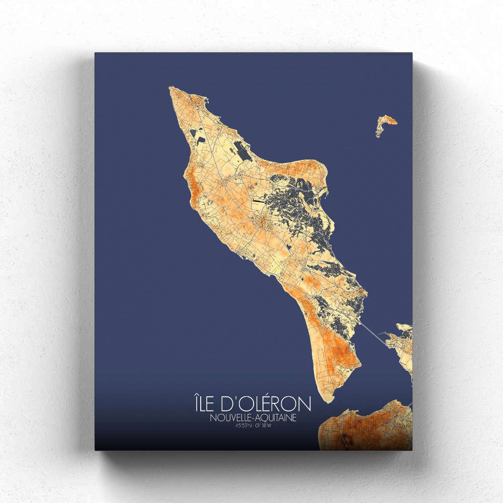
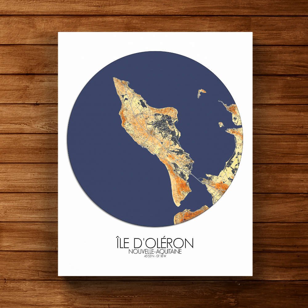
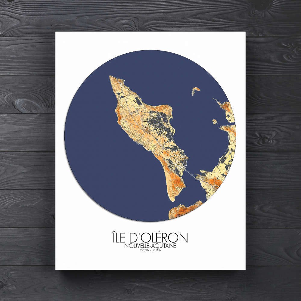
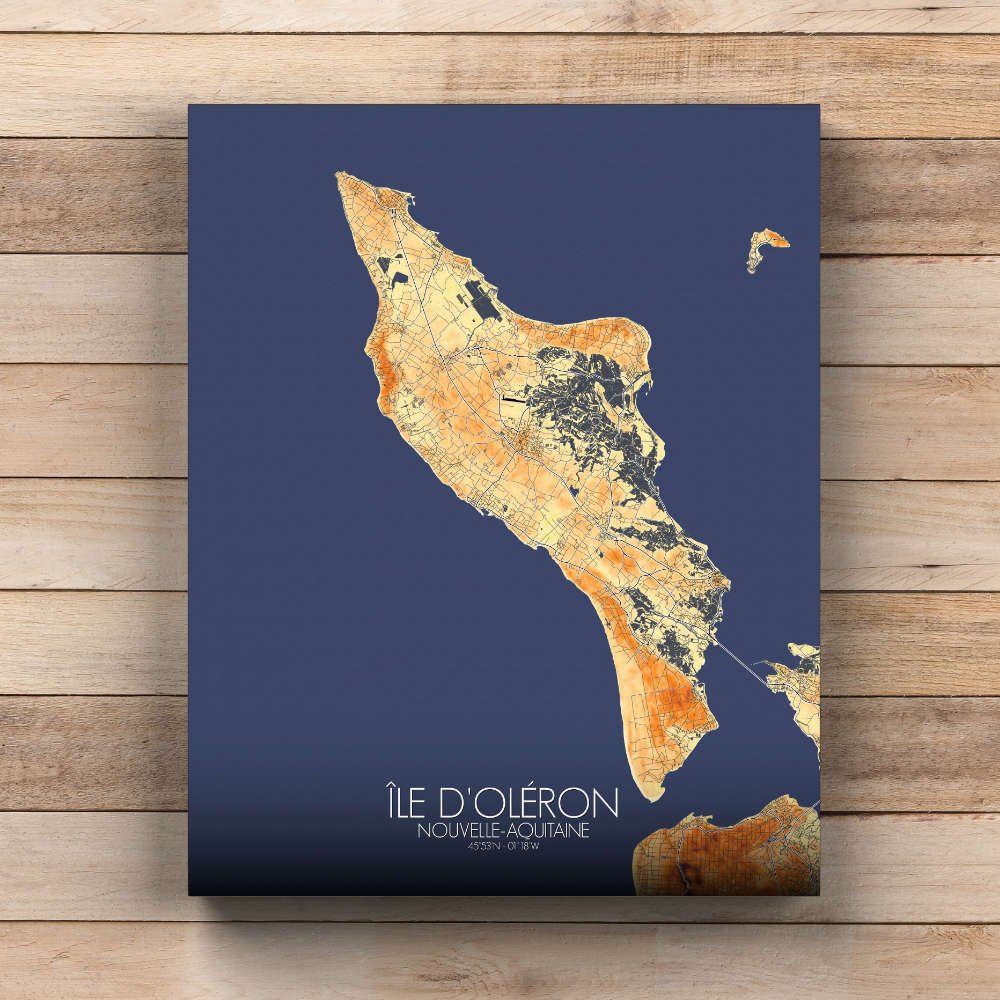
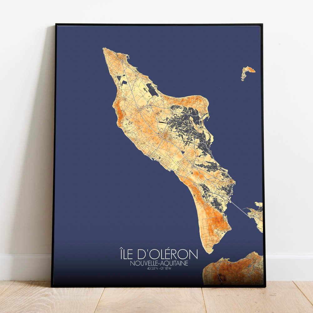

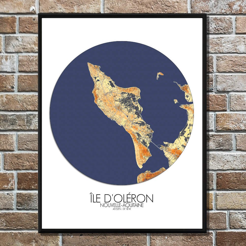
Poster Elevation map of Oleron, France: This elevation map of Île d’Oléron offers a fascinating view of one of France’s most charming and diverse coastal islands.
Located off the west coast of France, near La Rochelle, Oléron is known for its mix of rolling hills, expansive beaches, and rich maritime history. The map beautifully displays the island’s varied terrain, with gentle slopes and elevated areas like the forested hills in the north and the rugged dunes along the southern shores. It’s a place where the land rises and falls in subtle waves, inviting curiosity about what lies beyond the next curve of the coastline. At the heart of the map, you can trace the outlines of the island’s famous salt marshes, which have shaped its economy and history for centuries. These marshes, rich in flora and fauna, also add an elegant touch to the map’s design, their low-lying expanses contrasting with the higher points of land. The island’s dense forests, especially the beautiful Forêt de la Coubre, stand out in shades of green, offering a peaceful escape into nature. Not far from the forests, the famous lighthouse of Chassiron marks the northern tip of the island, a reliable guide for sailors through the rough waters of the Atlantic. Oléron’s long history as a haven for pirates, traders, and fishermen is etched into the land itself, from the charming old villages to the scattered fortifications. The map showcases the gently rolling hills and seaside cliffs where tales of seafaring adventures are still whispered by the wind.