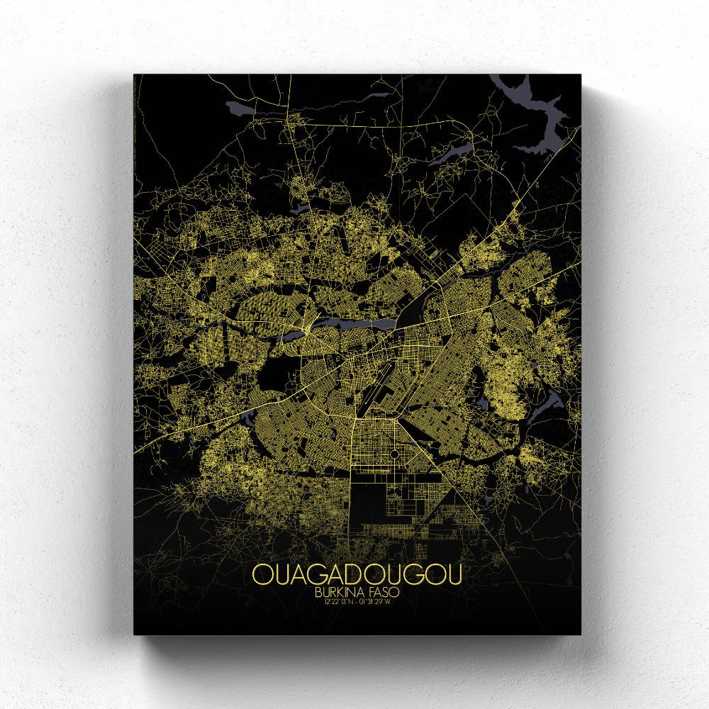
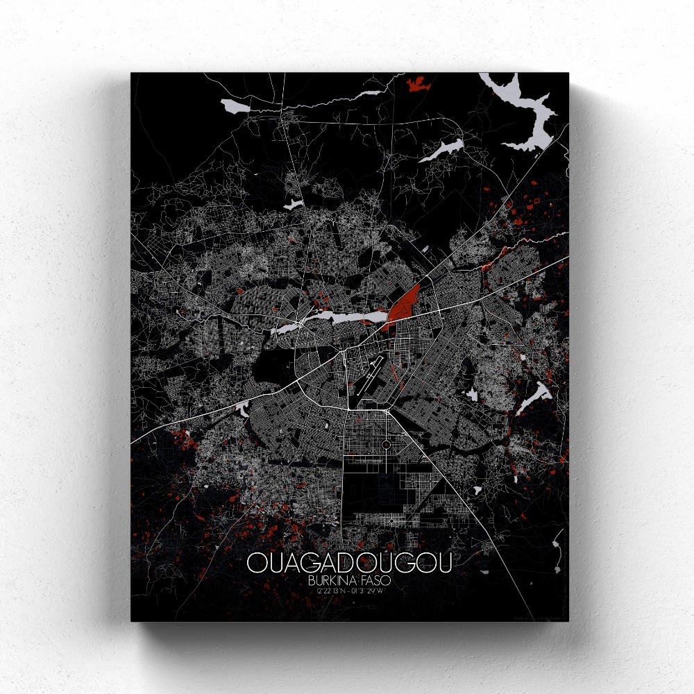

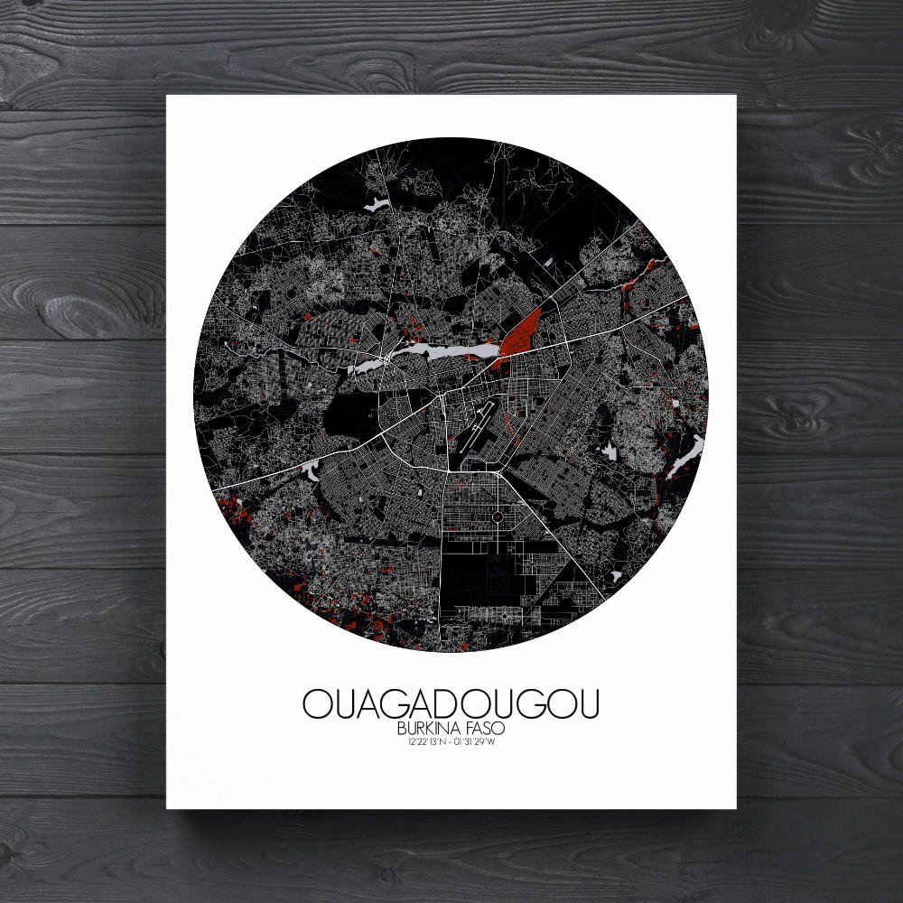
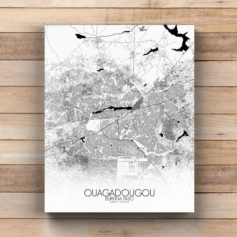
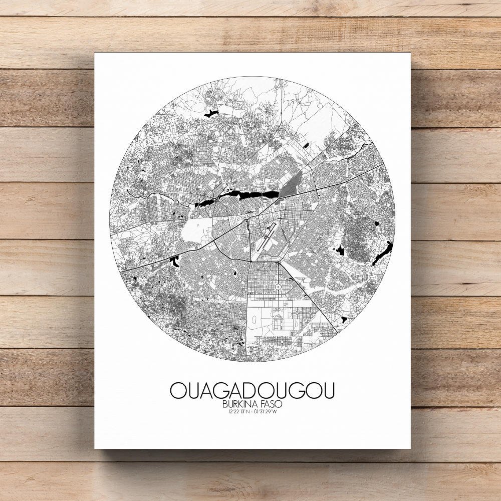
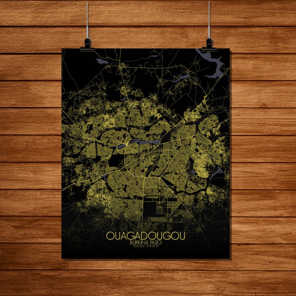
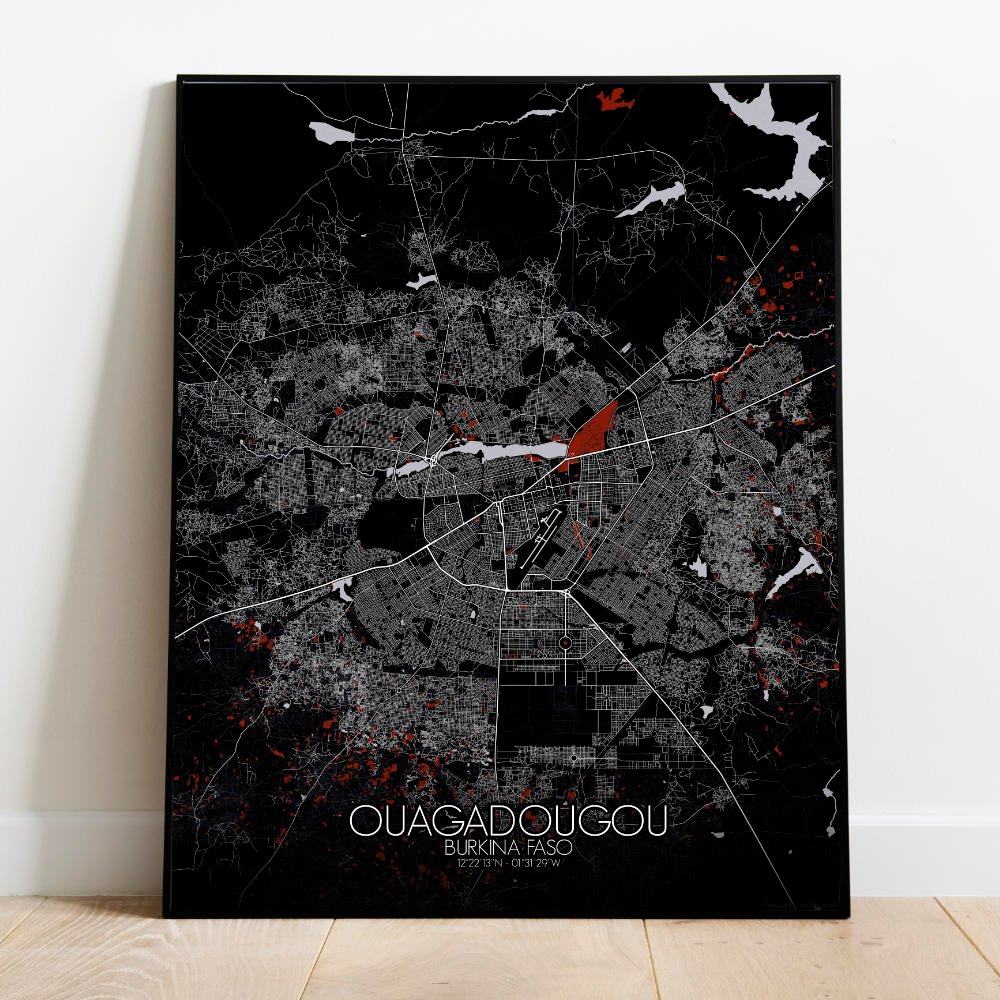

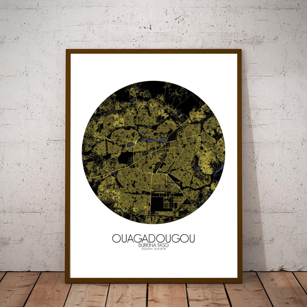
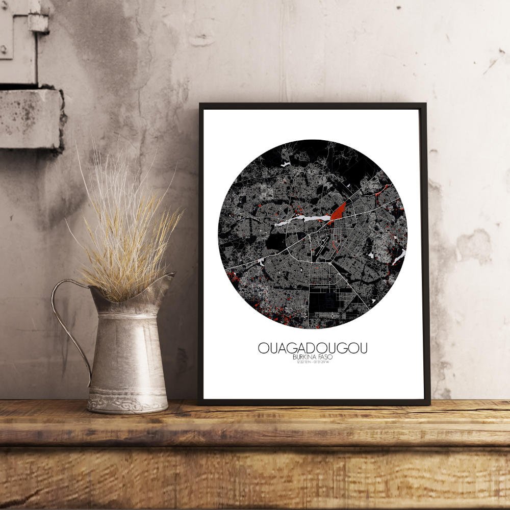
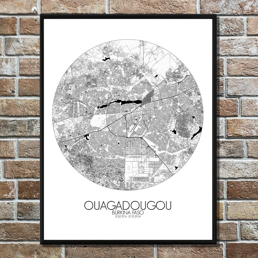
Poster City map of Ouagadougou, Burkina Faso: This map of Ouagadougou is a unique window into a city where modern life and tradition coexist harmoniously.
Nestled in the central part of the country, Ouagadougou sits on a relatively flat terrain, though its occasional gentle hills and the nearby Nakambé River provide subtle variation to the landscape. The river, winding its way through the outskirts, has been a lifeline for the city, and its presence on the map adds a sense of calm to the surrounding bustle. As for landmarks, the map of Ouagadougou showcases both the modern and the traditional. The iconic Place de la Nation, the heart of the city, stands as a hub of activity, surrounded by government buildings and cultural landmarks. The National Museum of Burkina Faso, with its collection of historical and cultural artifacts, reflects the country’s rich heritage, and it stands as a reminder of Ouagadougou’s role as a cultural center. To the south, the beautiful, ancient Grand Mosque, with its simple yet striking design, offers a nod to the city’s long-standing Islamic history.