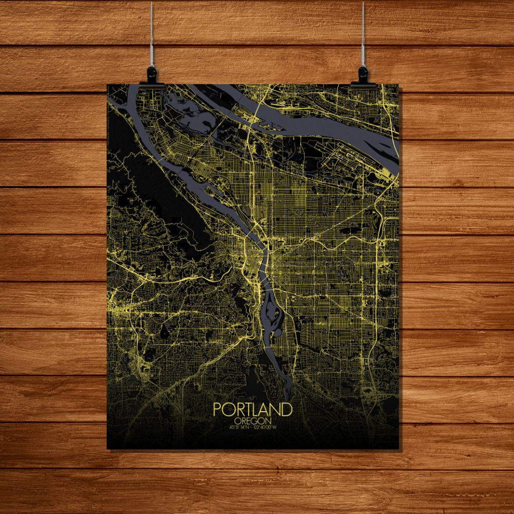
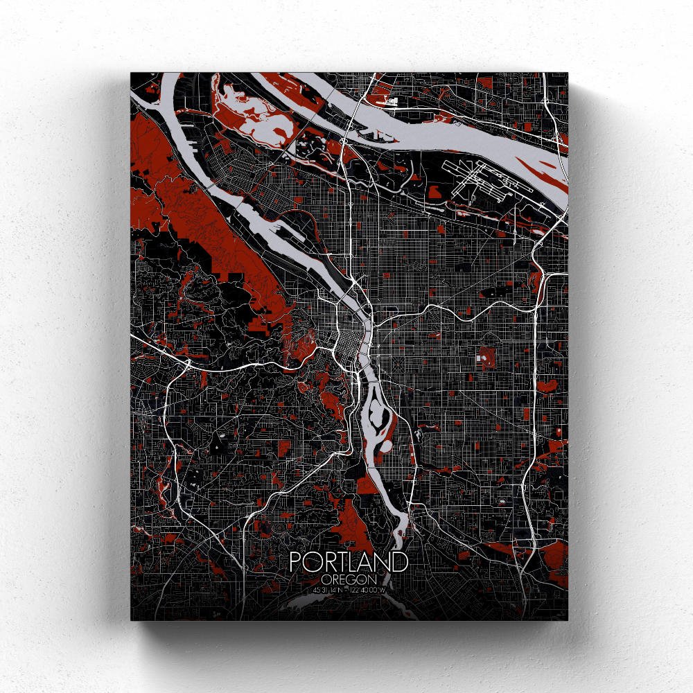
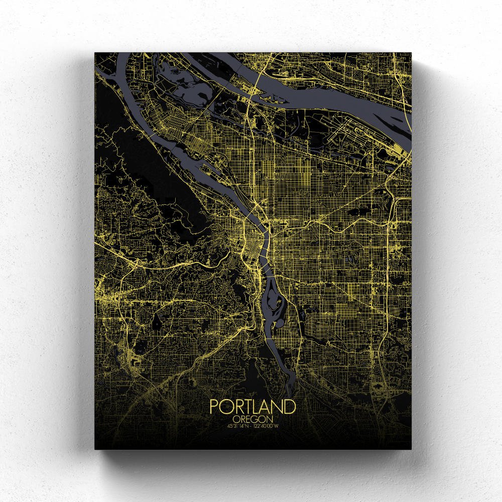
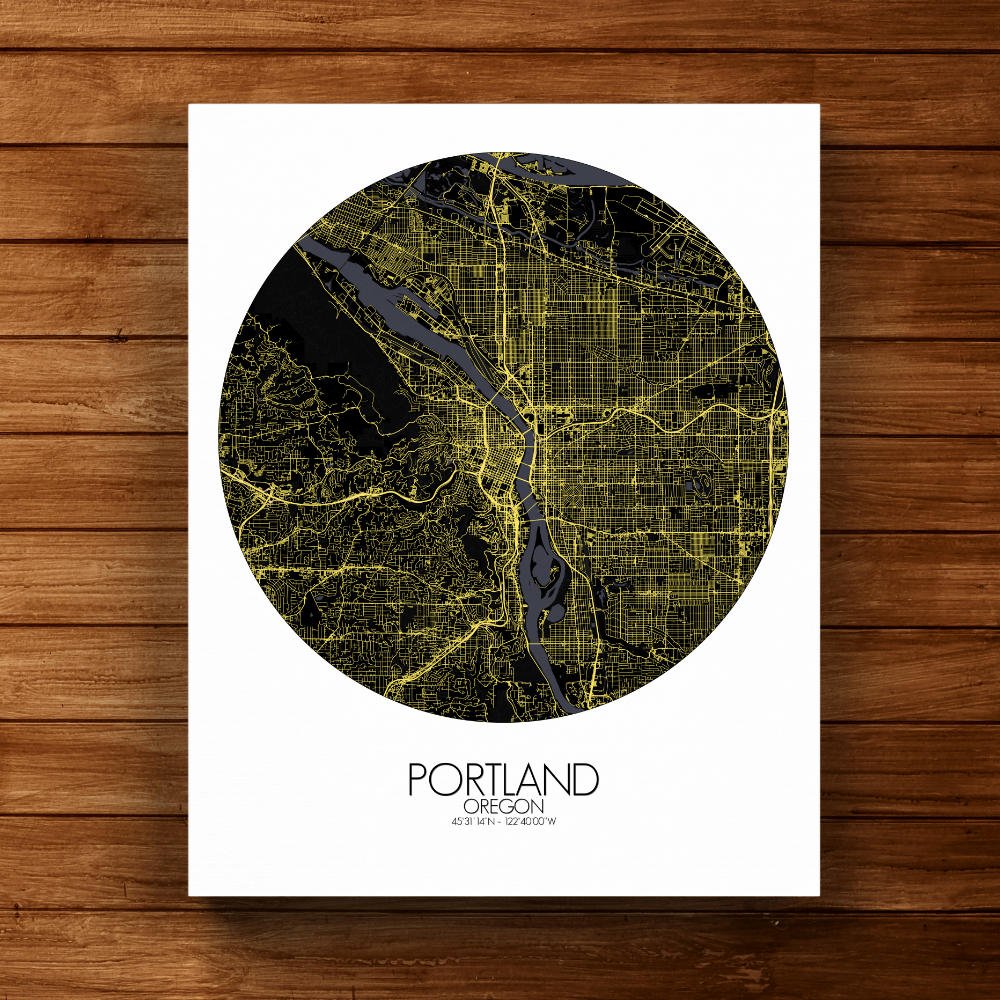
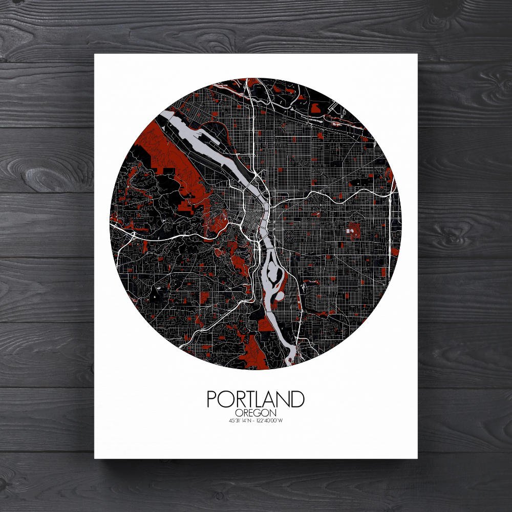
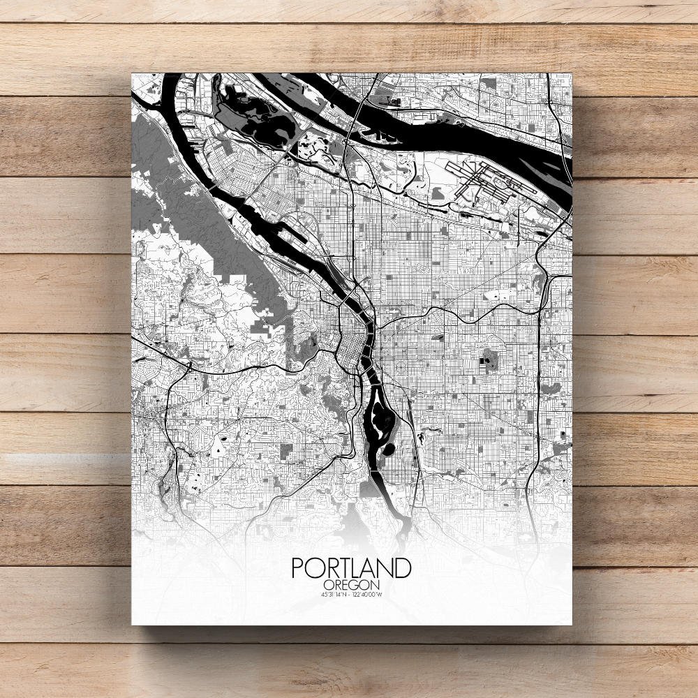
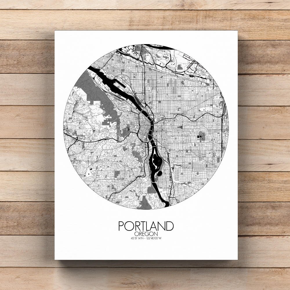
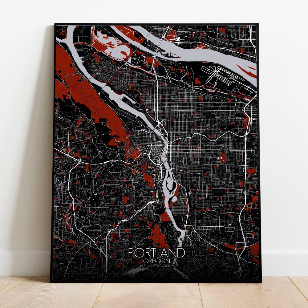
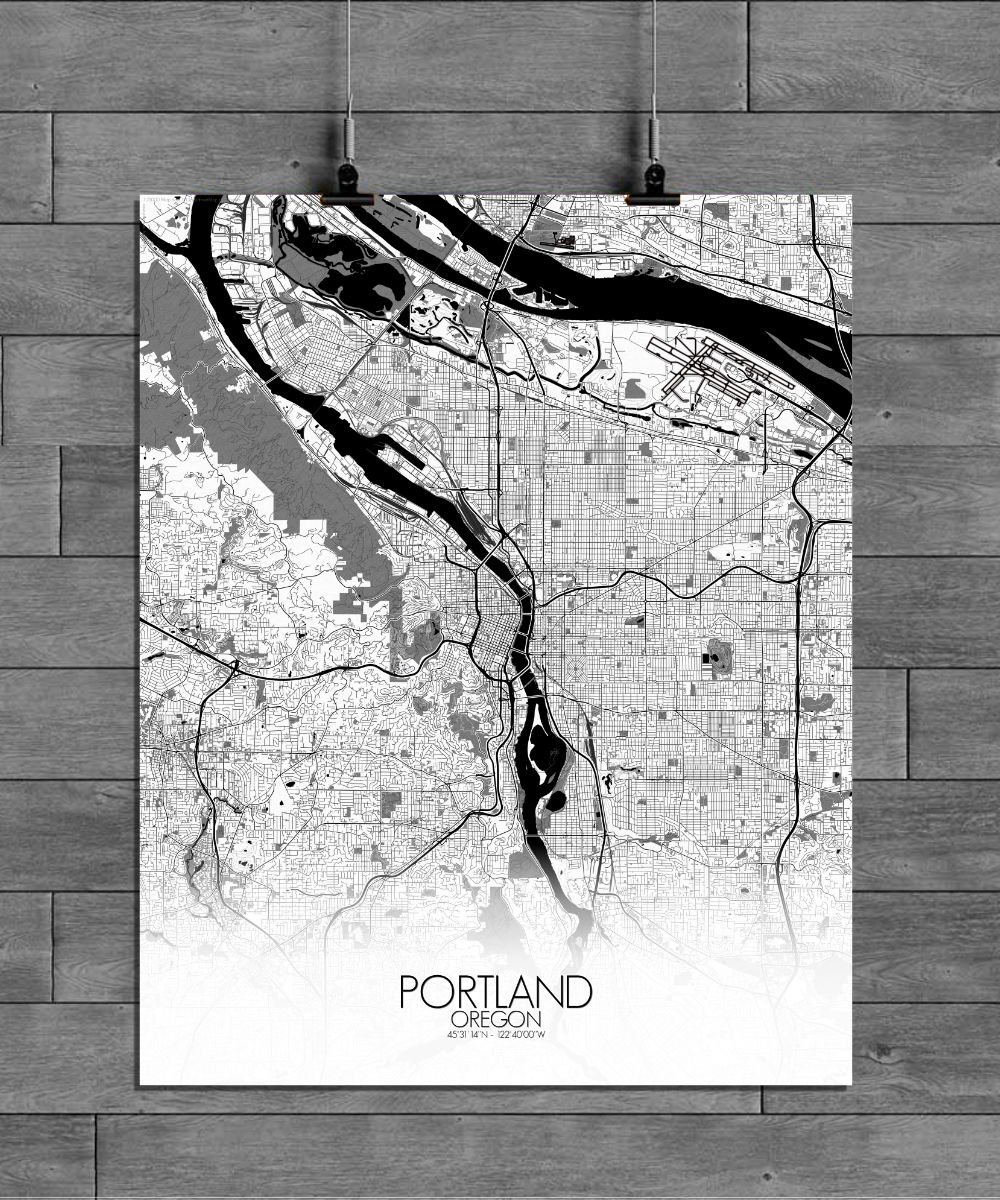
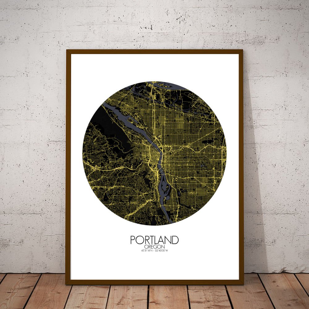
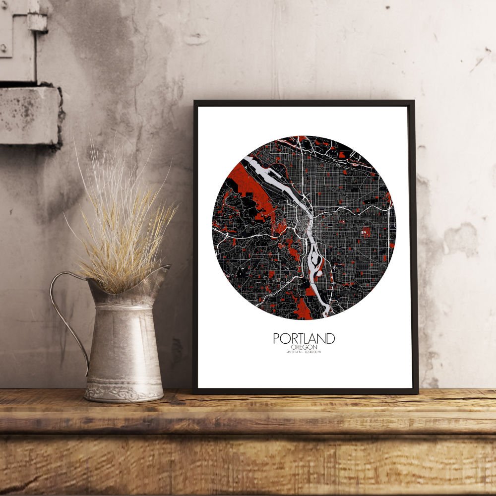
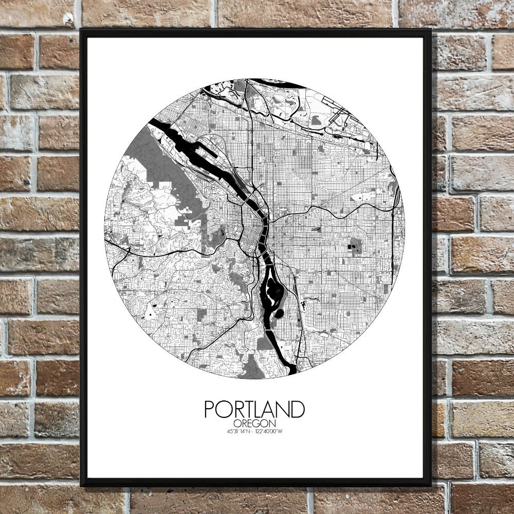
Poster City map of Portland, Oregon: this map paints a picture of a city where the outdoors never feel far away, and where the past and present blend effortlessly into the landscape.
The map captures the unique geography of this Pacific Northwest city, nestled between the mighty Columbia River to the north and the Willamette River cutting through the heart of the city. These two rivers shape not only the land but the spirit of Portland, with bridges like the St. Johns and Hawthorne connecting neighborhoods in a city that’s as much about water as it is about land. The city’s terrain is defined by its rolling hills and sprawling greenspaces, with the West Hills offering a stunning vantage point over the city. From here, you can almost imagine the pioneers of the 1800s, following the Oregon Trail, gazing out at the land they had just discovered. The map highlights the lush expanses of Forest Park, one of the largest urban forests in the U.S., and the colorful rows of gardens and parks, which make Portland a true “City of Roses.” There’s even Washington Park, home to the Portland Japanese Garden, a peaceful oasis that’s as much a work of art as the city itself.