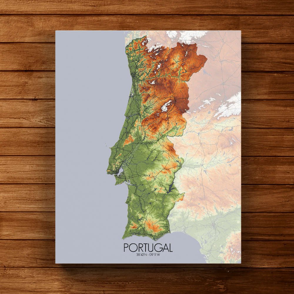
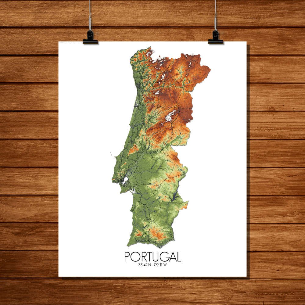
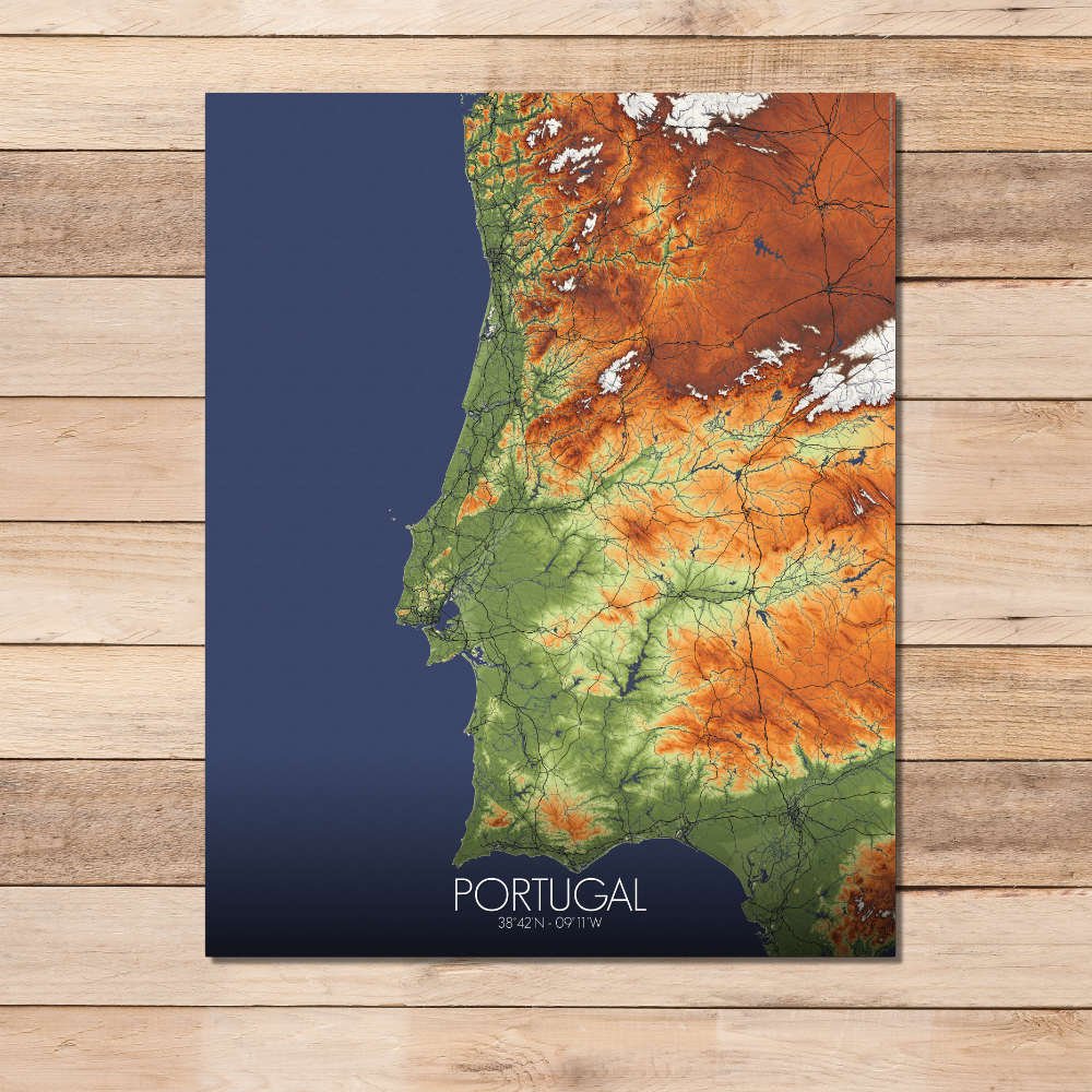
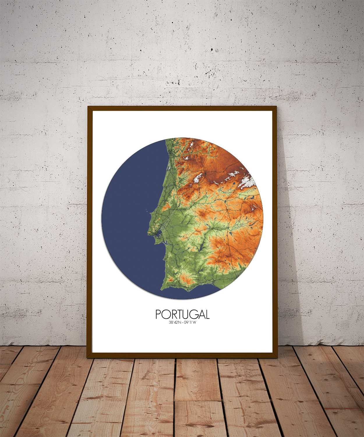
Poster City map of Portugal: A celebration of the country’s history, culture, and the timeless dance between the land and its people.
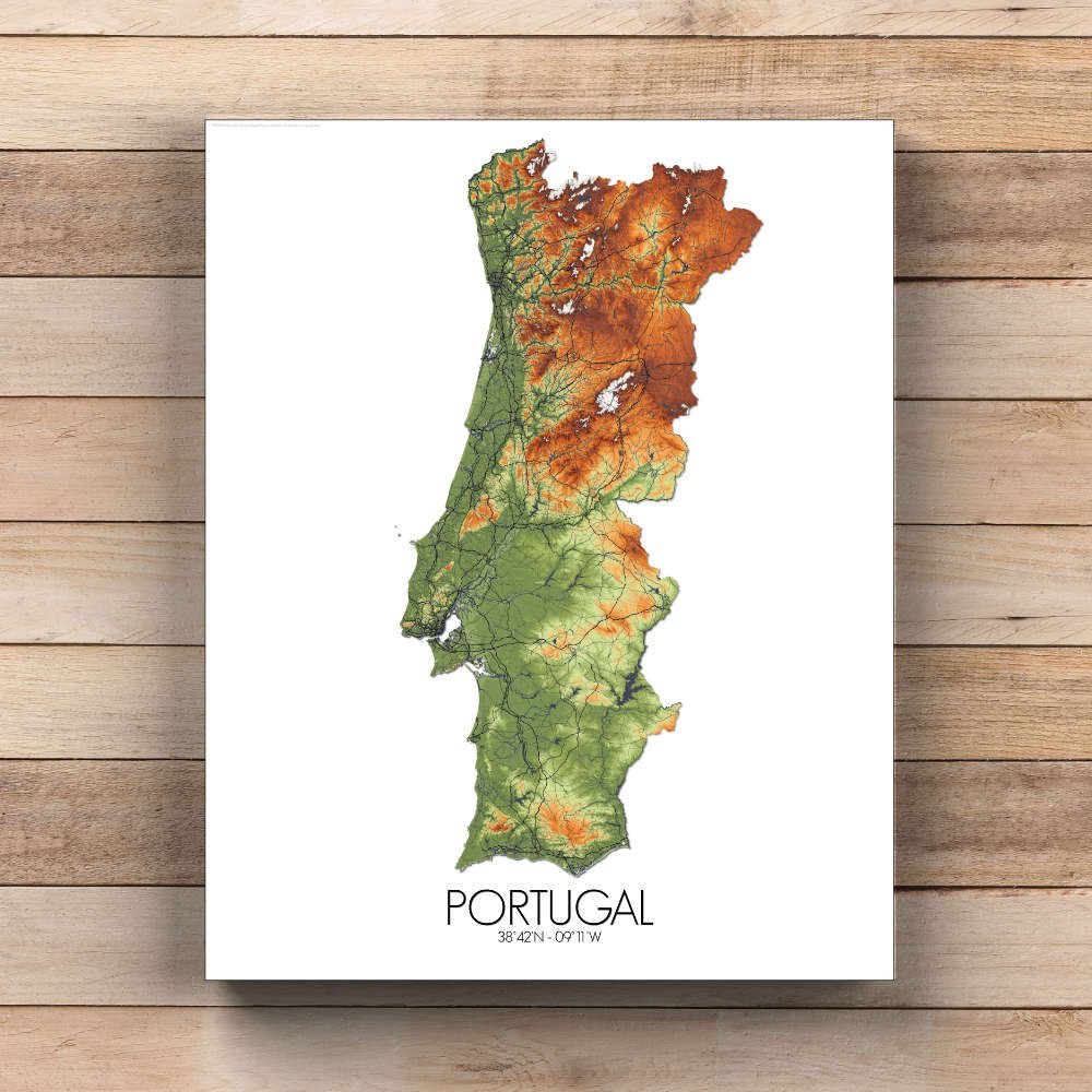
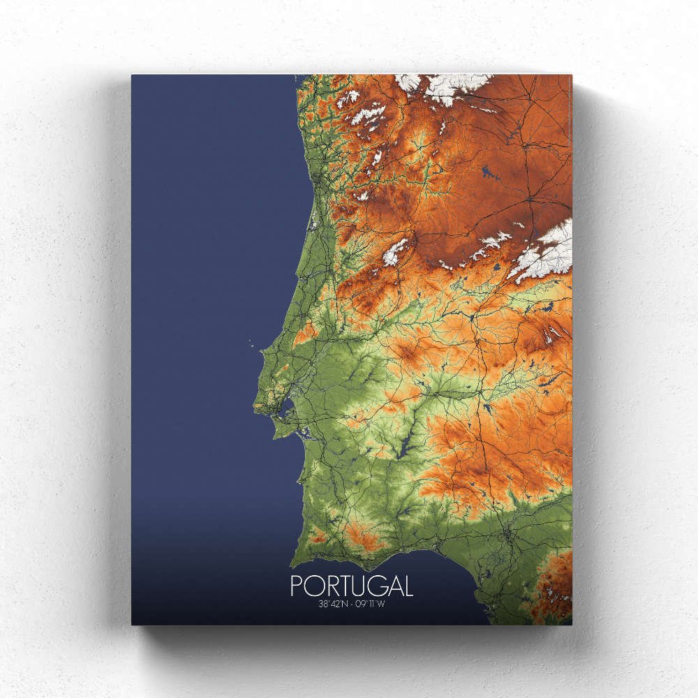
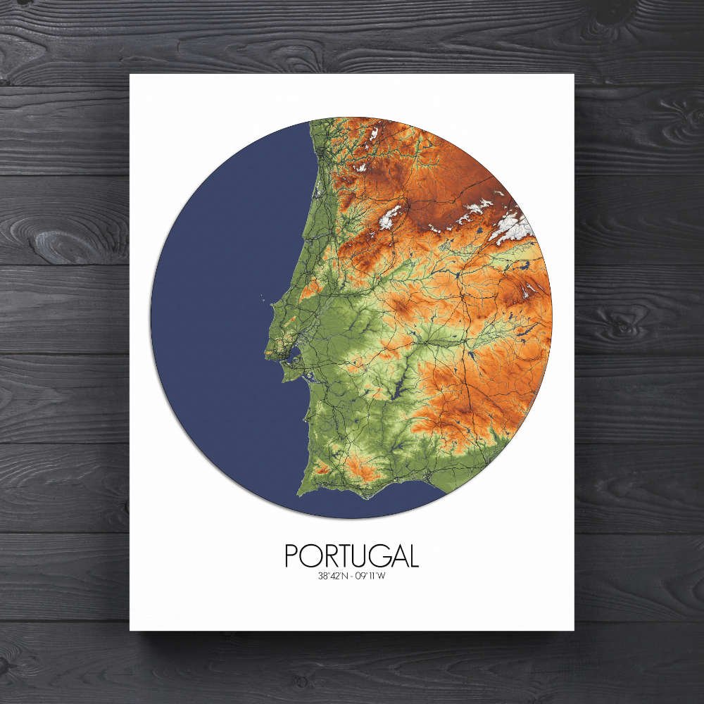
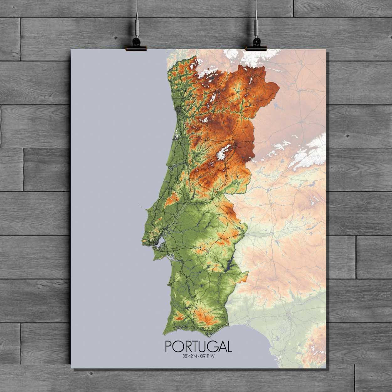
This map highlights Portugal’s dramatic topography, where the steep hills of the northern regions give way to the gentle slopes of the south. The central part of the country is dominated by the Serra da Estrela mountains, whose snow-capped peaks rise like sentinels over the land, while the gentle roll of the Alentejo plains stretches out to the horizon, offering a quiet contrast to the dramatic hills. This map doesn’t just show elevations; it tells a story of a land shaped by both nature and history. From the northern rivers that carve through deep valleys to the southern cliffs that meet the Atlantic Ocean, the terrain is as varied as the stories told by those who’ve lived here. The fertile Douro Valley, famous for its terraced vineyards and winding river, is a visual feast, its steep slopes rising up from the water like nature’s own amphitheater. Portugal’s landmarks are here too, from the majestic peaks of the Serra do Gerês to the city of Lisbon, where the Tagus River flows gently past the hills and along the coastline. The golden plains of the Alentejo are dotted with historic castles, reminders of battles fought and kingdoms lost, standing tall against the backdrop of sprawling countryside. The map also features the iconic craggy cliffs of the Algarve coast, where the land meets the sea in a dramatic show of nature’s force.