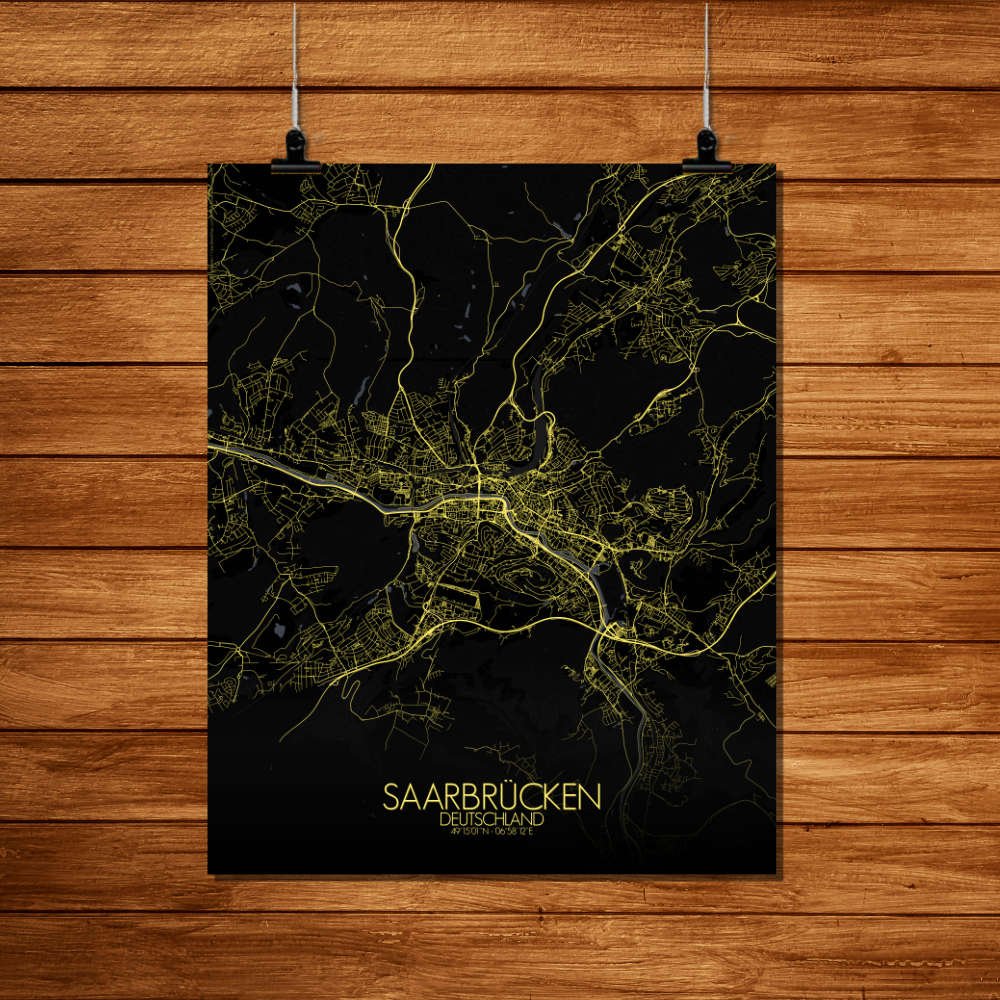
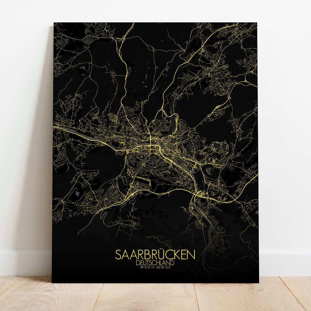
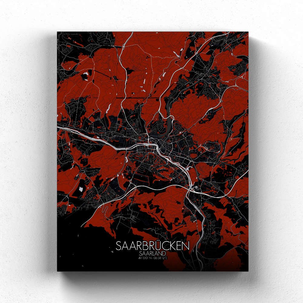
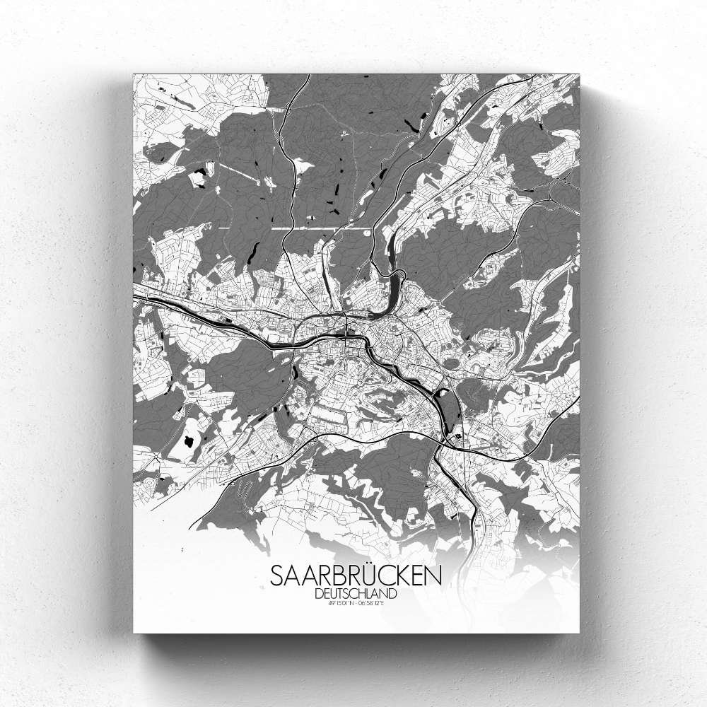
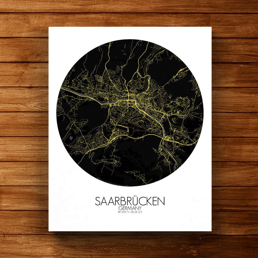
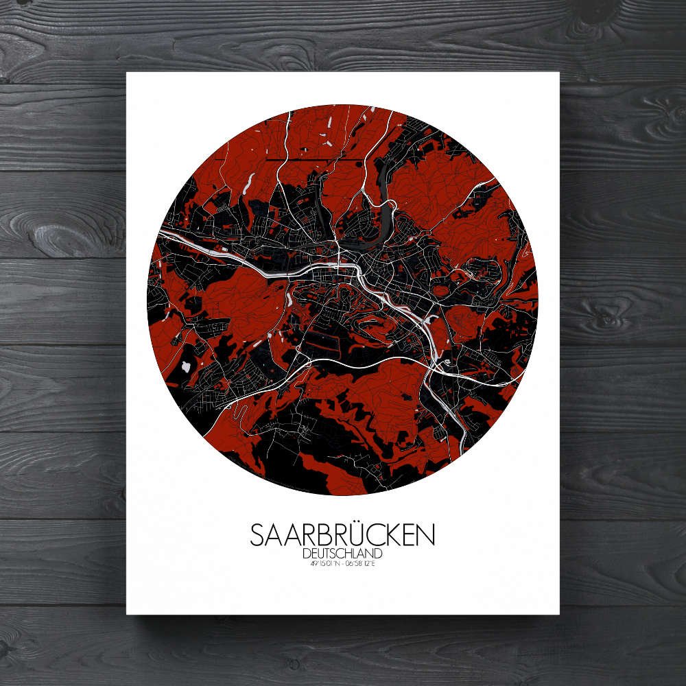
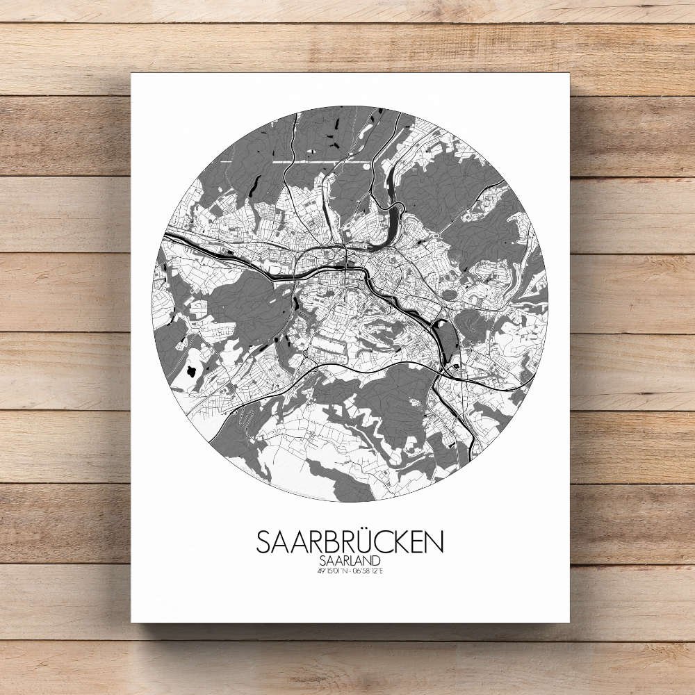
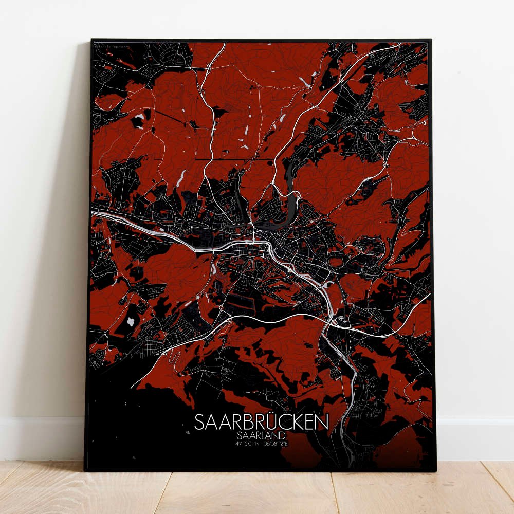
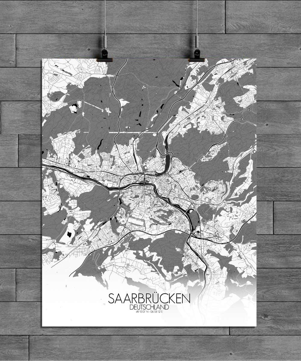
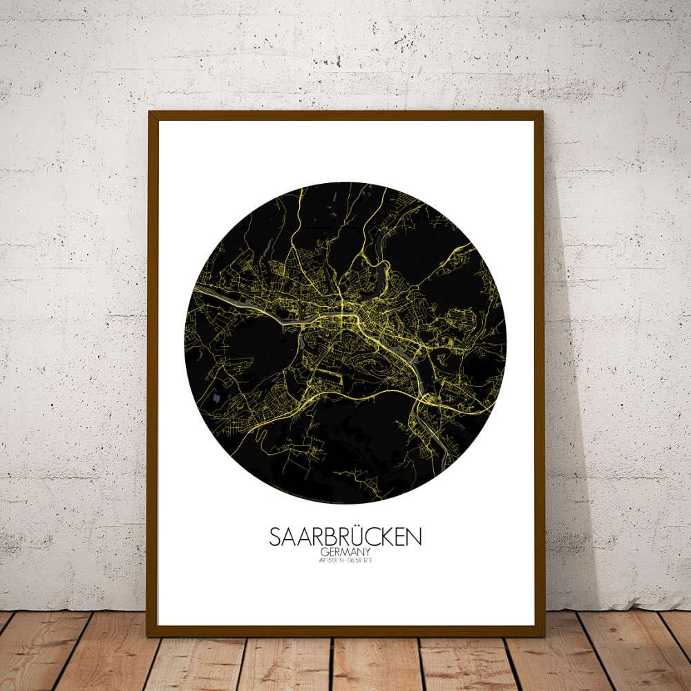
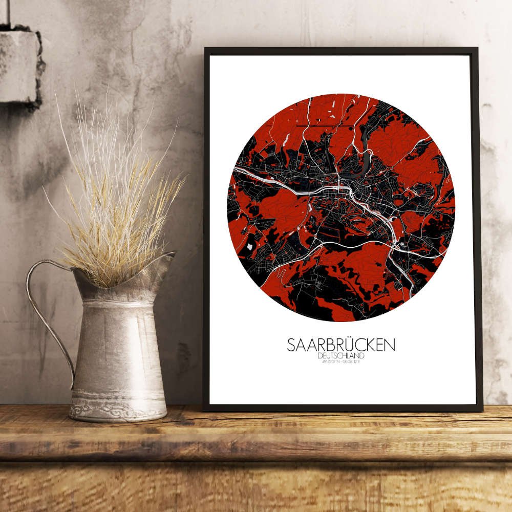

City Map Poster of Saarbrücken, Saarland: in the heart of the Saarland region in southwestern Germany.
Surrounding the castle, the Altstadt (Old Town) unfolds with its charming cobblestone streets, medieval buildings, and lively market squares. The majestic St. Johanner Markt, lined with quaint cafés and bustling shops, adds vibrancy and character to the map, while the imposing St. Johanner Church rises majestically above the surrounding rooftops.
You can spot he iconic Saarbrücken Castle, a magnificent fortress that has stood watch over the city for centuries. Its towering battlements and imposing silhouette lend a sense of grandeur to the map, serving as a striking focal point amidst the urban landscape.
Flowing through the city like a ribbon of silver, the Saar River meanders gracefully, offering scenic views and recreational opportunities along its banks. The lush greenery of the Saarland region envelops the map, with rolling hills, dense forests, and meandering trails inviting exploration and discovery.
This map showcases Saarbrücken’s strategic location at the crossroads of Europe, with its proximity to France and Luxembourg reflected in its cultural diversity and cosmopolitan atmosphere.