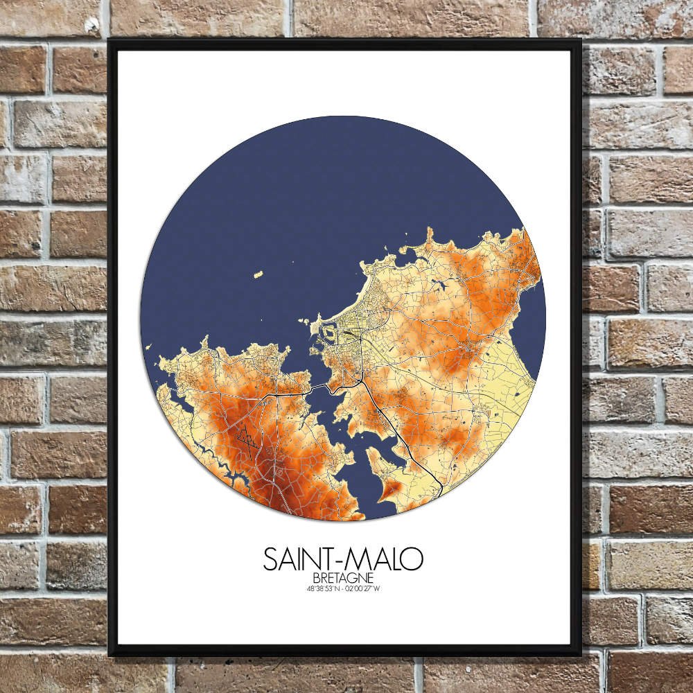
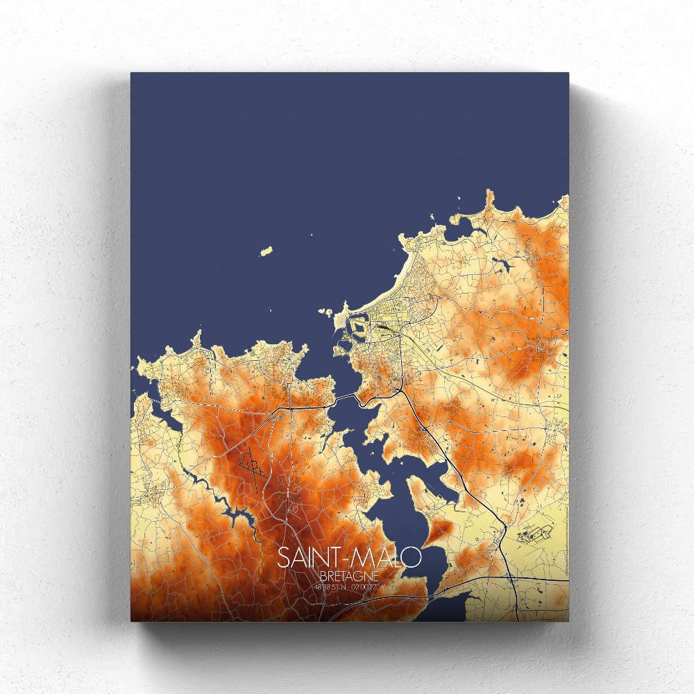
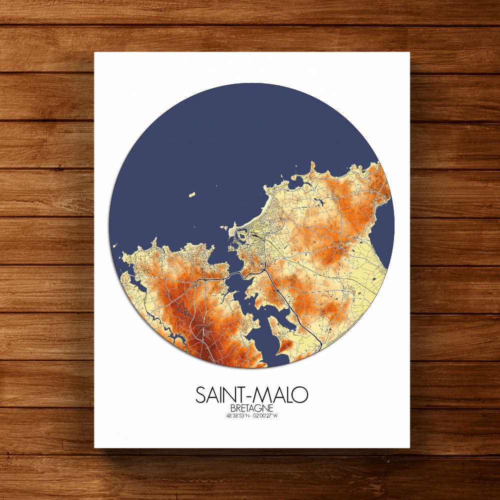
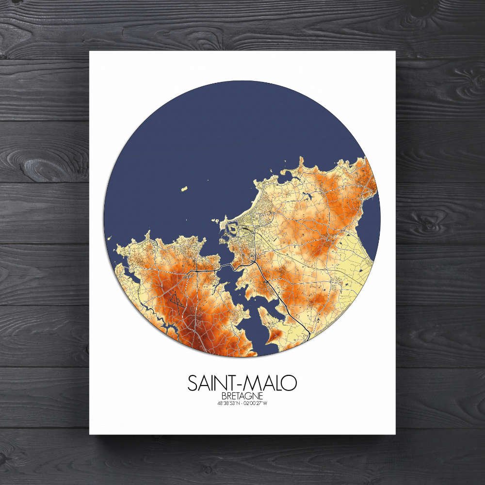
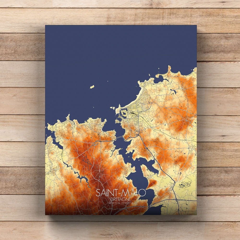
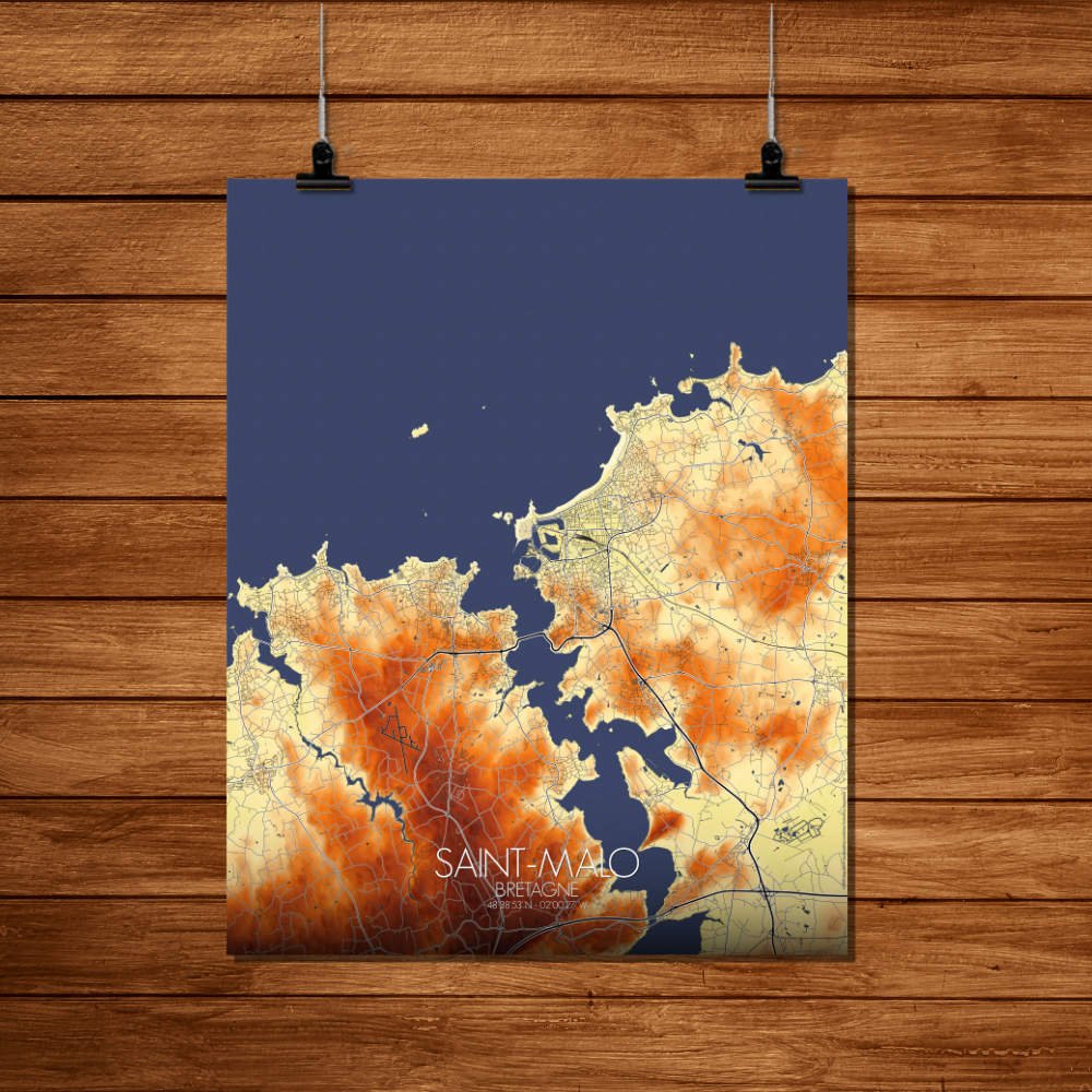
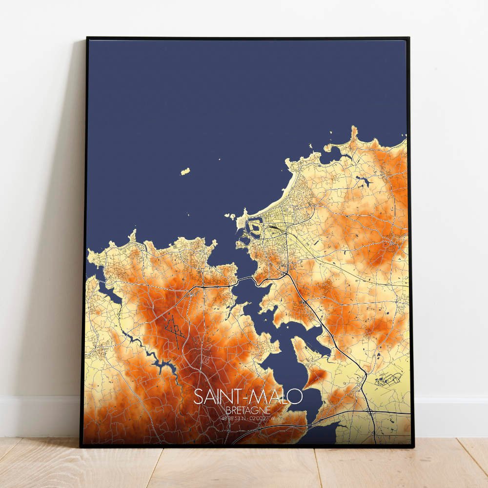
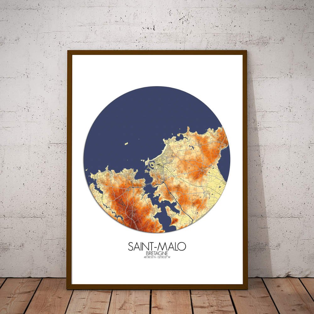
Poster Elevation map of Saint Malo, France: This map’s design captures the natural beauty of the rugged area, with the town’s famous fortifications standing proud against the backdrop of the Atlantic.
This elevation map of Saint-Malo, France, is a stunning tribute to the city’s rich history and varied terrain. Nestled on the rugged coastline of Brittany, Saint-Malo is known for its towering ramparts, sandy shores, and dramatic cliffs that rise from the sea. As your eyes wander across the map, you’ll see the narrow, winding streets of the Old Town, or “Intra-Muros,” which sits perched atop a rocky peninsula. To the west, the map reveals the peaceful expanses of green surrounding the city, including the lovely Parc de la Briantais, where locals might escape for a quiet stroll or picnic, and the verdant hillsides that offer panoramic views over the bay. The smooth contours of the land contrast with the sharp peaks and drops near the citadel, making it clear why Saint-Malo was once a pirate’s paradise. Of course, let’s not forget the famous Île du Grand Bé, which appears on the map as a small but striking feature. This little island, accessible only at low tide, is home to the tomb of the renowned writer Chateaubriand, who, no doubt, would have approved of this map’s artistic yet informative take on his beloved city. The map brings the vibrant history of the city to life, from its medieval origins to its transformation into a bustling maritime hub.