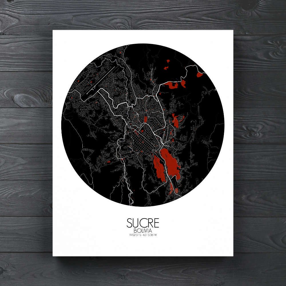
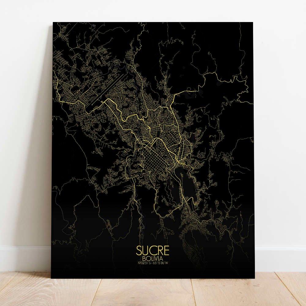
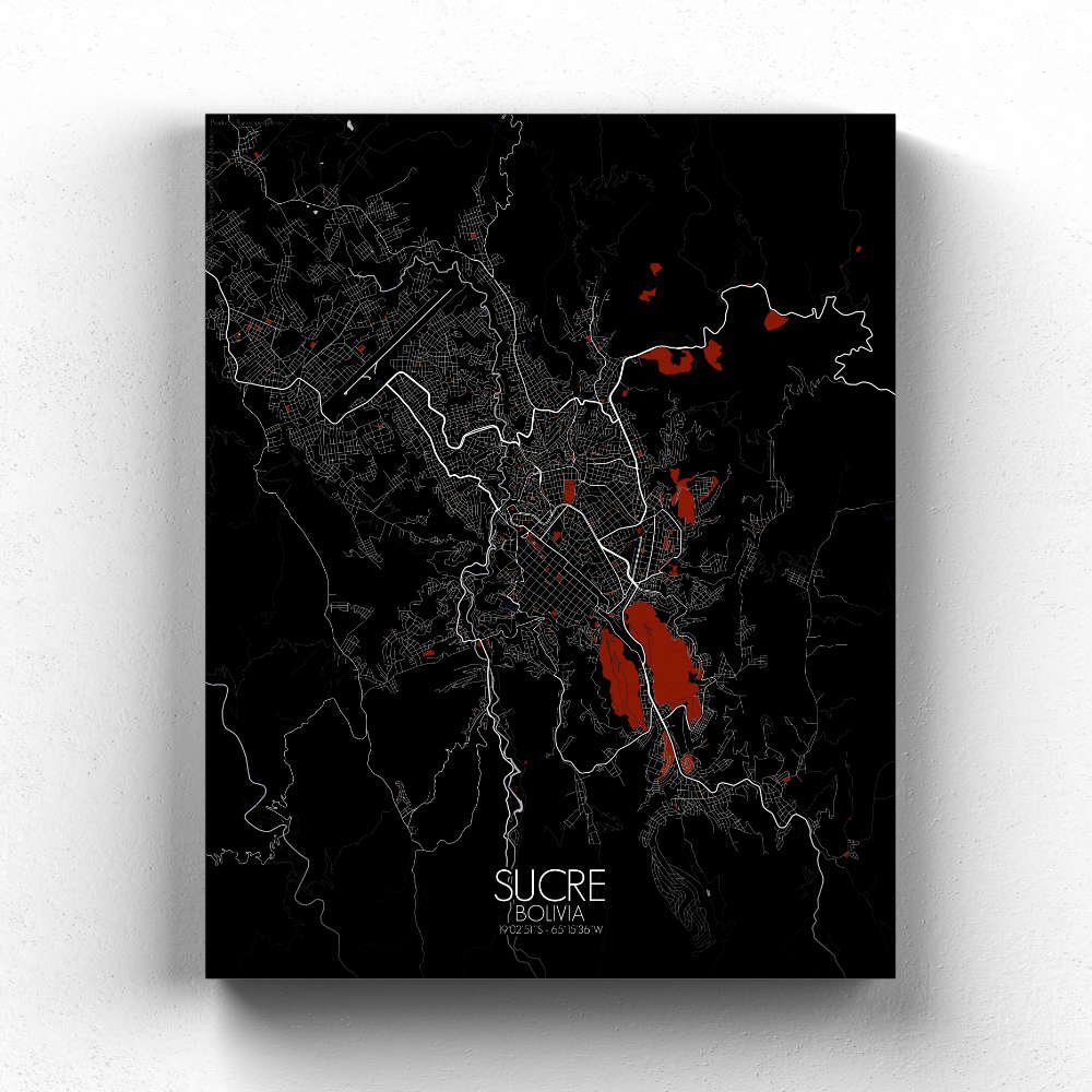
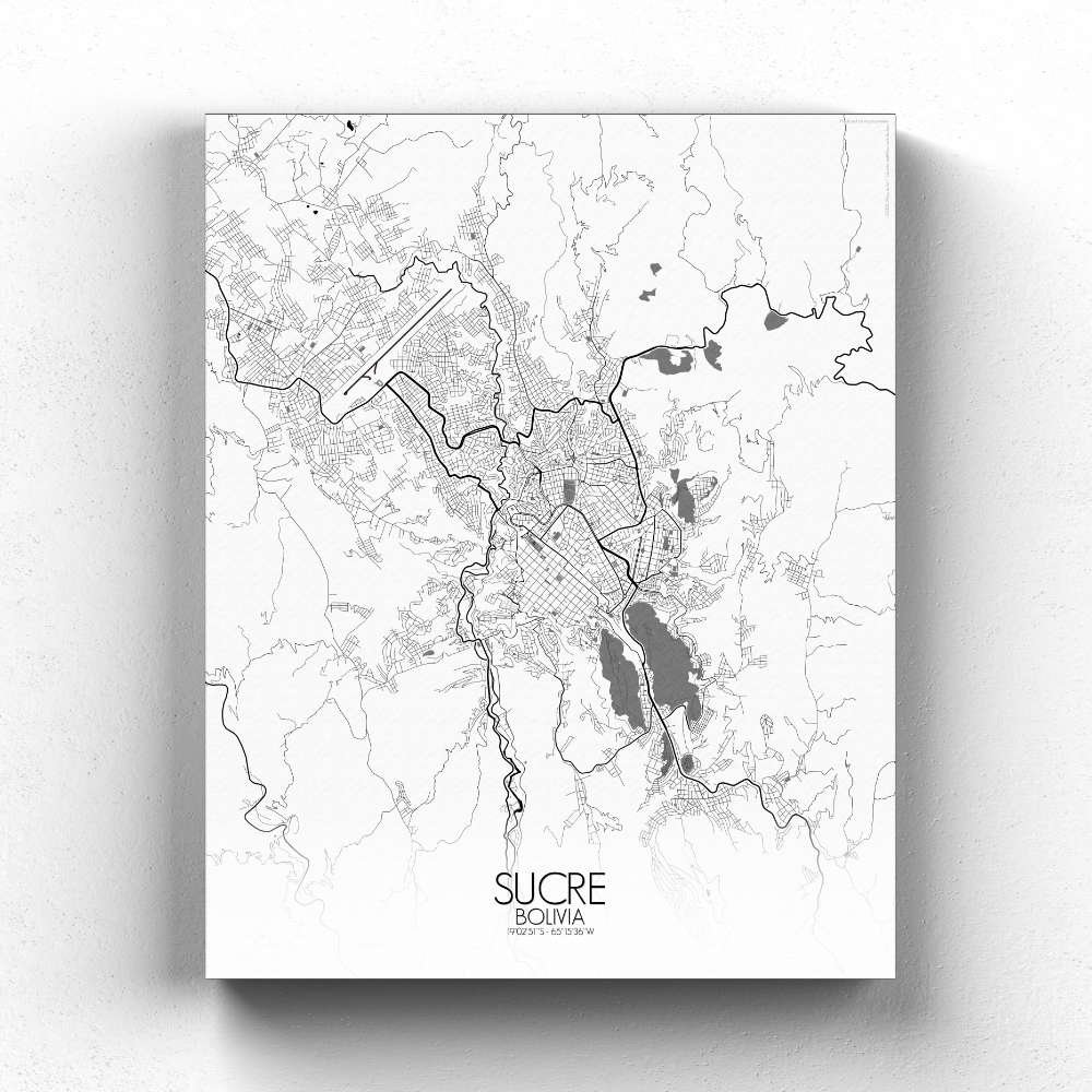
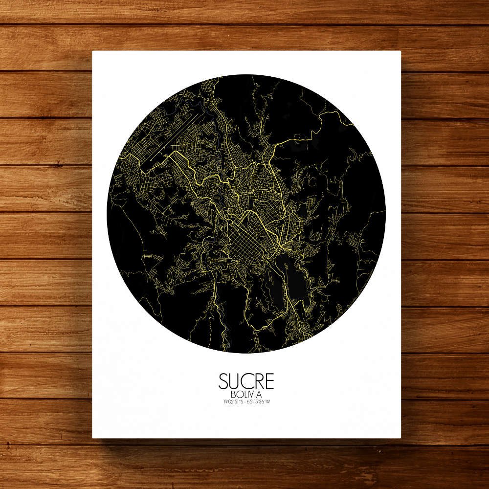
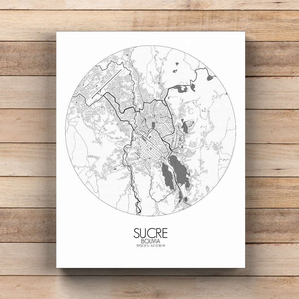
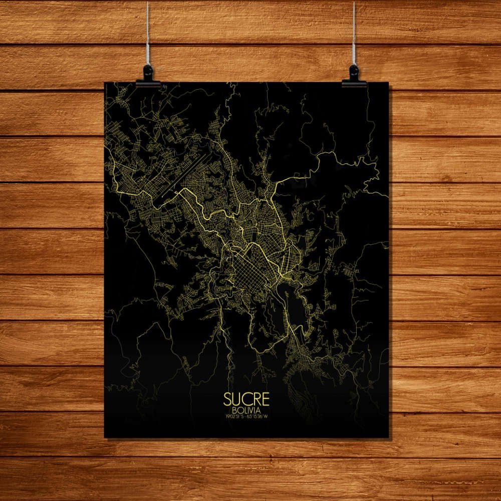
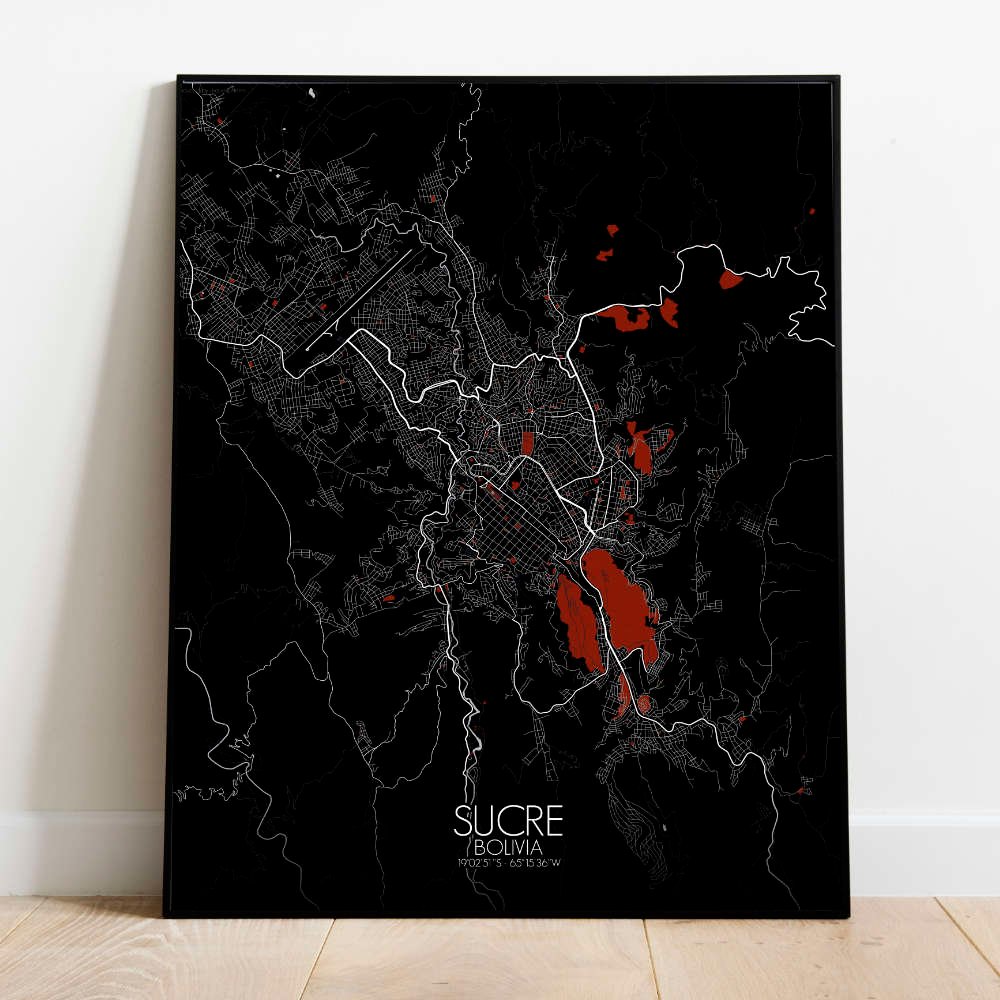
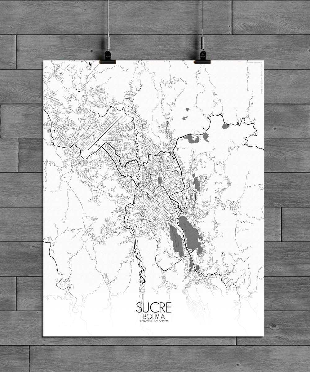
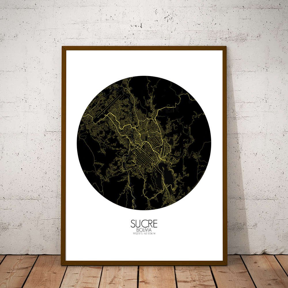
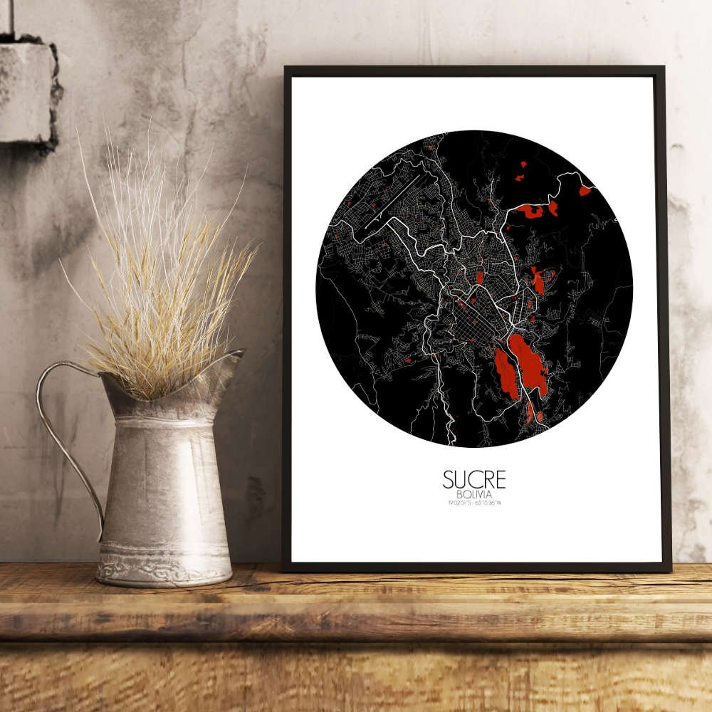
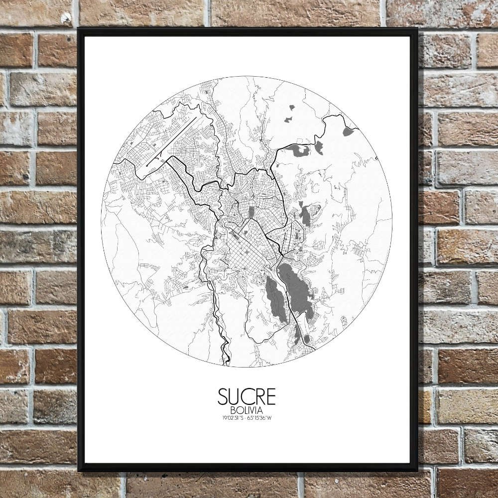
Poster City map of Sucre, Bolivia: Where the land itself seems to echo Bolivia’s fight for independence.
The City Map of Sucre offers a captivating glimpse into one of the country’s most historically significant cities, nestled in the southern part of Bolivia at an altitude of 2,800 meters. Surrounded by gentle hills, Sucre is set in a valley that blends its colonial past with a calm, almost tranquil landscape. At the center of the map, the Plaza 25 de Mayo, Sucre’s main square, stands as the city’s historic heart. Here, the whitewashed buildings of the Metropolitan Cathedral and the Palacio de la Libertad—once the seat of Bolivia’s government—offer a glimpse into the city’s colonial heritage. Sucre is not only a beautiful city, but also the place where Bolivia declared its independence in 1825, and this historical importance is felt in every corner of the city. The map also subtly captures the way Sucre has preserved its beauty while growing and adapting over time. Although the city remains small and intimate compared to Bolivia’s larger cities, its charm lies in its ability to balance modernity with its colonial roots, something clearly reflected in its urban design.