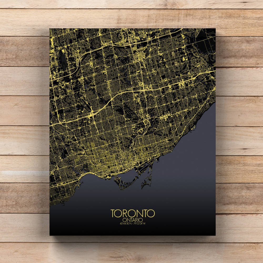
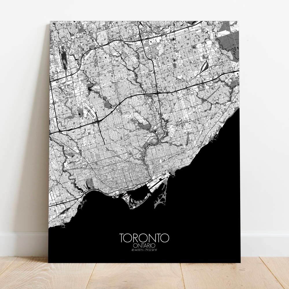
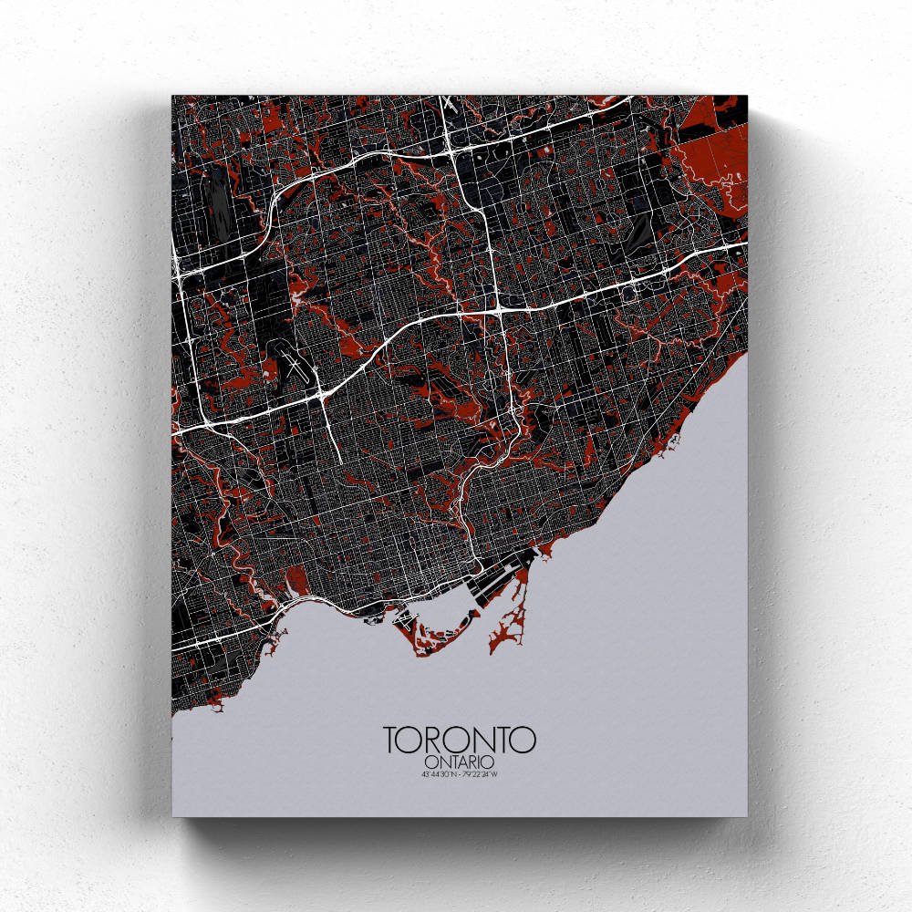

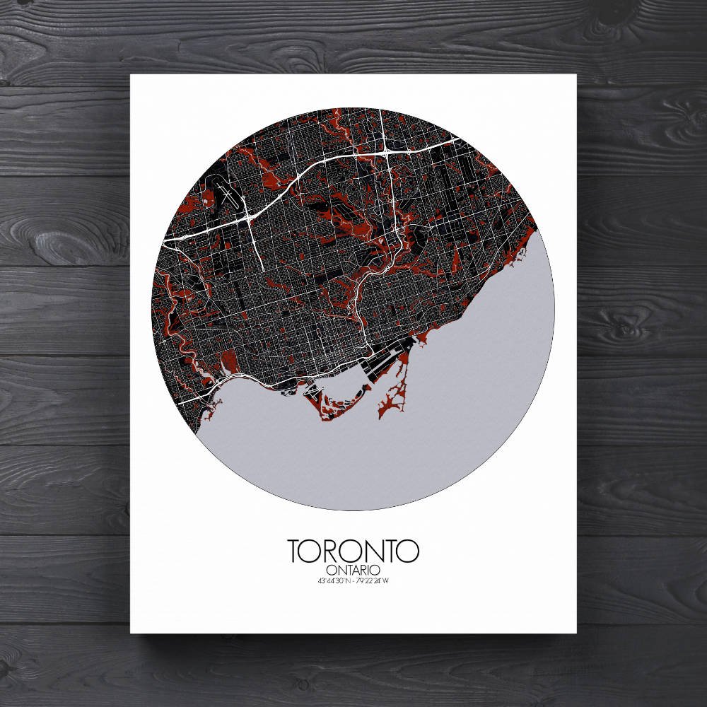


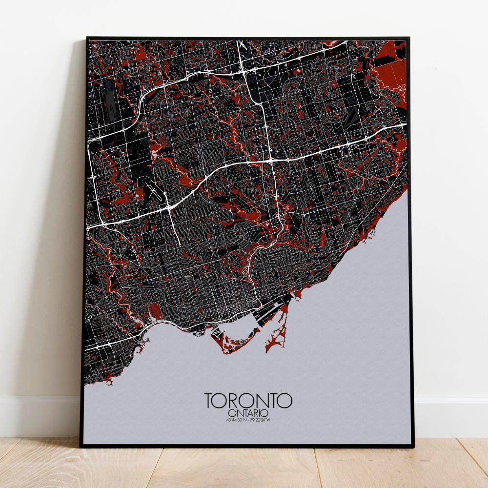
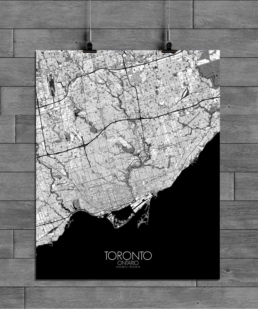
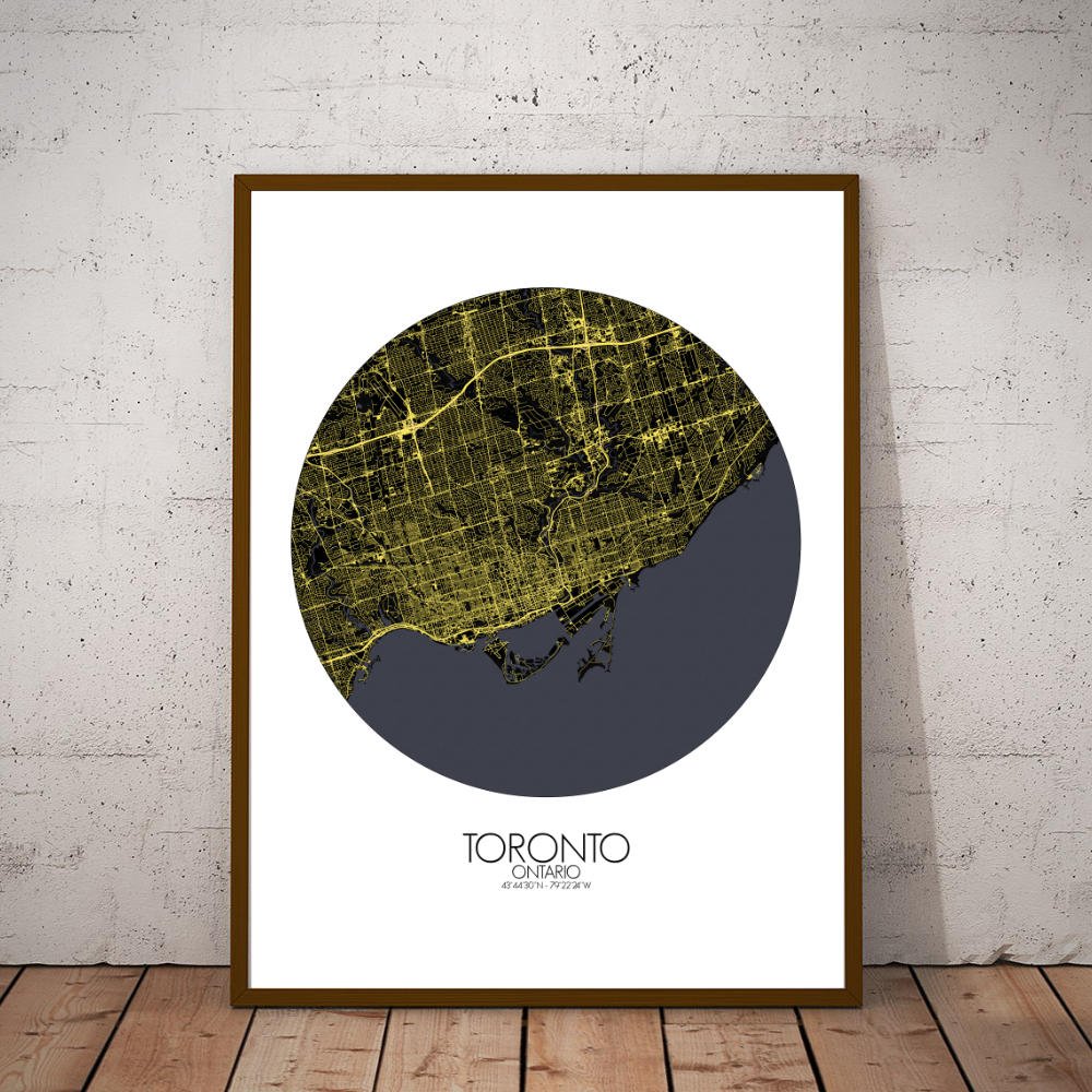

Poster City map of Toronto, Canada: The map of Toronto offers a striking view of Canada’s largest city, where the natural landscape meets urban life in a way that’s both organized and chaotic – in the best possible way.
The city is beautifully stretched along the northern shore of Lake Ontario, with the water offering a calming contrast to the hustle of the skyline. Toronto’s terrain is mostly flat, but you’ll notice subtle rises and dips, especially around the Don Valley to the east and the Humber River to the west, which carve their way through the city like ancient paths waiting for explorers. As for greenery, Toronto is a city that knows how to embrace its parks. High Park, with its sprawling lawns, ponds, and trails, adds a natural breath to the urban landscape. The city is dotted with smaller green pockets – from the elegant ravines that crisscross the city, like the Don Valley Ravine, to the lush expanses of the Toronto Islands, a short ferry ride away from downtown. These green spaces aren’t just places to stretch your legs; they tell a story of a city that knows how to balance its urban sprawl with nature’s tranquility.