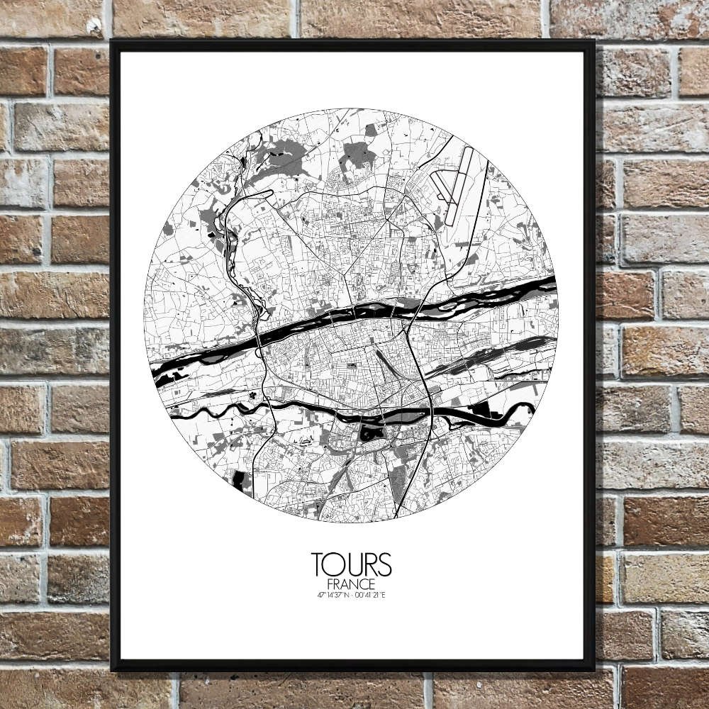
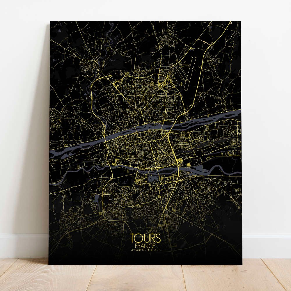
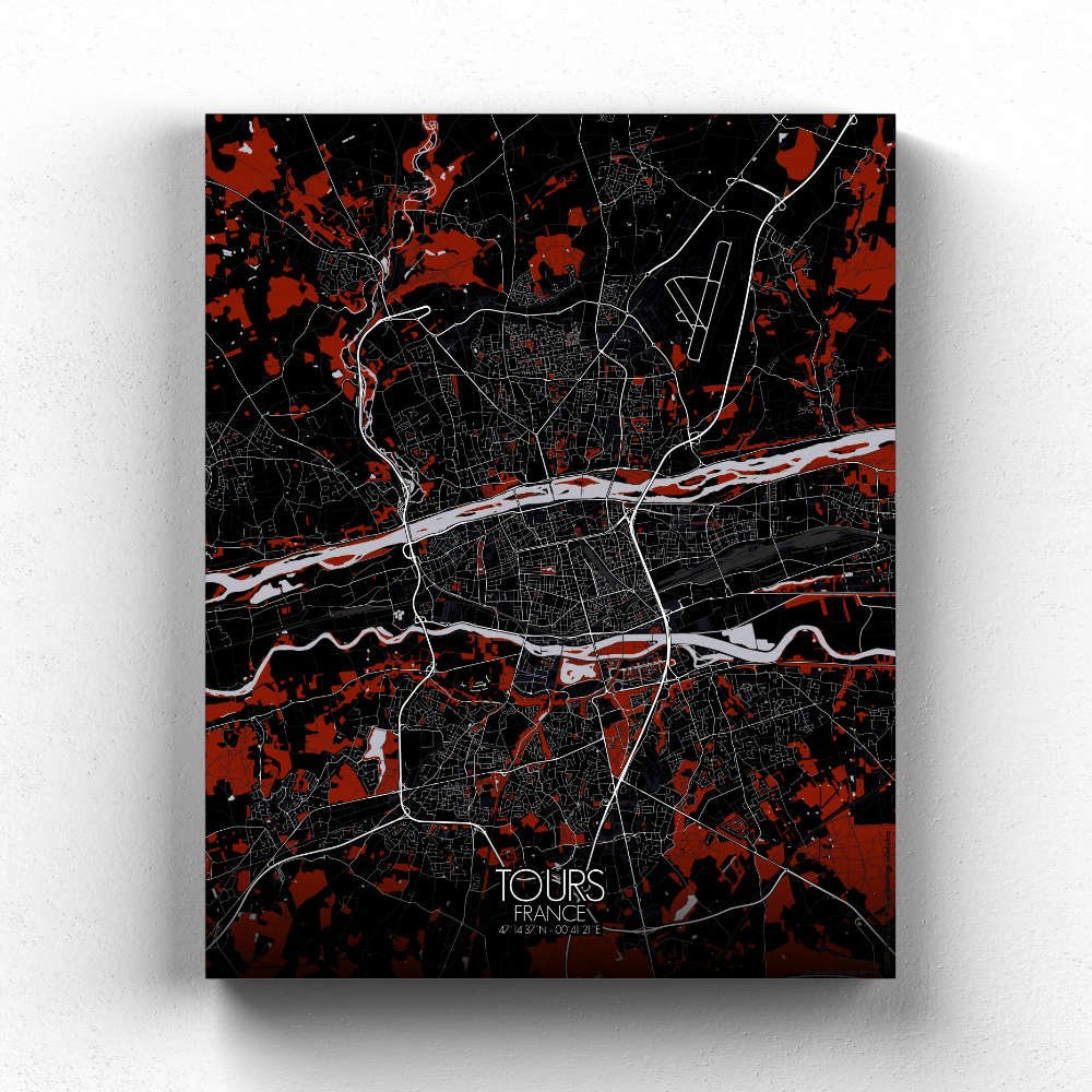
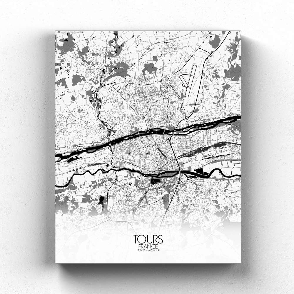
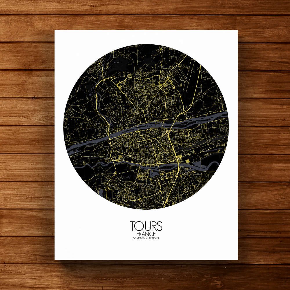
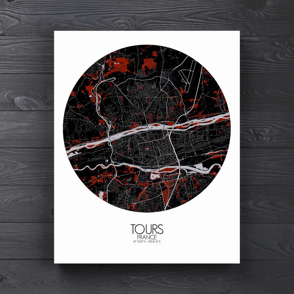
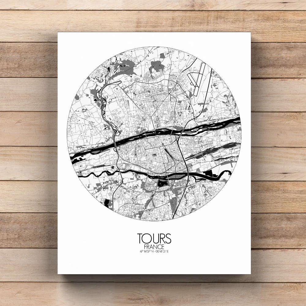

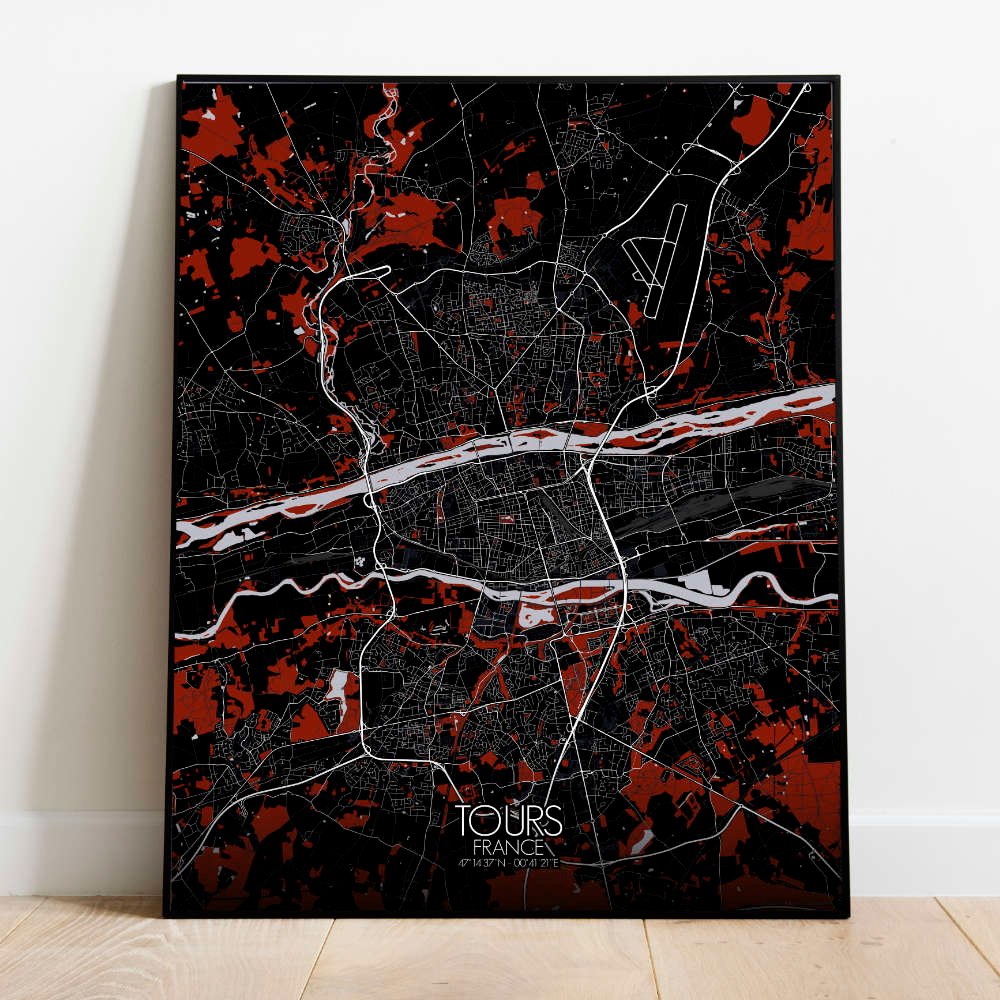
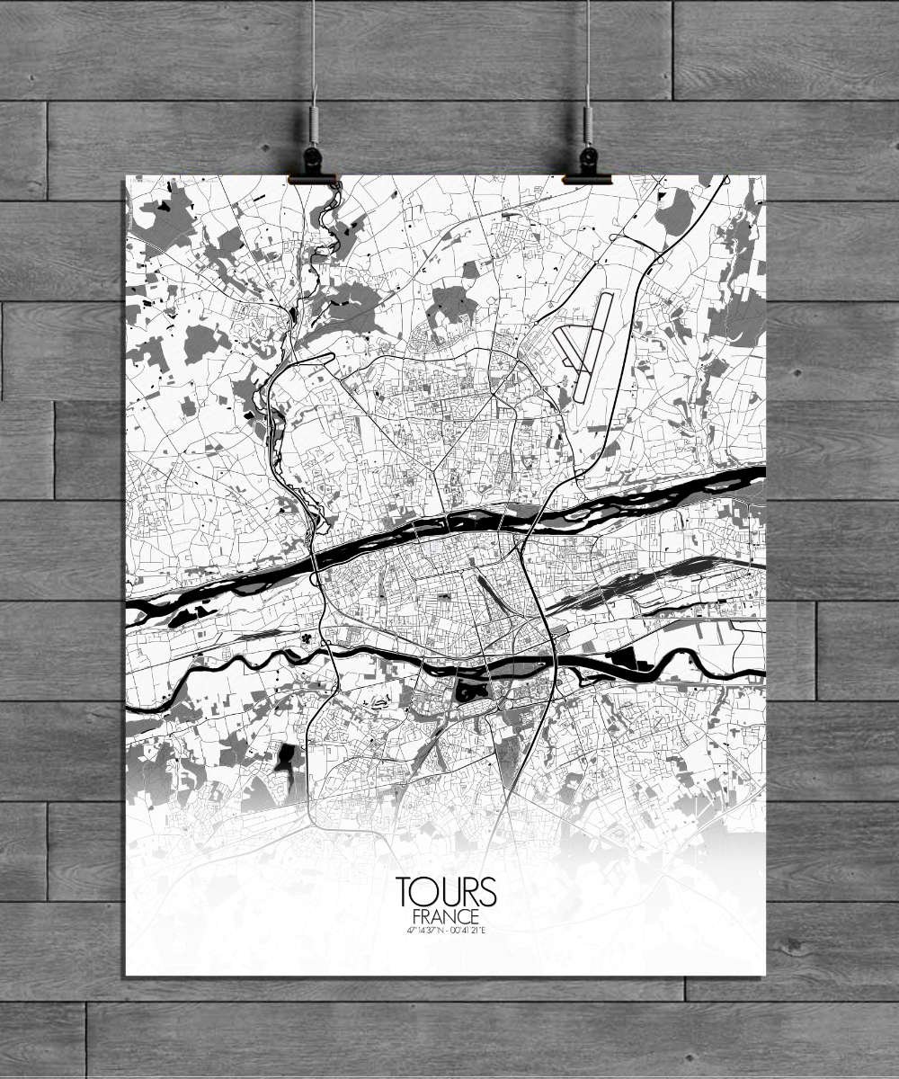
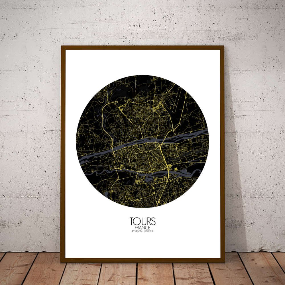

Poster City map of Tours, France: This map invites you to imagine the stories of knights, artists, and philosophers who have walked these streets.
The City map of Tours, France, offers a charming view of this historic gem nestled in the heart of the Loire Valley. Its winding streets, meandering along the banks of the Loire River, trace a city that has witnessed centuries of history, from medieval times to the Renaissance. The terrain is gently undulating, with subtle hills offering views of the river and the lush green patches that dot the landscape. Among the most delightful features is the green oasis of the Jardin des Prébendes d’Oé, where locals stroll under the shade of old trees, escaping the buzz of the city. The map also highlights the famous Place Plumereau, where half-timbered houses stand proudly, reminding us of the town’s old-world charm, while the imposing Cathédrale Saint-Gatien watches over it all like a silent guardian. As you trace the streets, you’ll encounter the grand presence of the Château de Tours, a fortress-turned-palace that has stories to tell from both royal courts and troubled times. The Loire River itself is a major character in the city’s life, winding through the map with its graceful curves, symbolizing both calm and adventure.