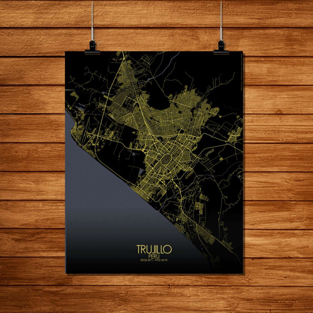
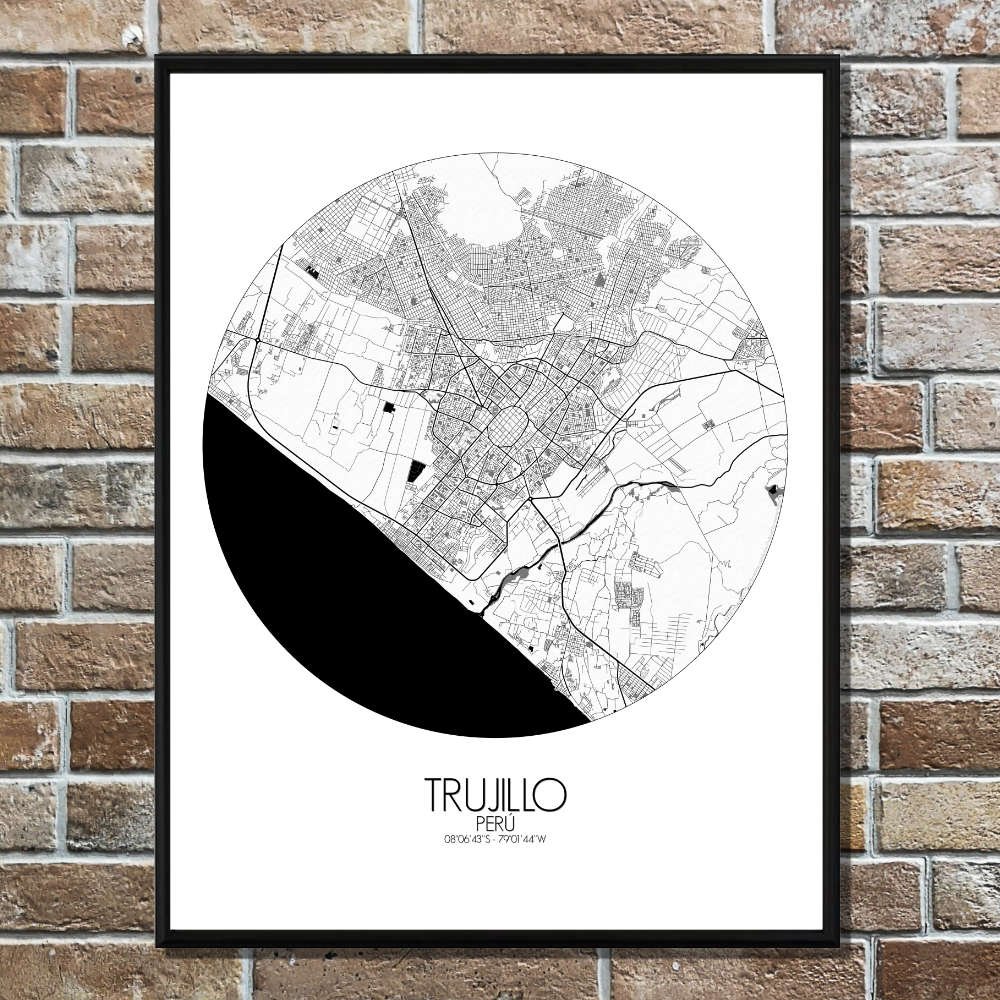
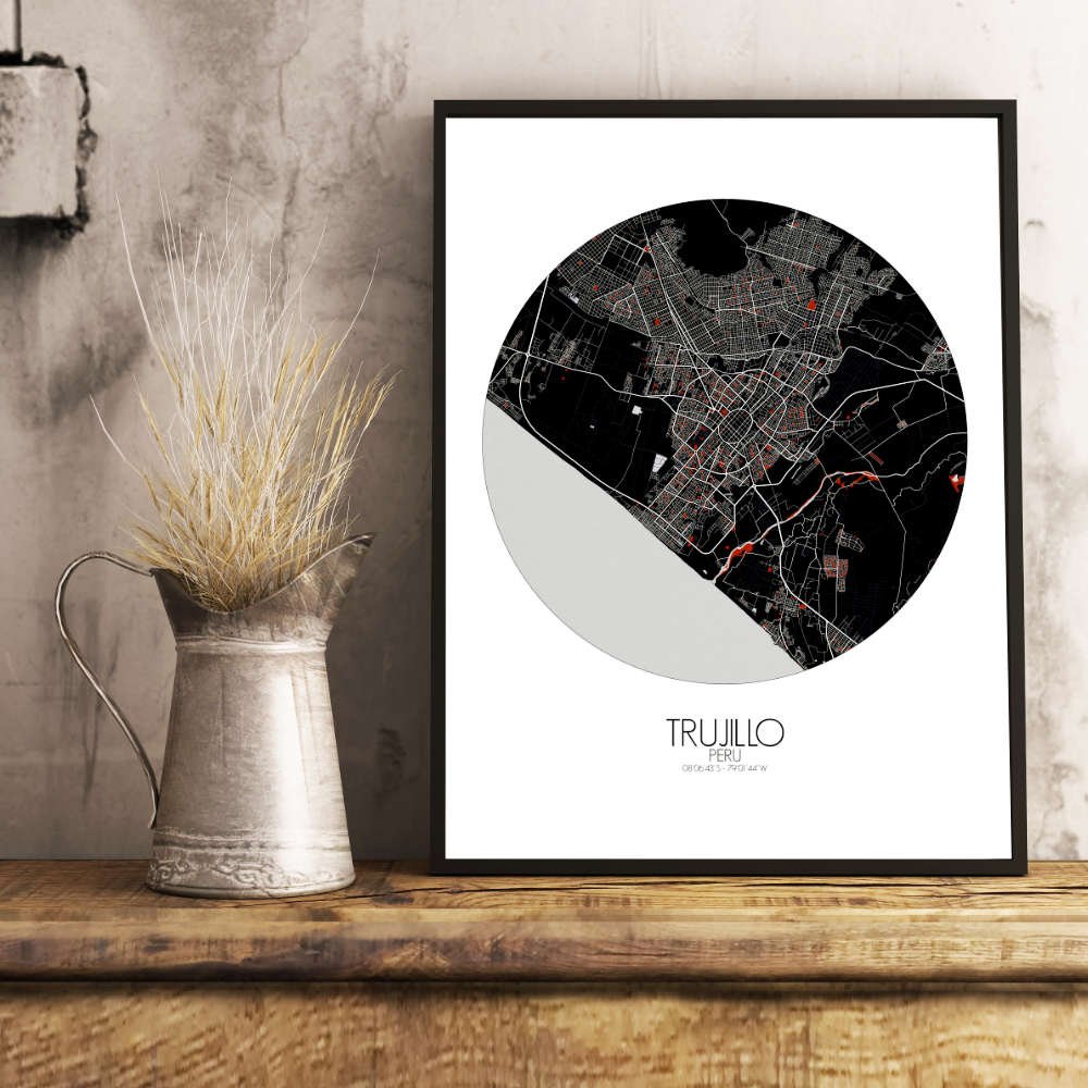
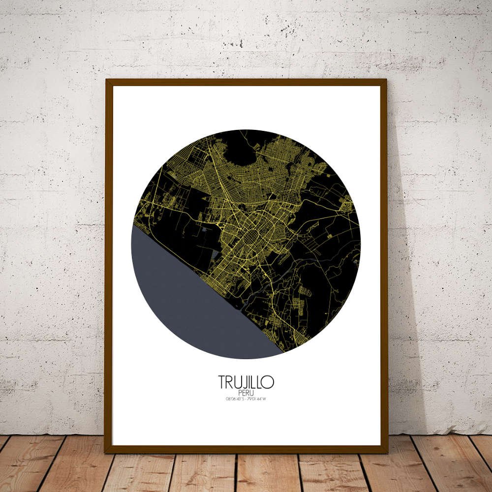
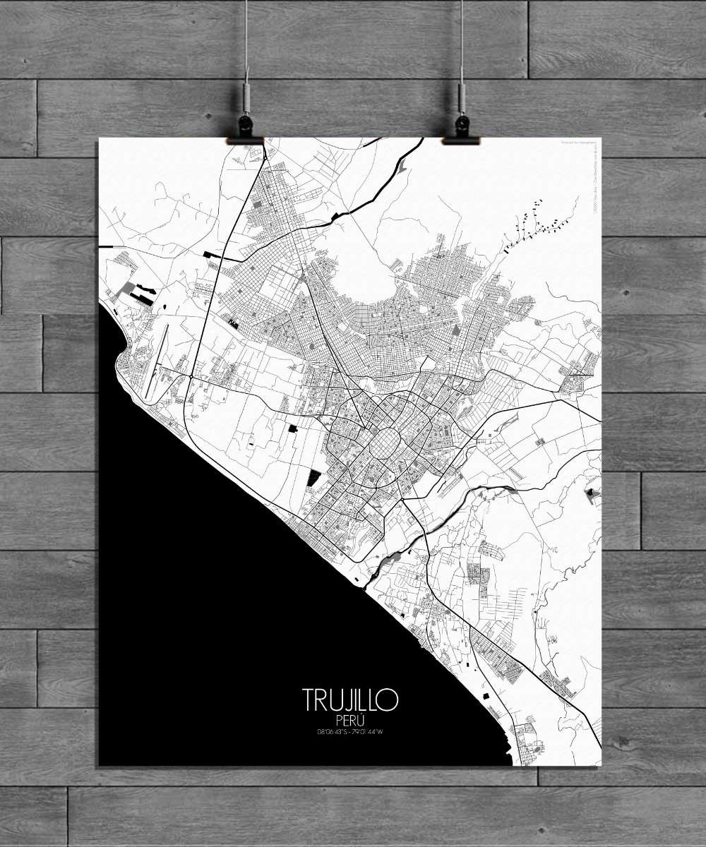
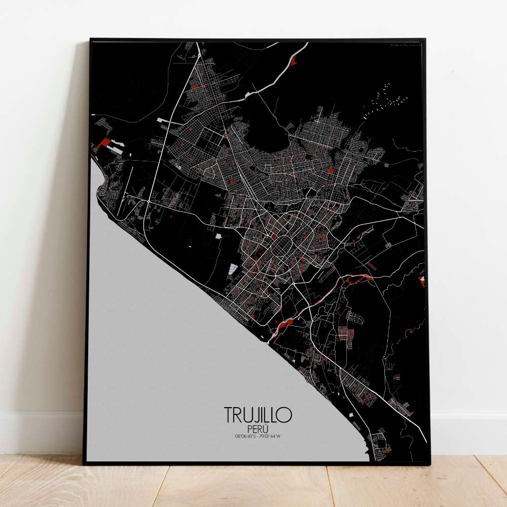

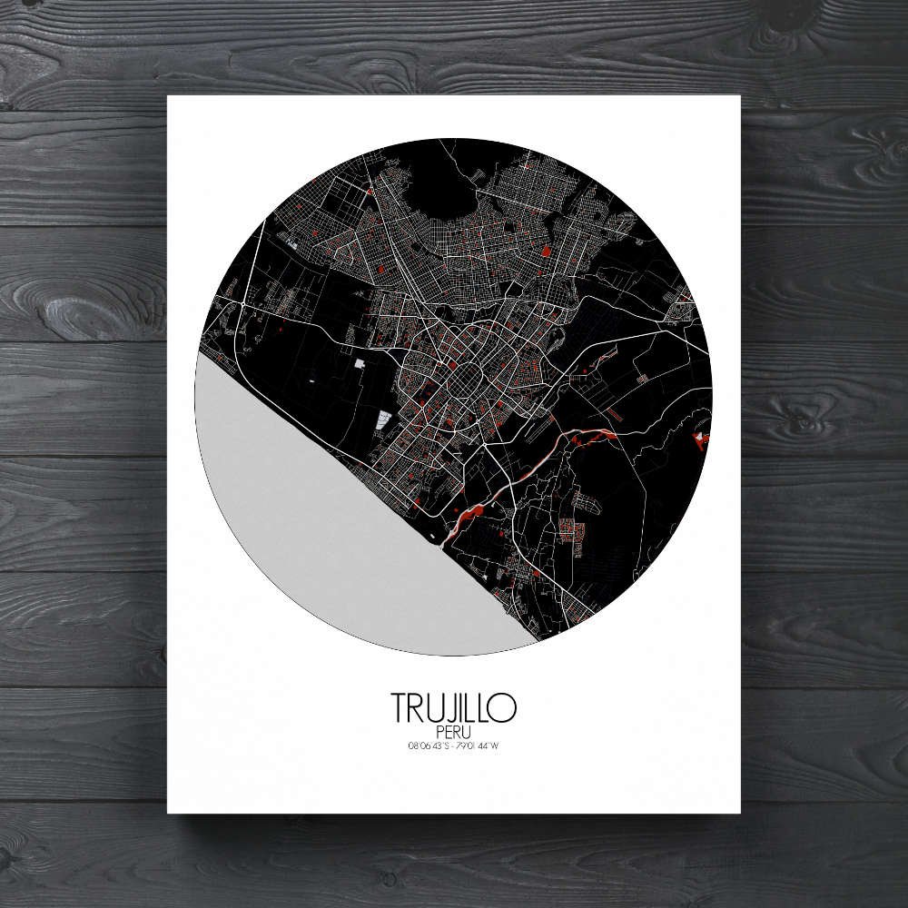
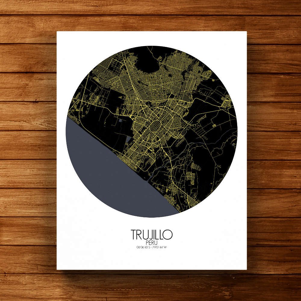
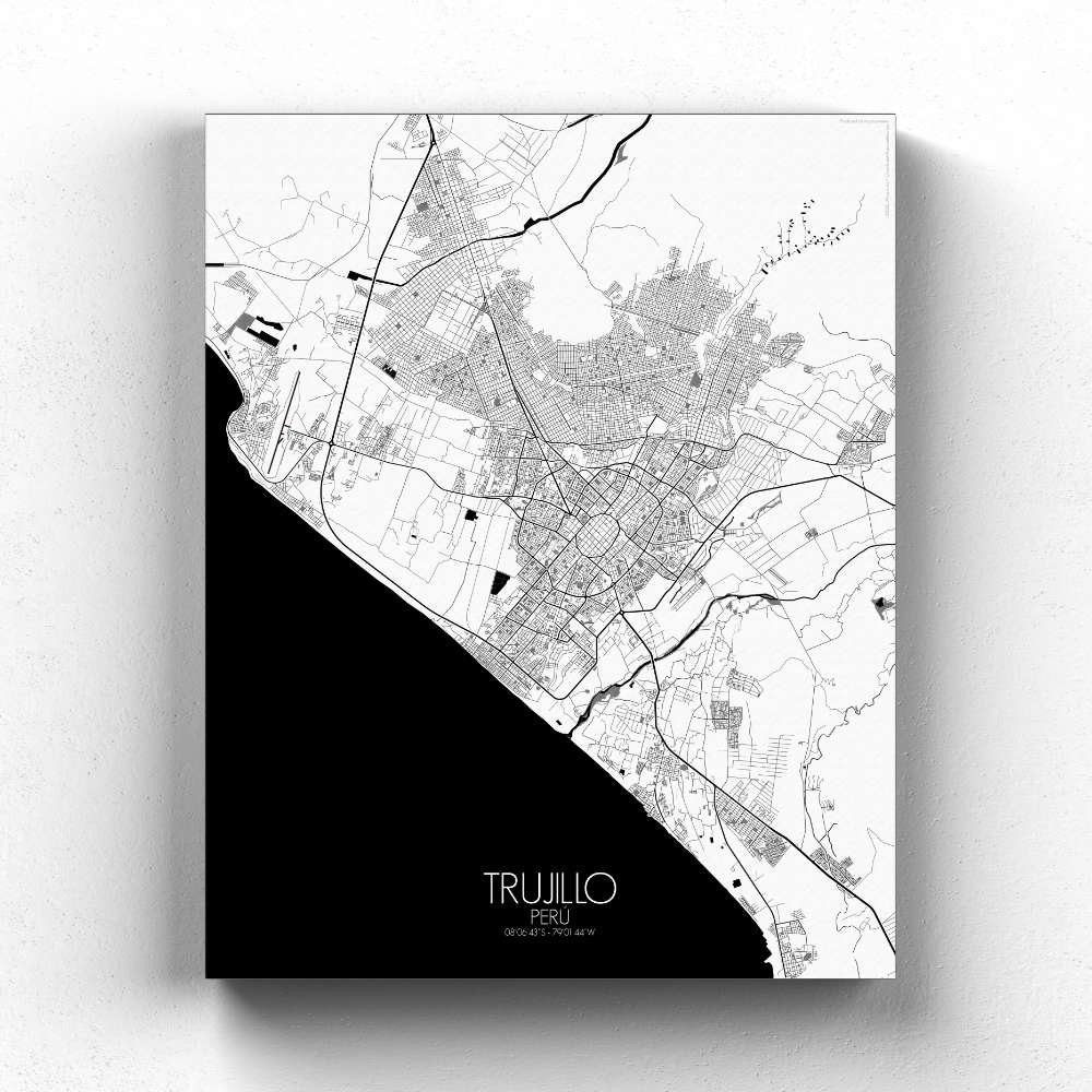
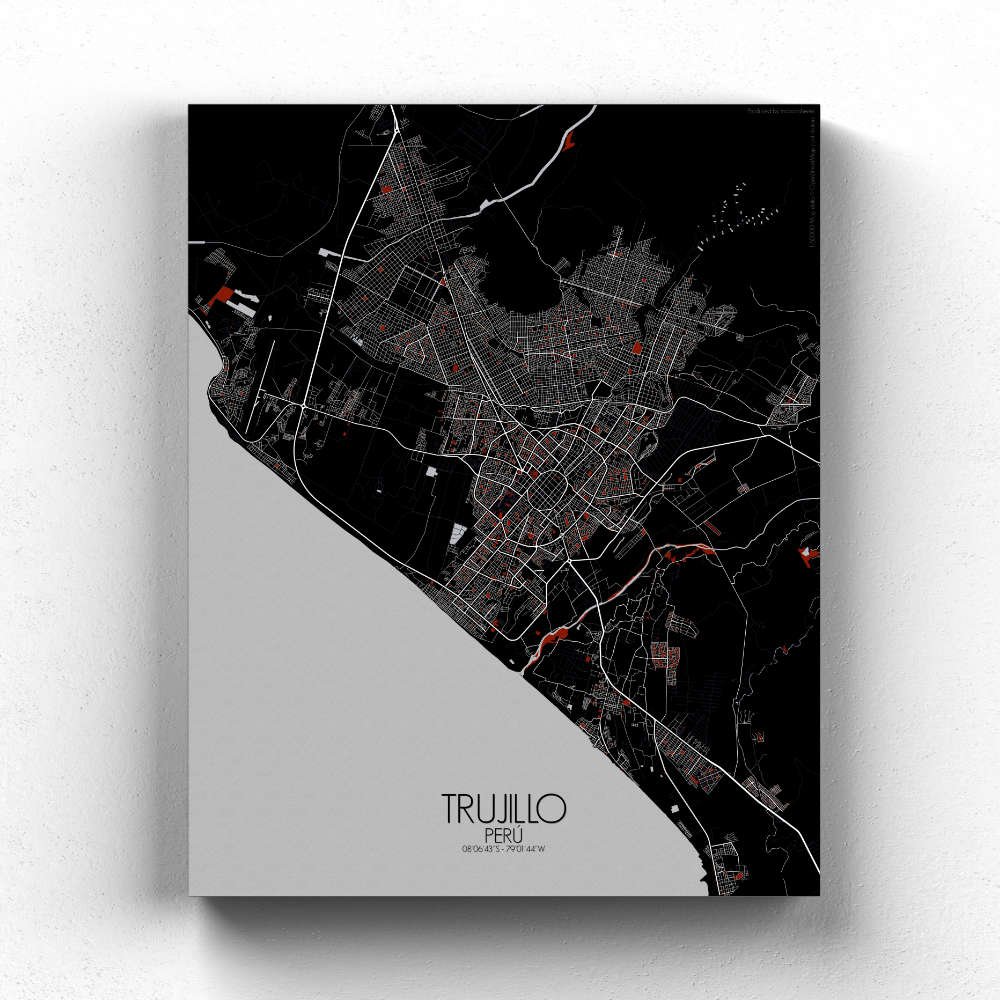
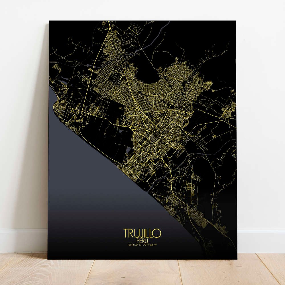
Poster City map of Trujillo, Peru: The coastal areas to the west are marked by miles of beaches, where the blue waters of the Pacific crash against the shore, offering a scenic contrast to the arid landscapes nearby.
Located just a few miles inland from the Pacific Ocean, Trujillo sits on the edge of a vast, fertile valley, where the countryside stretches out in all directions. The map highlights the city’s position between the ocean to the west and the Andean foothills to the east, with the Moche River flowing through its heart. These geographical features not only shape the city’s landscape but also its way of life, from agriculture to trade. At the center of the map lies the Plaza de Armas, the beating heart of Trujillo’s historic center. Surrounded by grand colonial buildings, this plaza has witnessed centuries of history, from Inca times to the Spanish conquest. The city’s colonial-era charm is captured in the way the streets curve and connect, creating a timeless layout that invites exploration. The nearby Parque Nacional de la Zona Arqueológica de Chan Chan offers a unique contrast, as it marks the site of the ancient capital of the Chimú civilization, one of the largest pre-Columbian cities in South America.
Get this Poster City Map print of Trujillo, Peru, as a wall map. You can select the size, color or pattern for your map !