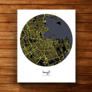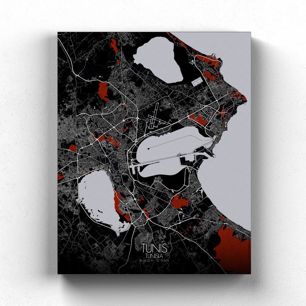

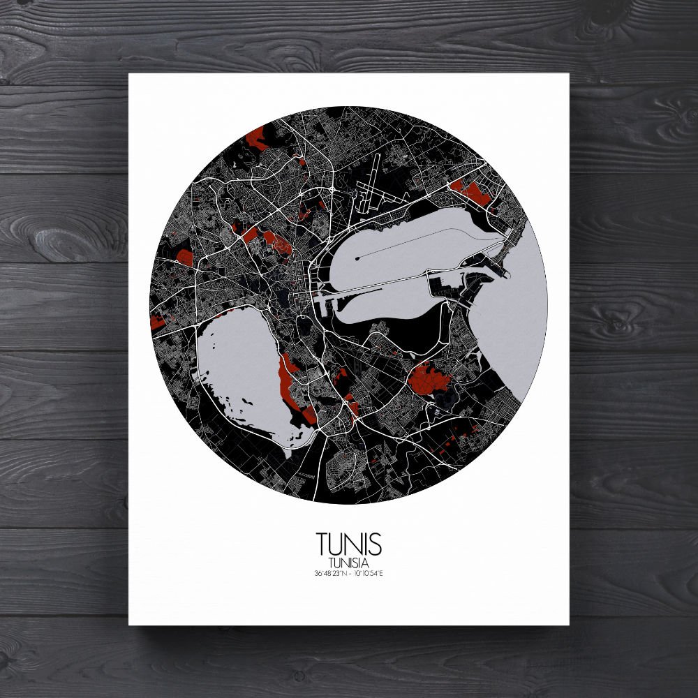


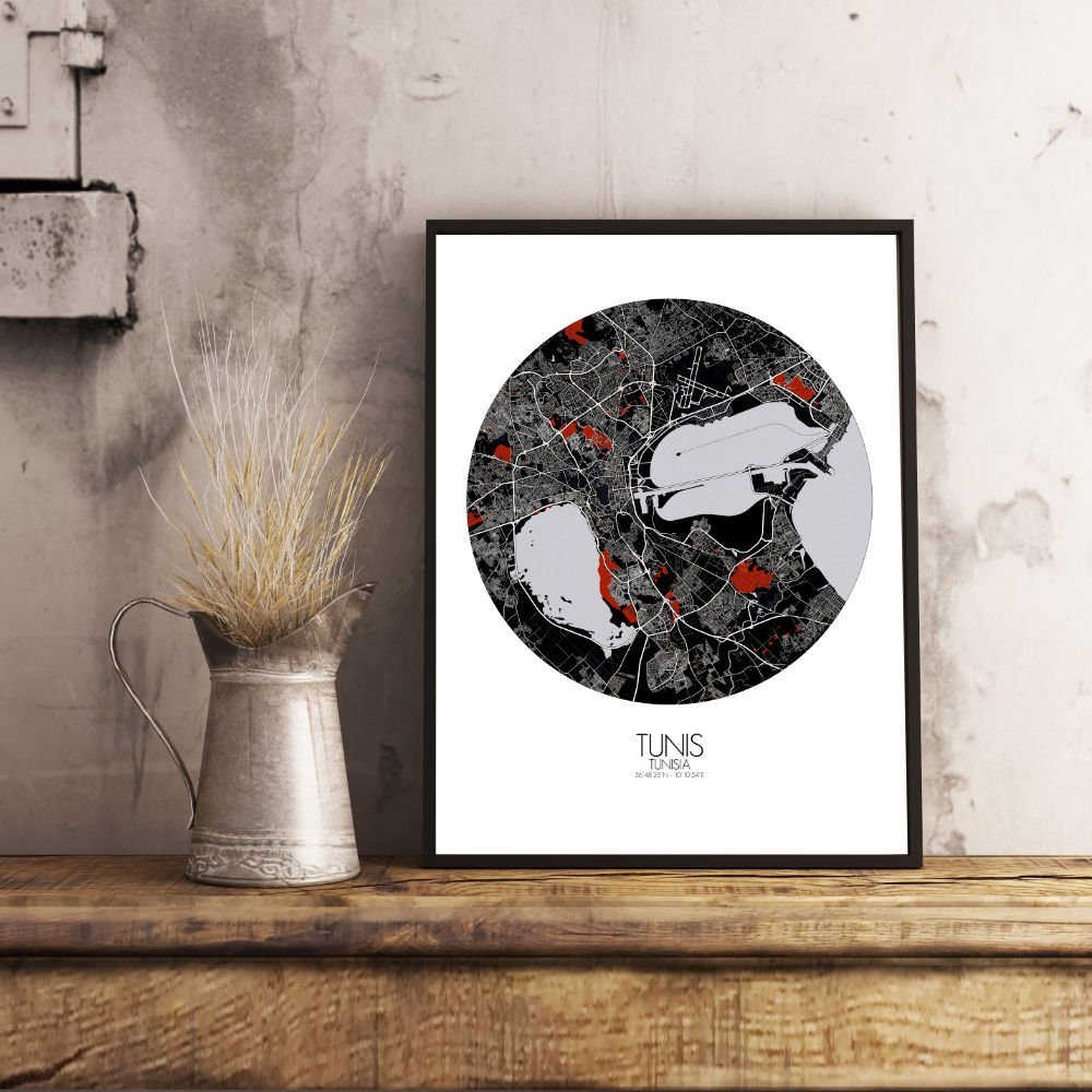


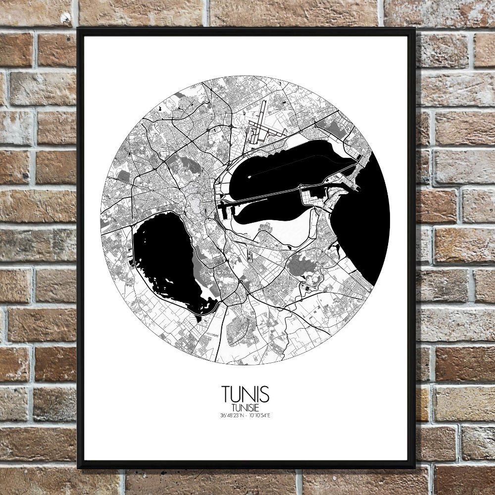
Poster City map of Tunis, Tunisia: This map of Tunis reveals a city with a rich history, where ancient Roman ruins blend seamlessly with modern life.
The city’s terrain is a beautiful mix of low hills and flat coastal plains, with the lush greens of nearby parks and the famous Belvédère Hill offering breathtaking views over the city and the sea. From this hill, one can almost imagine the days when the Phoenicians, then Romans, looked out over the same expanse, pondering their next great adventure. As you trace the map, you’ll notice the winding streets of the Medina, the heart of Tunis, where the past is still alive in the form of narrow alleys, bustling souks, and centuries-old mosques. The city is also home to several greenspaces that provide a peaceful escape from the urban hum. The city’s namesake, the Jardin de l’Université de Tunis, for example, offers shaded pathways where one can sit and ponder—perhaps in a moment of quiet reflection, as one might have done for generations. The map also highlights the city’s grand boulevards and wide avenues, like the Avenue Habib Bourguiba, lined with cafes and shops, offering a taste of both modern Tunisian culture and its colonial history. You can almost hear the laughter of locals and the clink of coffee cups, blending the present with echoes of the past. Not to be overlooked, the city’s proximity to the Mediterranean Sea gives Tunis its unique edge. The port area and nearby La Goulette offer a gateway to the sea, once a major trade route for empires, now a place for locals to enjoy fresh seafood and stroll along the water. The ruins of Carthage, a short distance from the city, remind us of the grandeur of an ancient civilization that once ruled the Mediterranean.