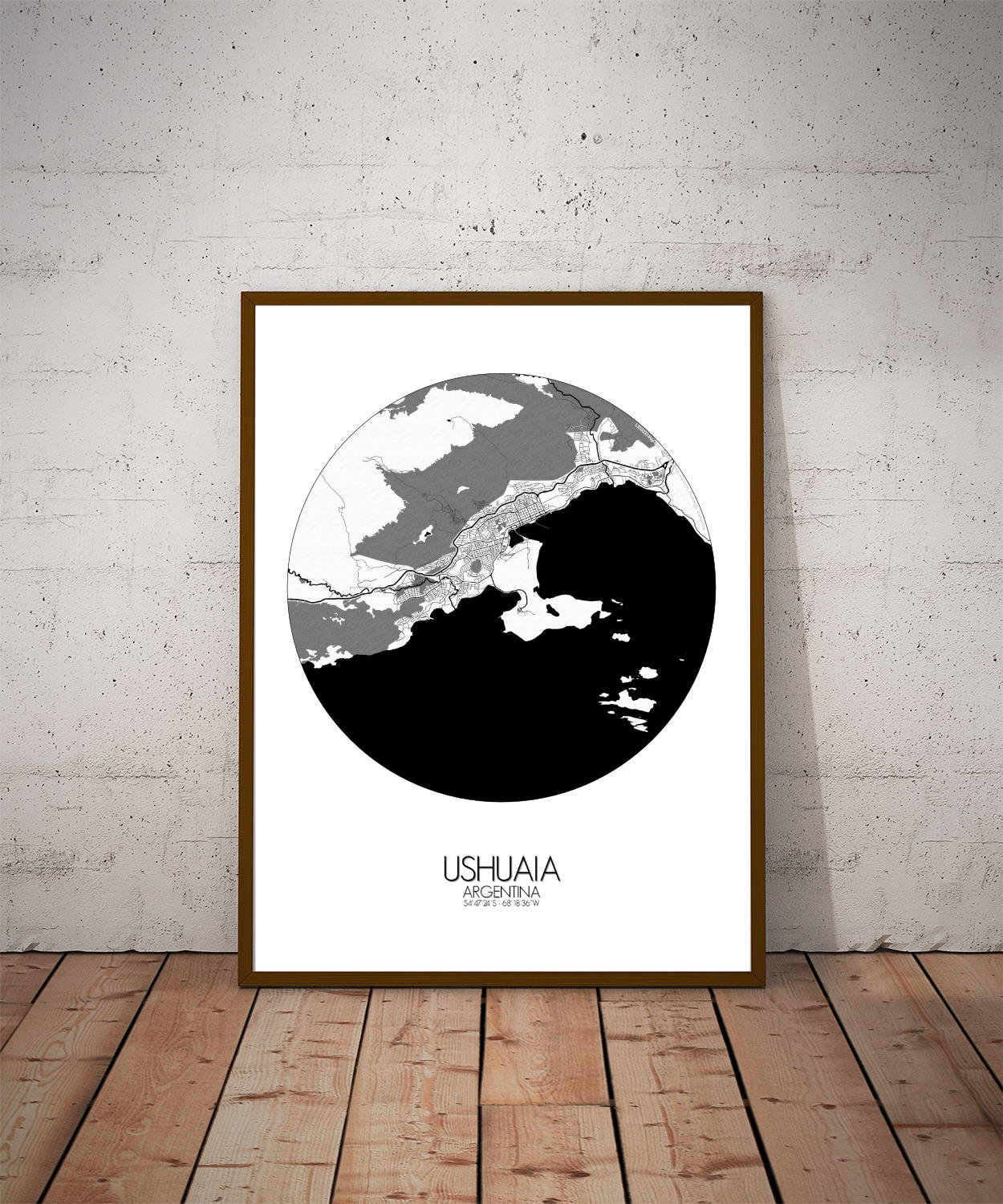
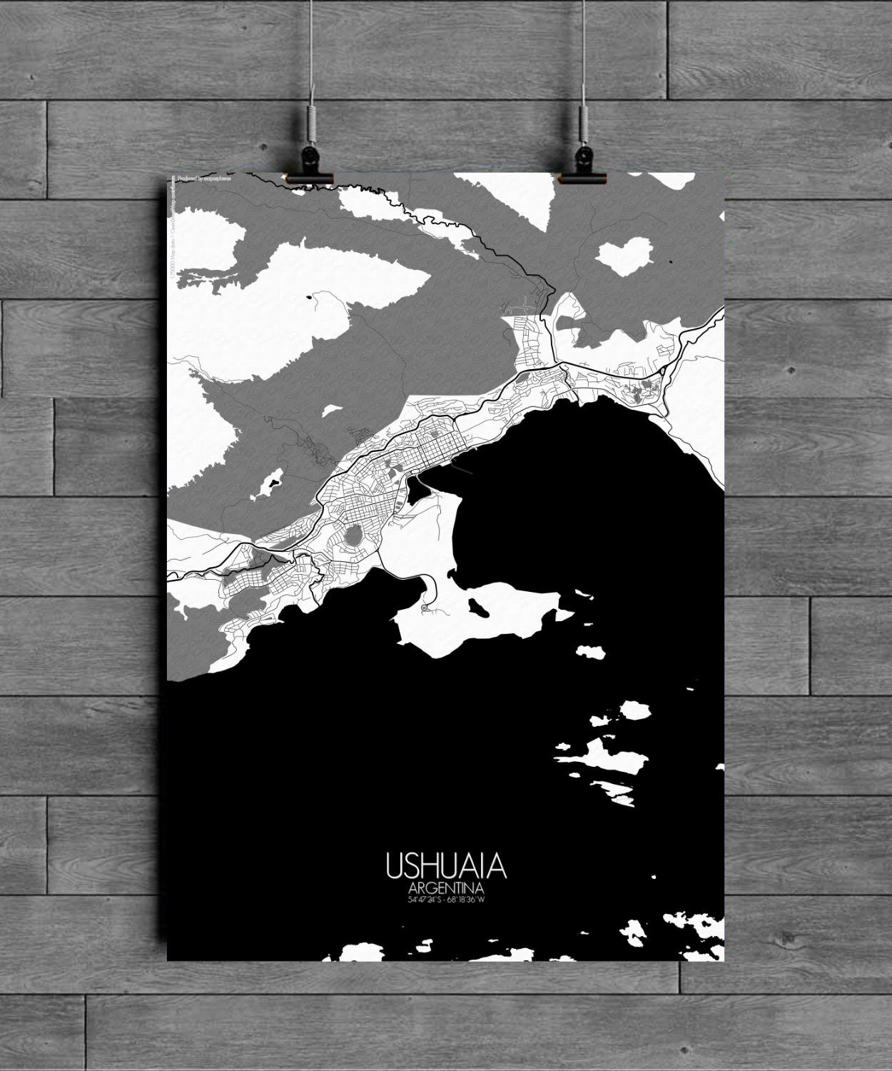
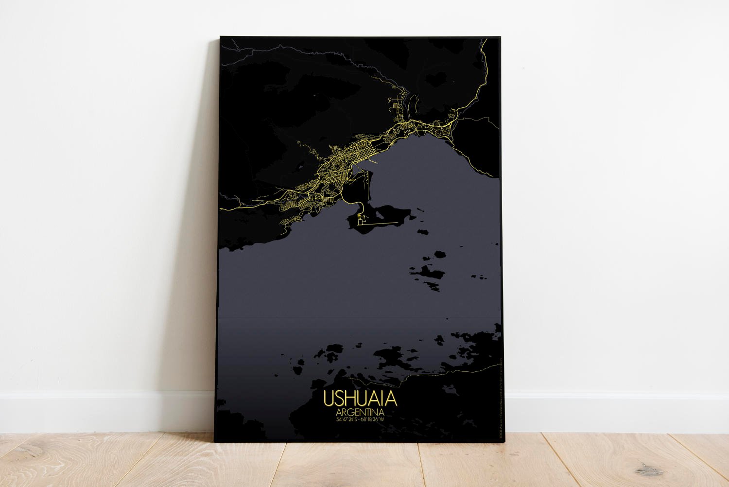
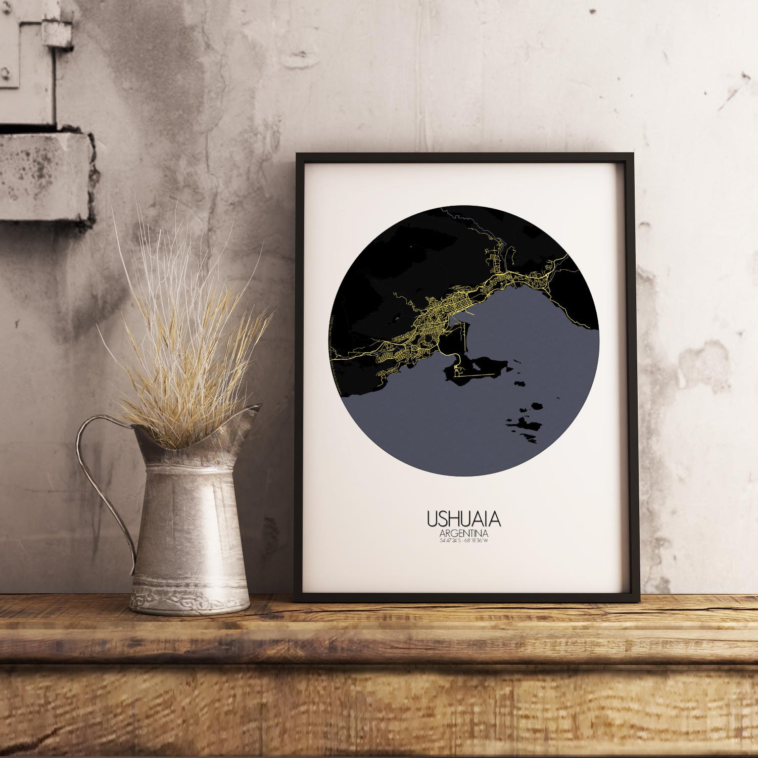
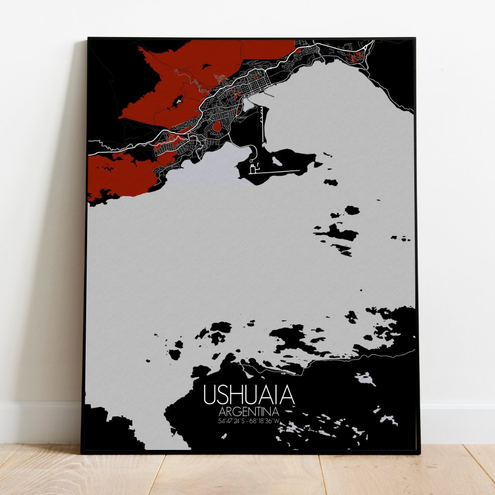
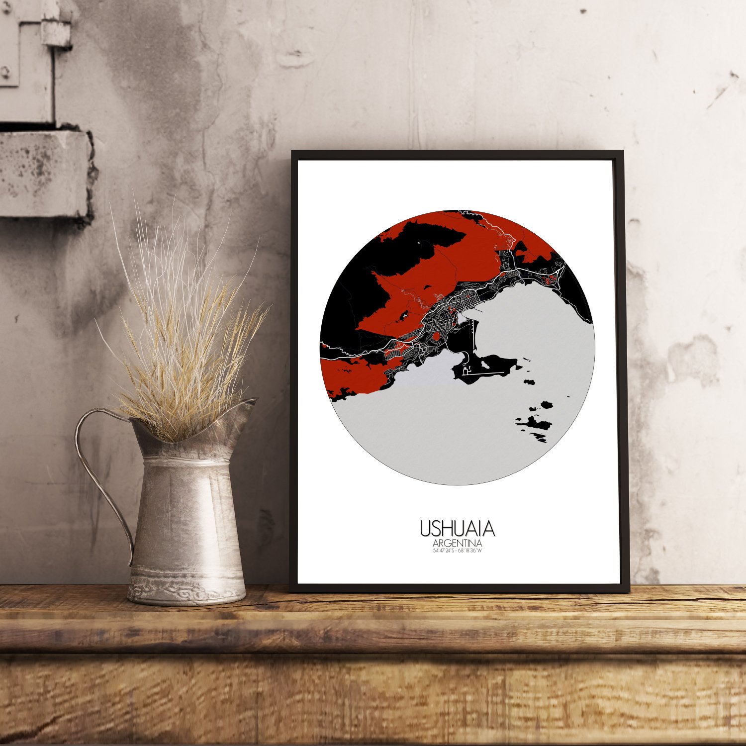
Poster City map of Ushuaia, Argentina: At the very edge of the world where the mountains lean into the sea and the wind always seems to know your name…
Ushuaia rests between sharp peaks and deep waters with quiet determination. This map brings the southernmost city on Earth into clear view, showing every fold of land, every curve of coastline, and the rugged beauty that defines life so far south. Tierra del Fuego’s jagged mountain spine rises steeply just behind the city, casting long shadows over rooftops and reminding everyone that nature came first, and still rules here. The Martial Range, forever watching from above, gives the map its dramatic topography—steep lines, bold textures, and a sense of altitude even on paper. Below, the Beagle Channel hugs the coast, calm-looking on the map, though sailors know better. Green spreads across the hills and valleys—wild parks, mossy forests, and wind-swept trails. The Tierra del Fuego National Park spills over the map’s edge to the west, a place where beavers build dams and hikers lose time. Near the city center, the old prison-turned-museum still stands, perhaps regretting some life choices, while the port remains busy with ships chasing penguins, icebergs, and adventure. More than just a decoration, this map is a quiet tribute to a city that balances on the edge of the world with both grit and grace. Hang it up, and let your wall tell a story of mountains, legends, and the stubborn charm of the far south—where the road ends, and the real journey begins.