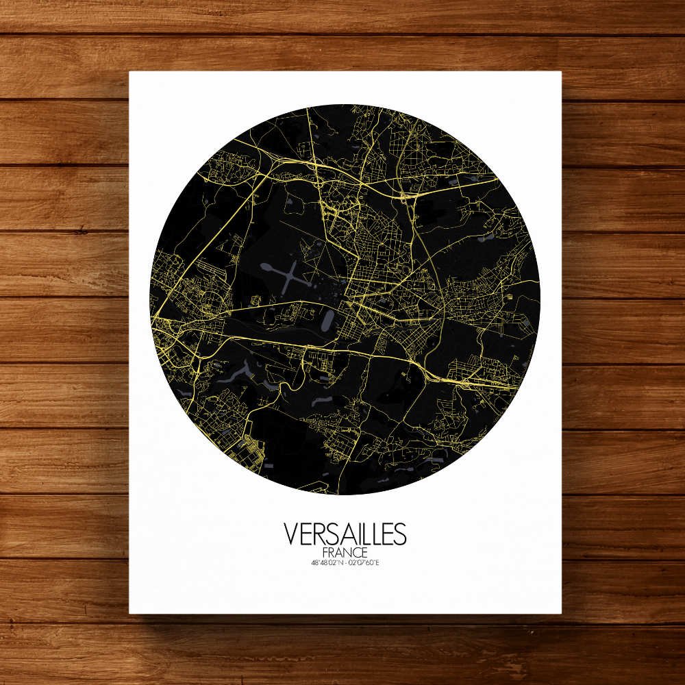
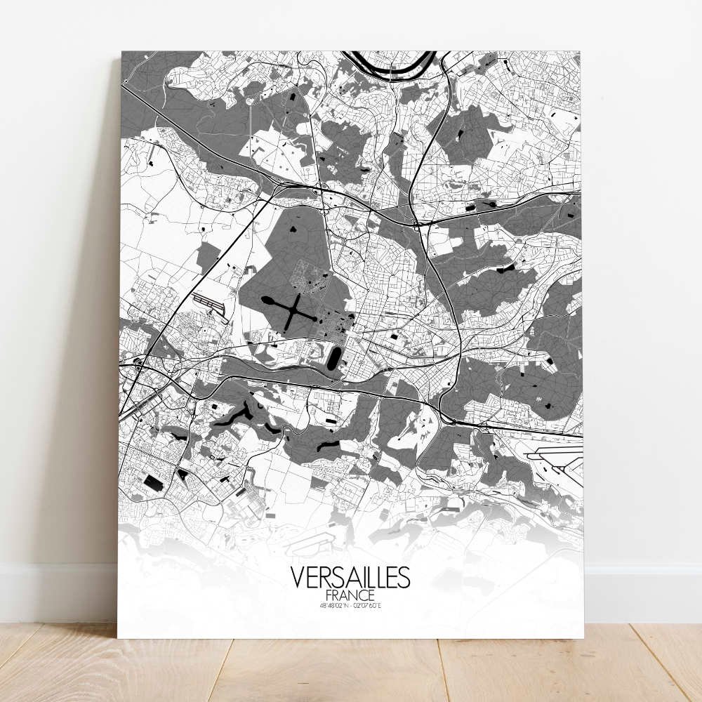
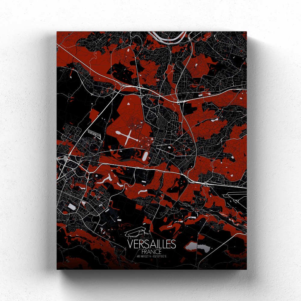
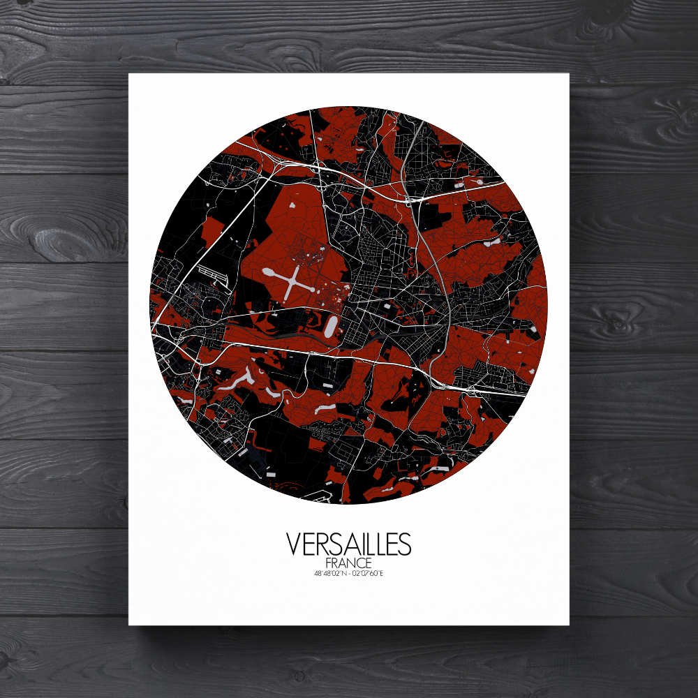
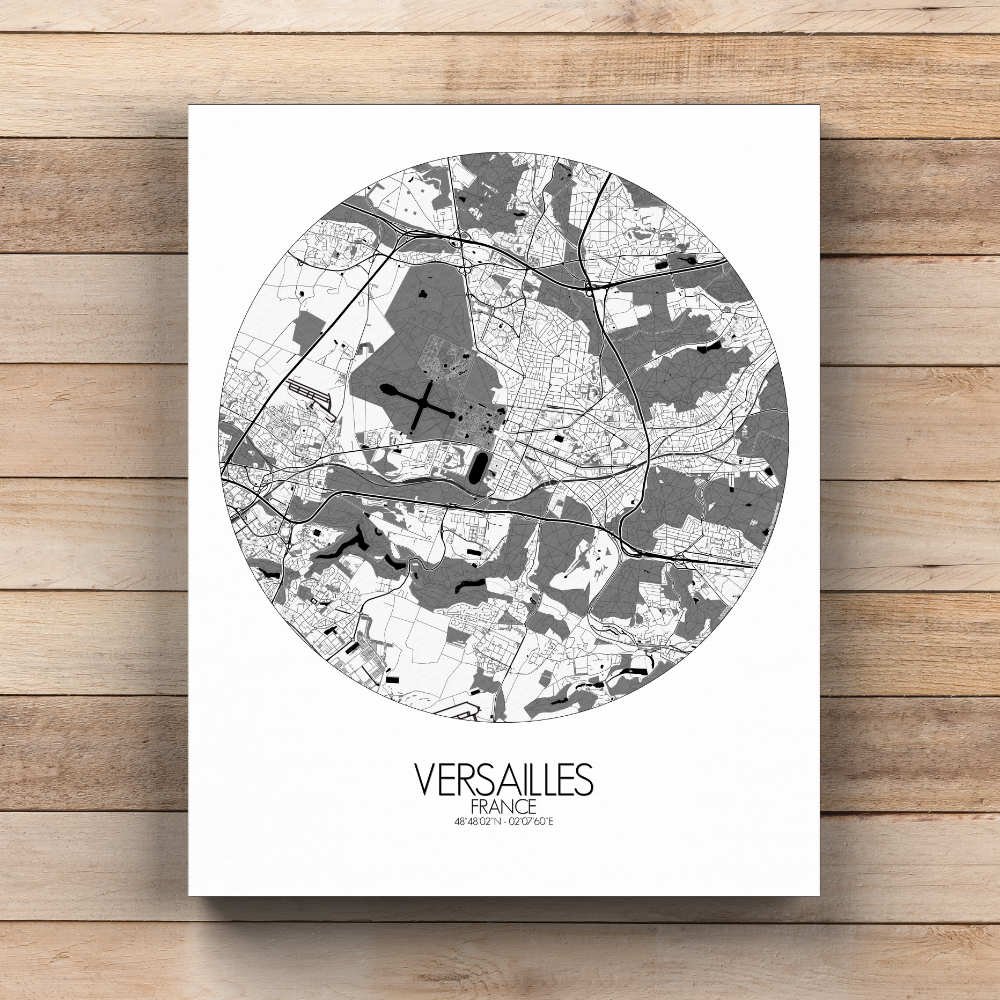
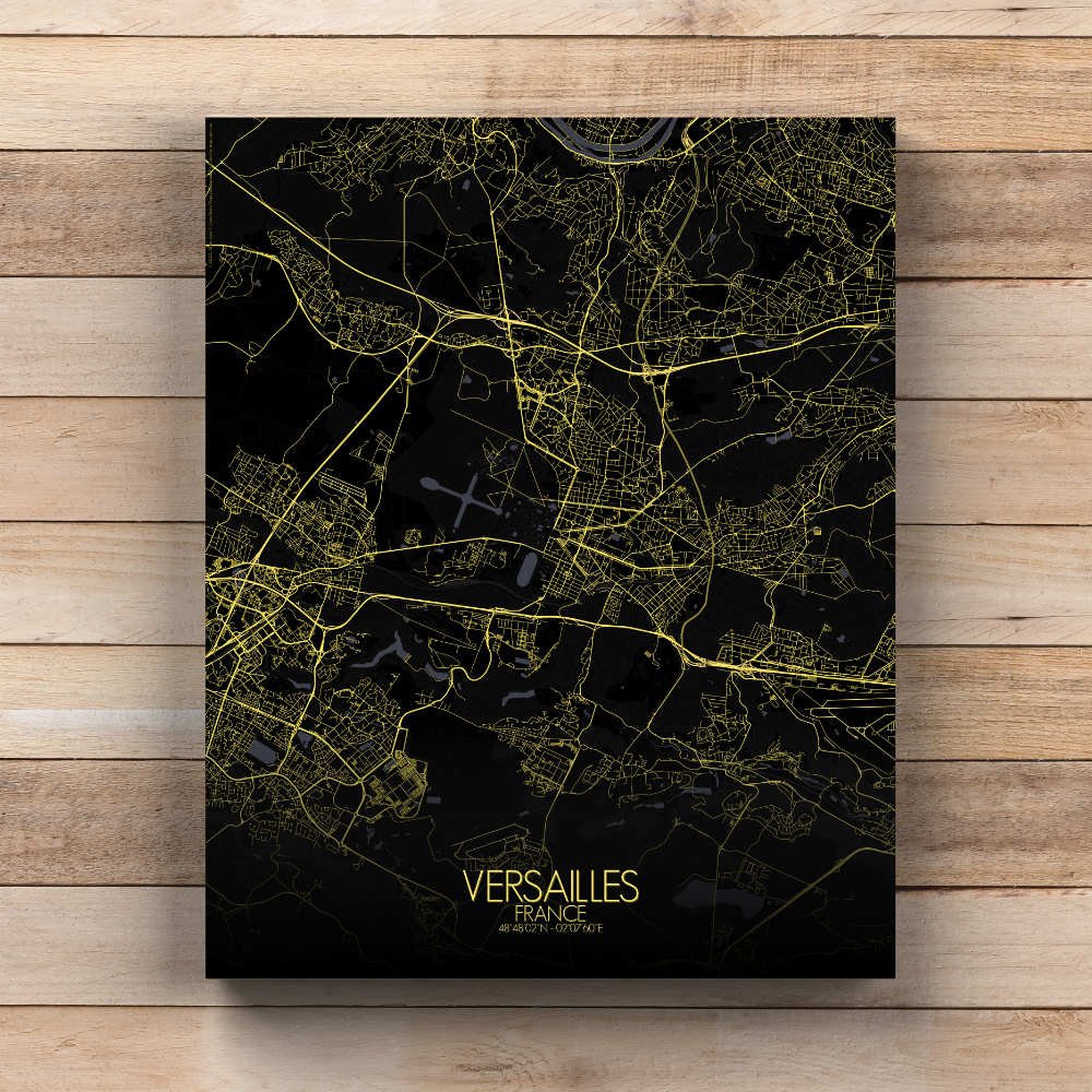
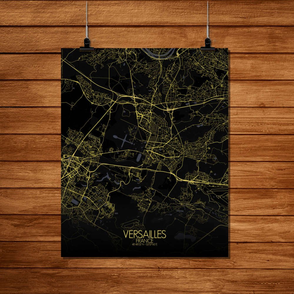
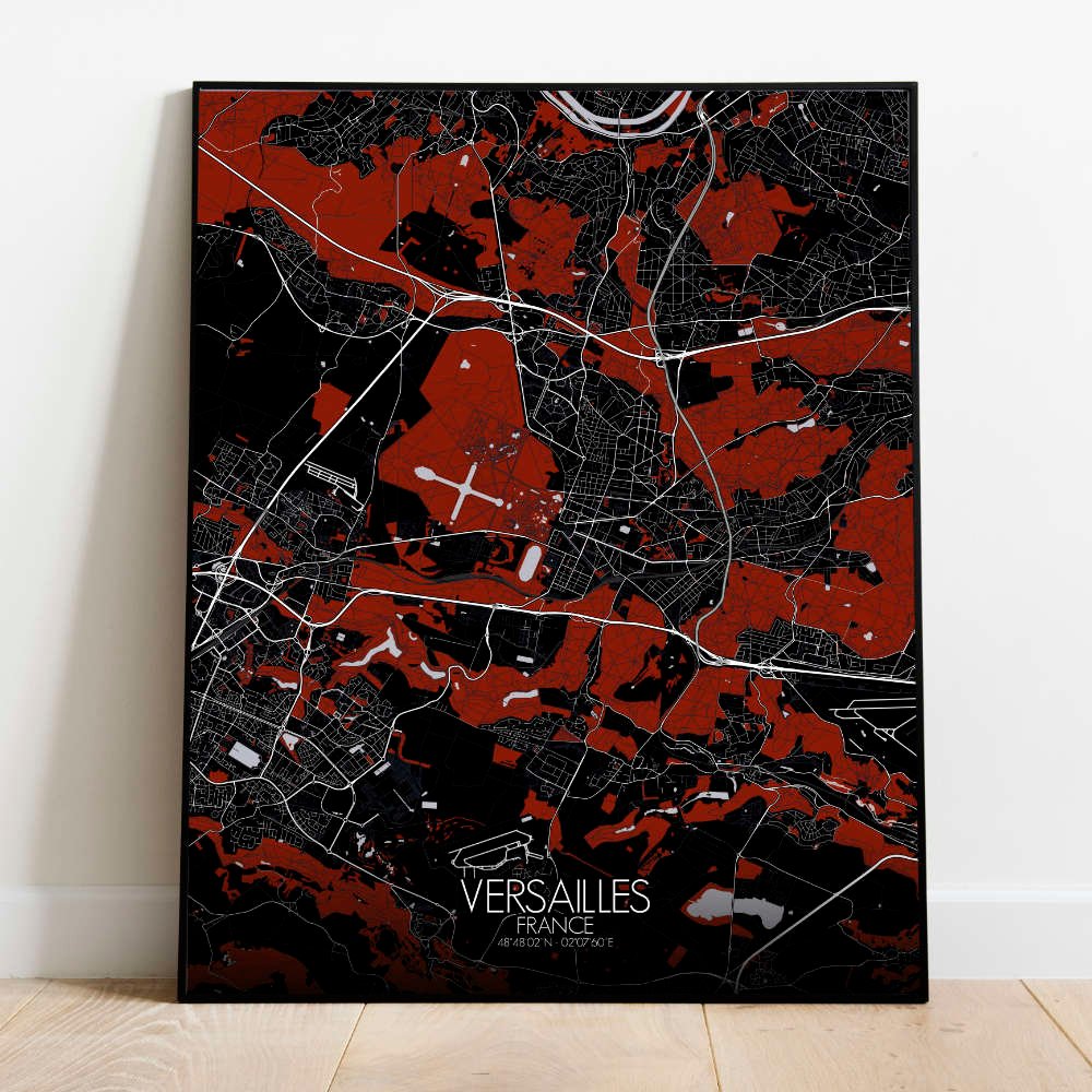
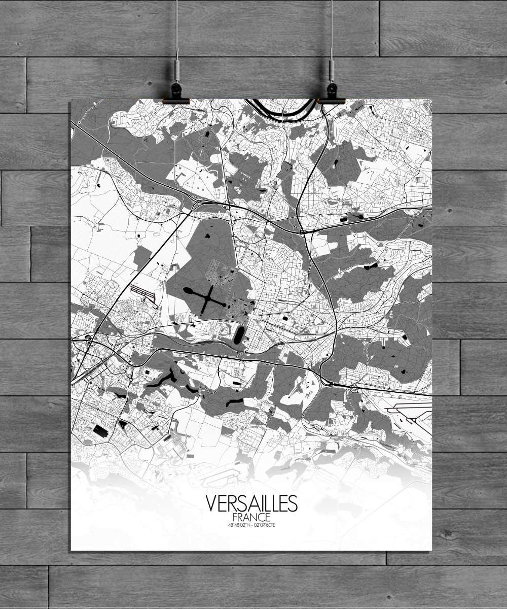
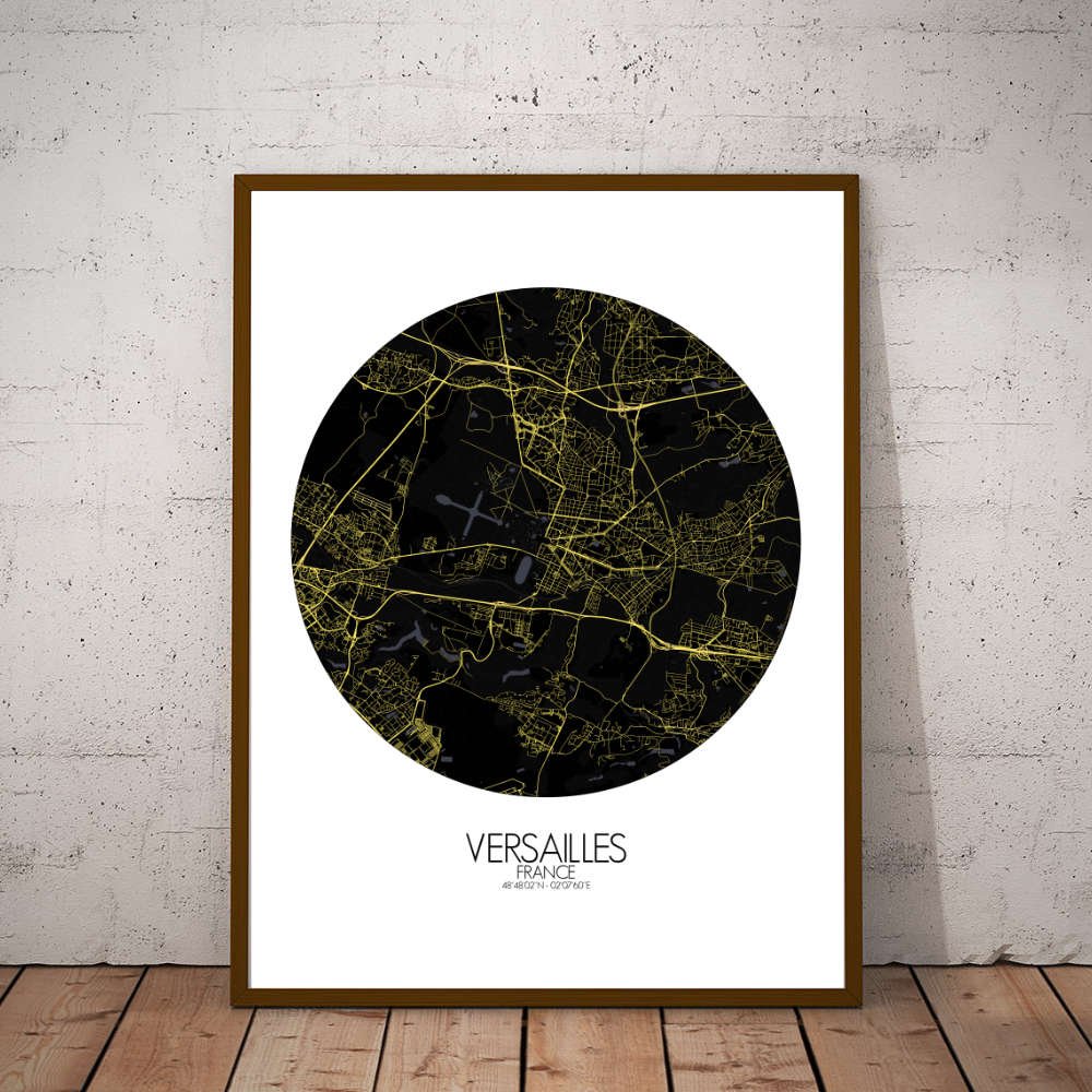
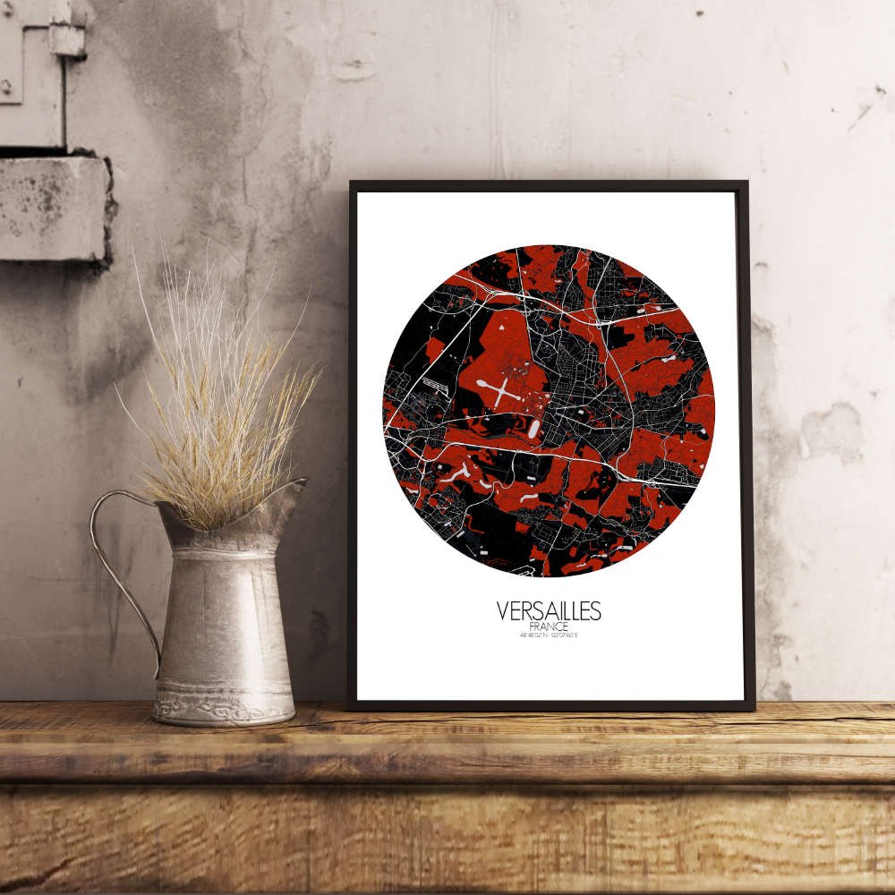
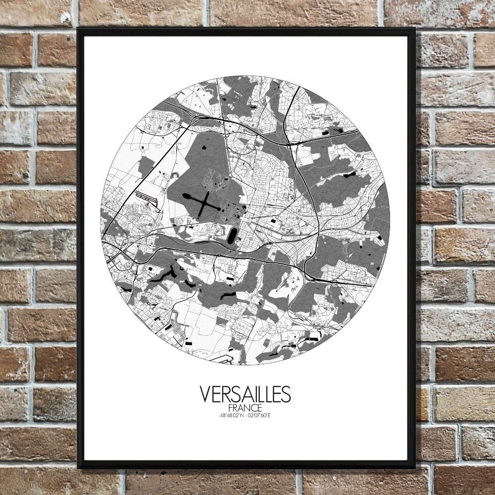
Poster City map of Versailles, France: The city that became a symbol of royal grandeur
Located just outside of Paris, the city is a blend of majestic landscapes and royal ambition. The map highlights the city’s layout, framed by the vast green expanse of the Parc de Versailles, which stretches from the heart of the city all the way to the gates of the legendary Château de Versailles. This enormous park, designed by the famous landscaper André Le Nôtre, is one of the most magnificent green spaces in France. Its geometric beauty, with manicured lawns, canals, and fountains, is a stark contrast to the surrounding urban areas, making the map a unique blend of nature and artifice. The terrain of Versailles is relatively flat, but the city’s elevation, just above the surrounding plain, offers sweeping views of the surrounding countryside. This slight rise in the land was once chosen by Louis XIV himself, giving him a clear view of his kingdom, a fitting perch for the Sun King to look down upon his realm. The map allows you to trace the flow of the Rivière de Versailles, which winds its way through the park and through the grounds of the palace, creating an oasis of calm. The Château, with its ornate gardens and impressive architecture, is not only a historical treasure but also a visual masterpiece. The map outlines the symmetrical beauty of the palace’s grounds, showing how every corner of the park, from the grand alleys to the intimate groves, was meticulously planned to reflect the wealth and power of the French monarchy.