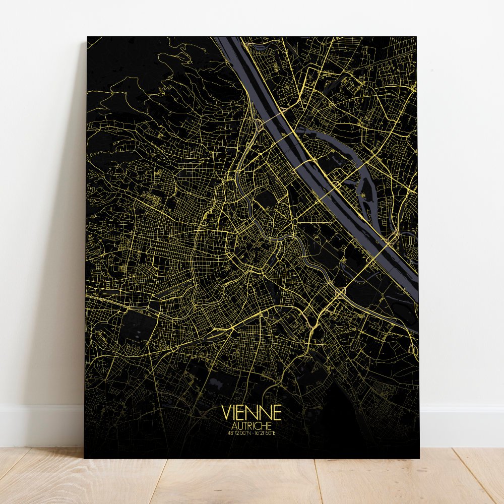
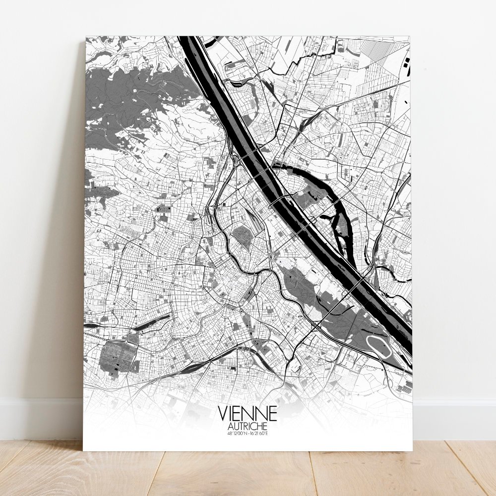
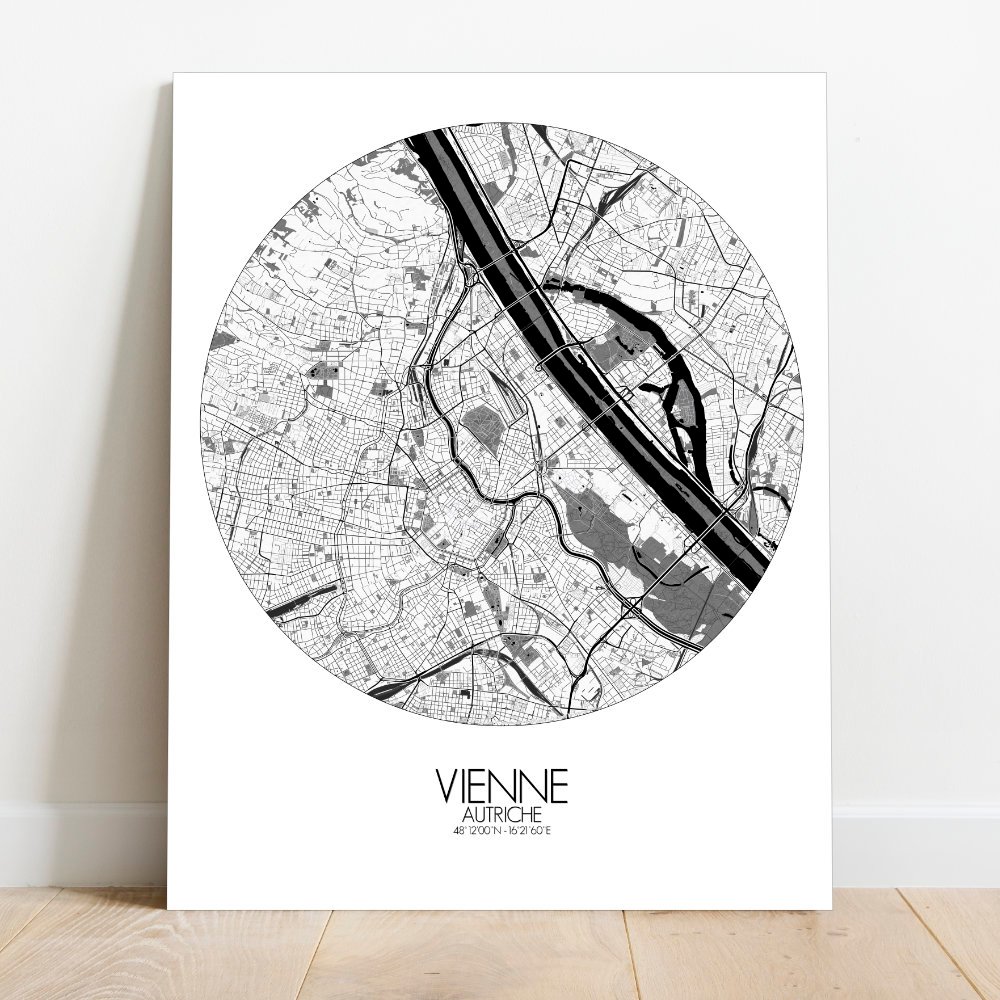
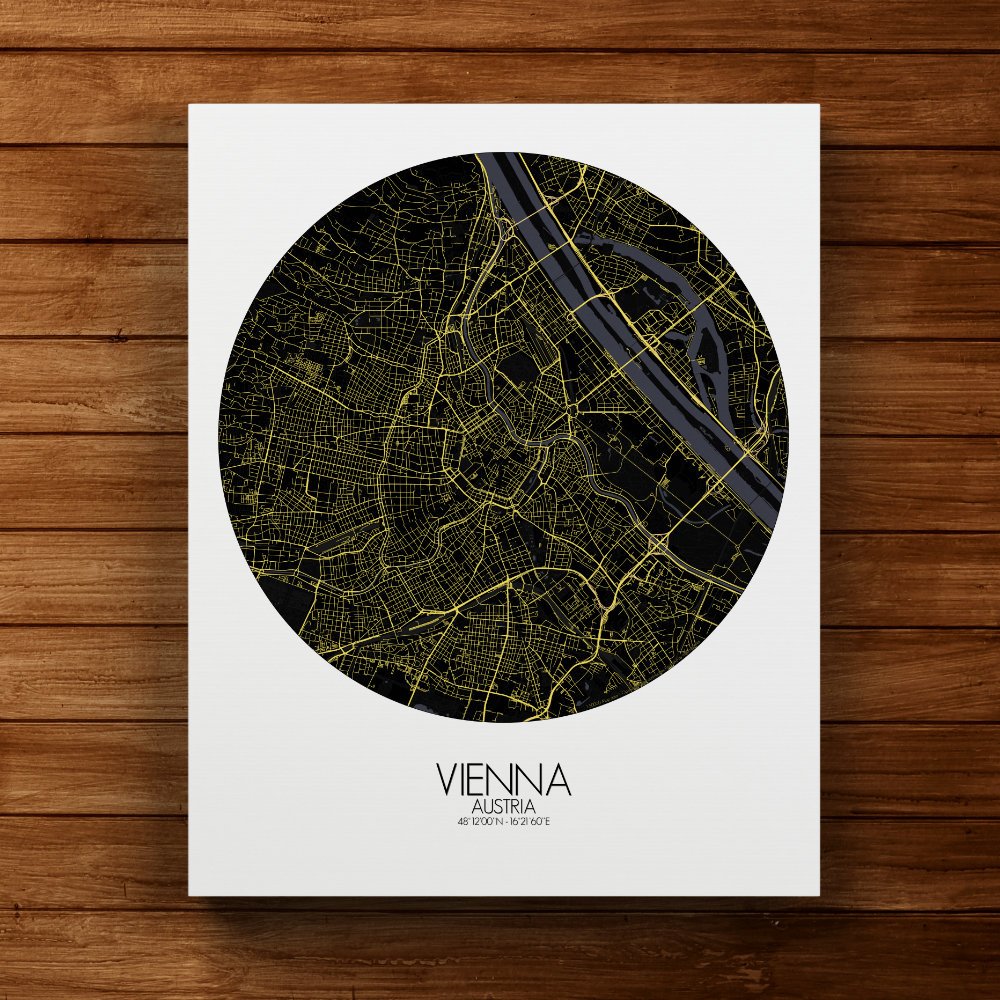
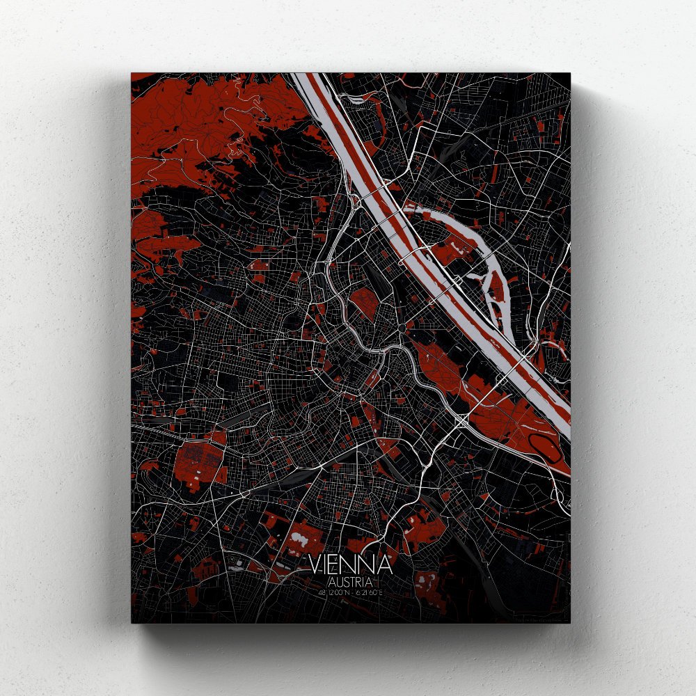
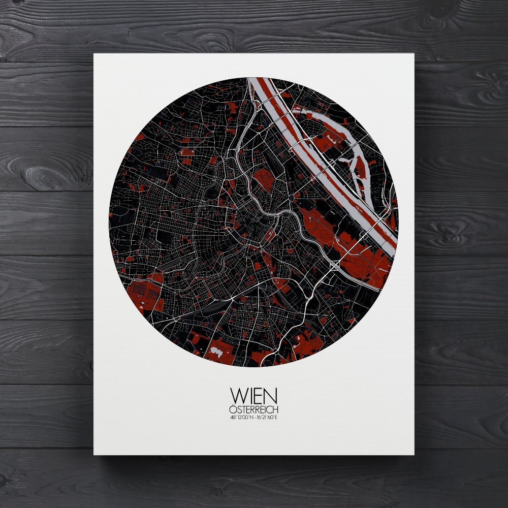
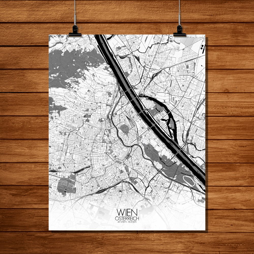
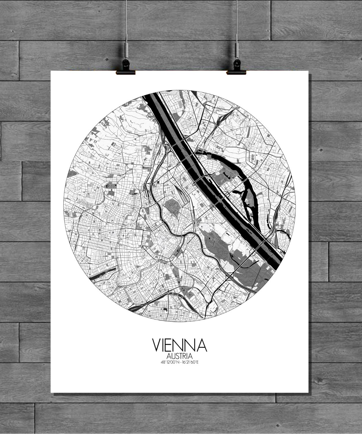
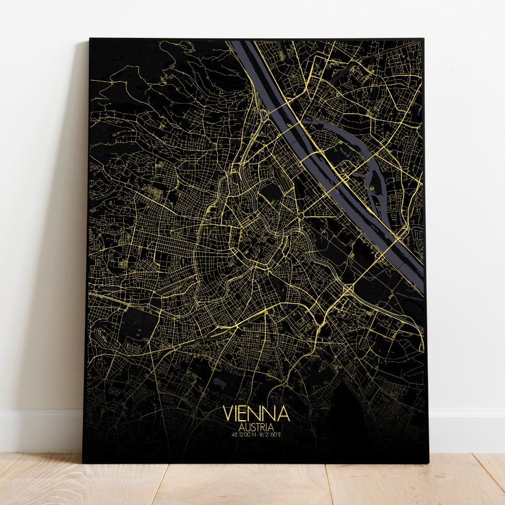
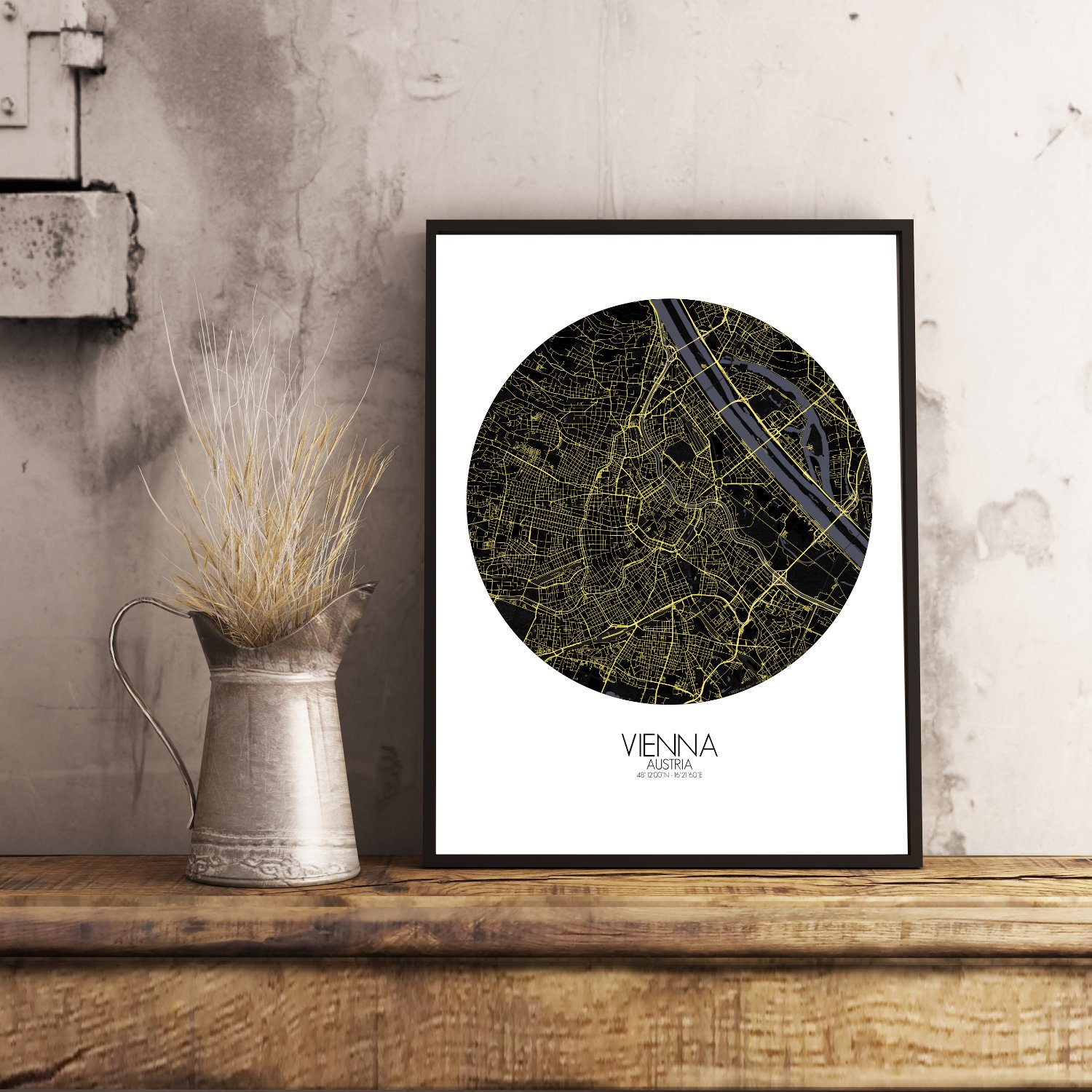
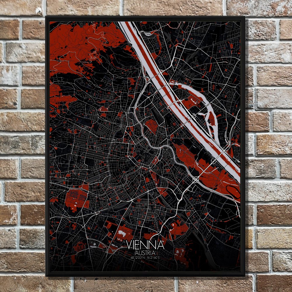
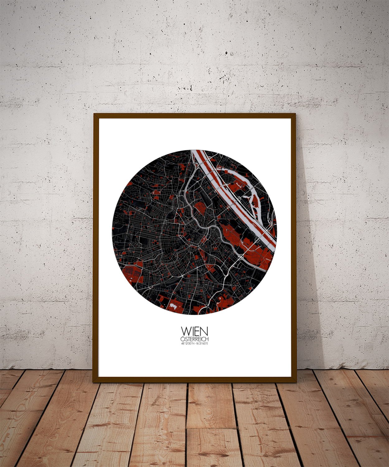
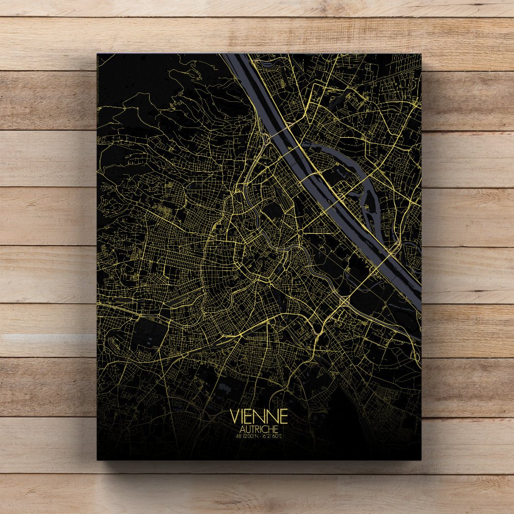
Poster City map of Vienna, Austria:The old soul of Europe wrapped in Baroque curves and green belts.
This city map whispers of emperors and waltzes, but it also shows the land beneath the elegance. The map draws your eye first to the winding ribbon of the Danube, that steady old river which has carried stories and songs through the centuries. Like a thoughtful guest, it doesn’t barge into the city center, but skirts gently past it, offering life and trade without getting in the way. To the west, the Vienna Woods rise like a faded memory of the Alps, their soft hills forming a natural backdrop and a playground for deer, poets, and Sunday walkers. These wooded heights frame the city with calm, their terrain giving the map a textured grace. Down below, Vienna unfolds in layers — an orderly tangle of boulevards, parks, and rooftops — with the grand Ringstrasse looping like a lasso of history around the old city heart. Greenspaces are not scattered here, but seem to grow with intention. The Prater, with its famous Ferris wheel still turning slowly since the 19th century, sprawls in the east like a noble garden that forgot to stop. And Schönbrunn Palace sits to the southwest, its baroque gardens spreading out in symmetrical defiance of nature’s wild leanings — as if the Habsburgs asked the Earth itself to stand up straight.