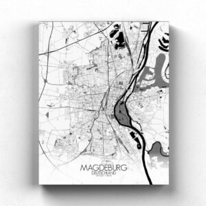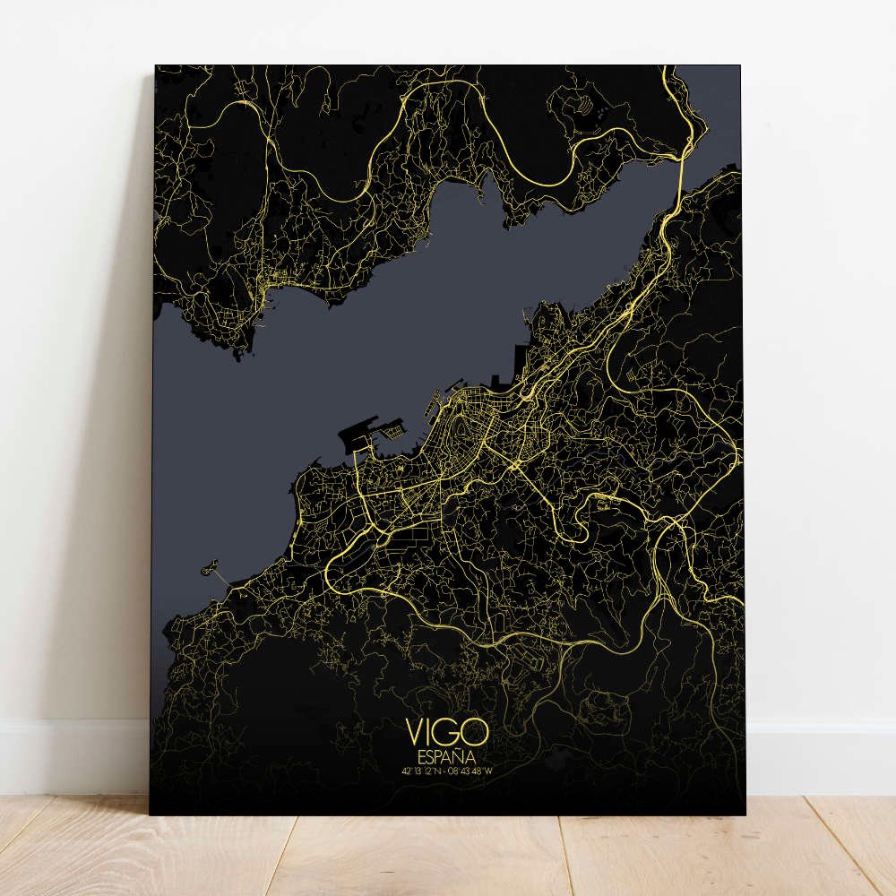
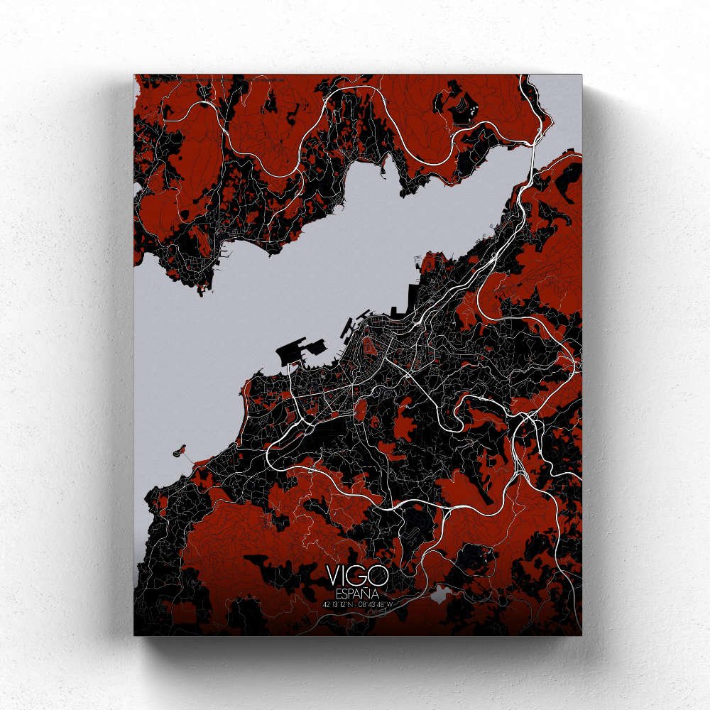
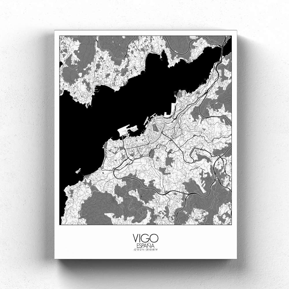
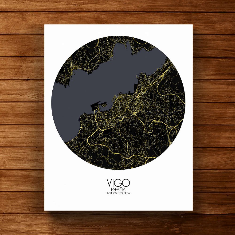
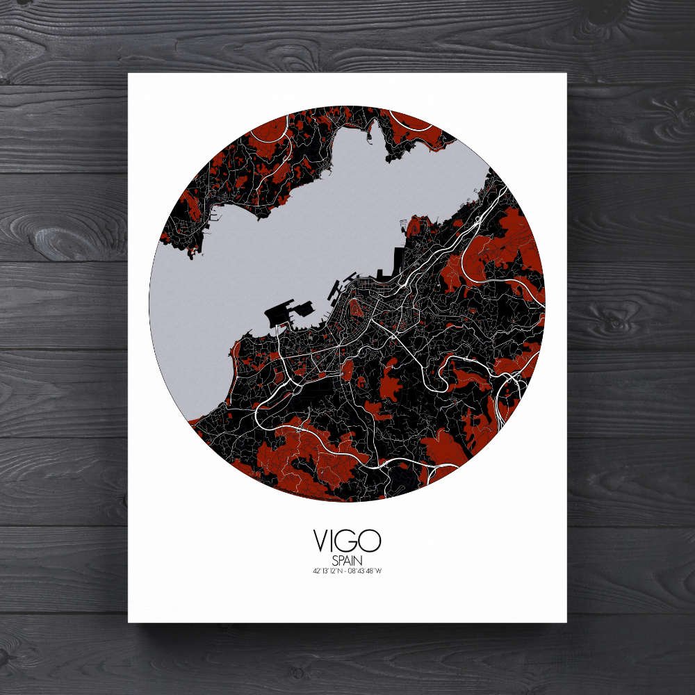
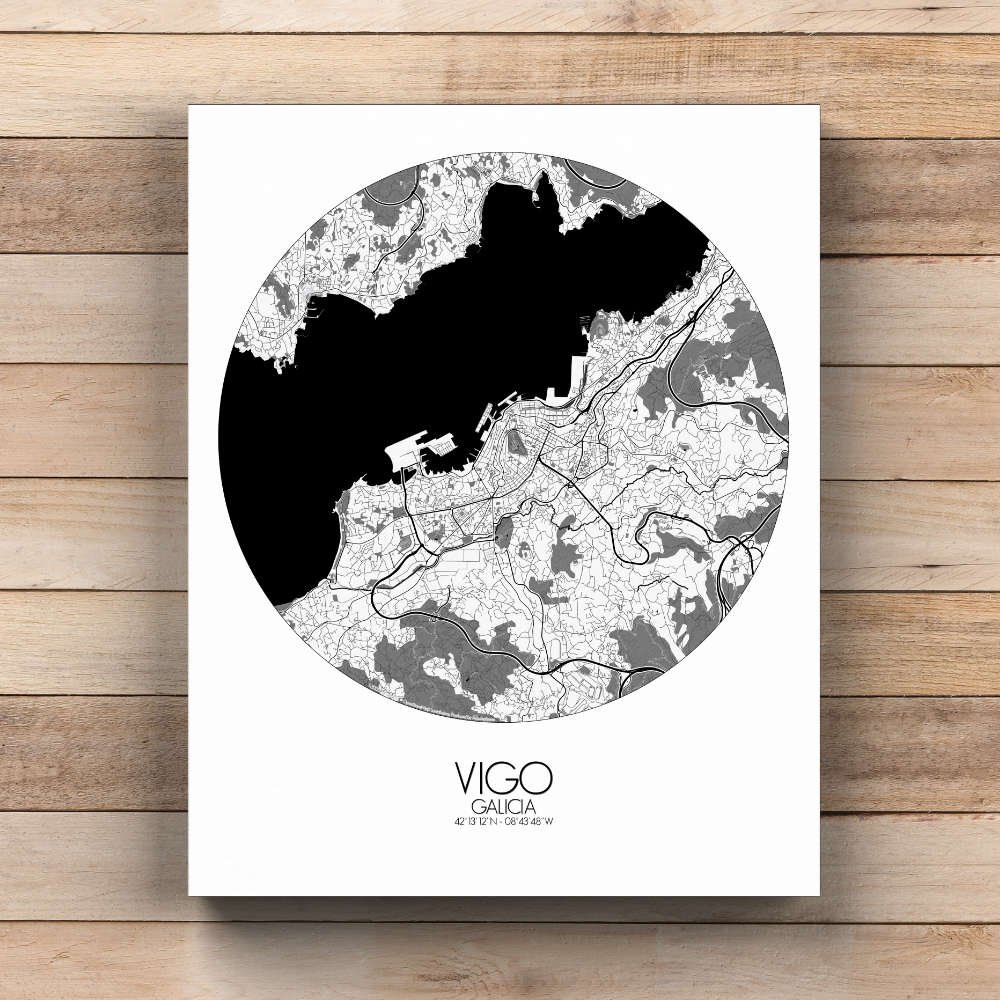
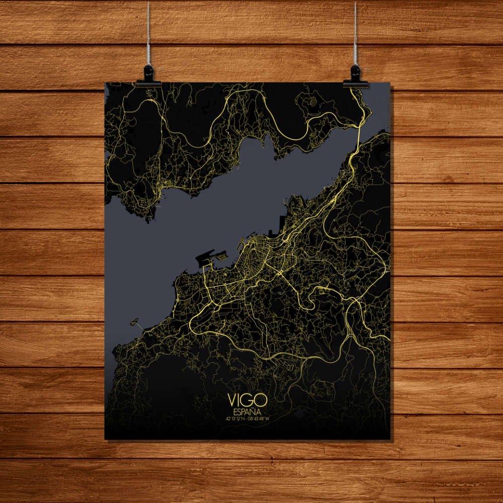
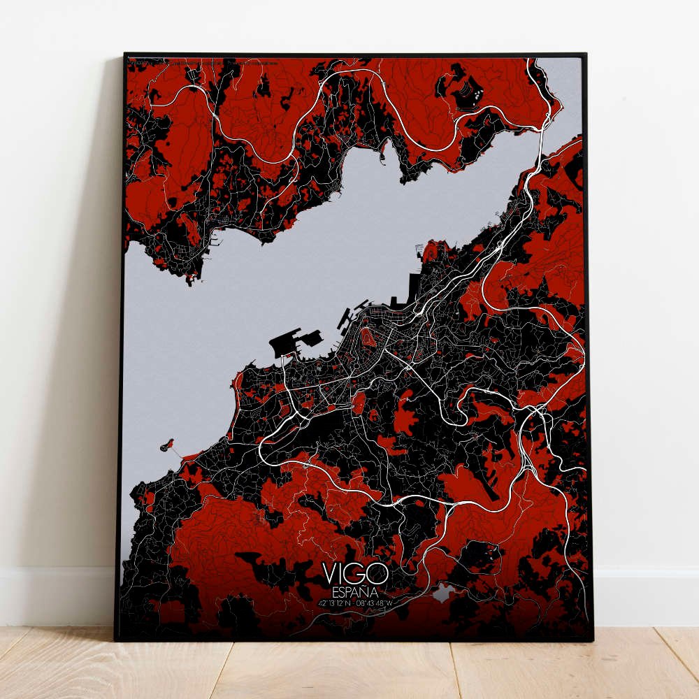
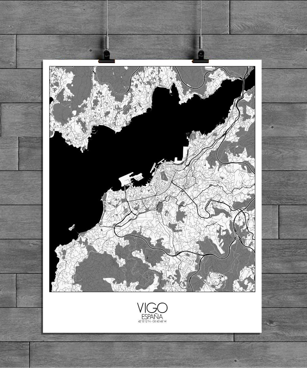
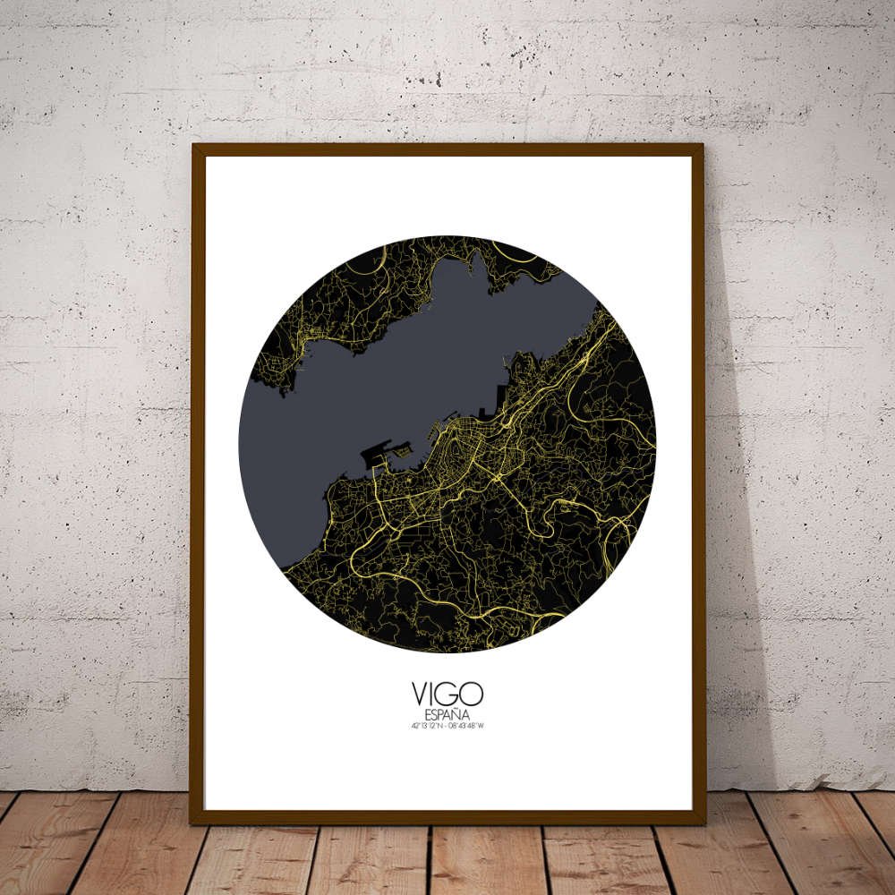
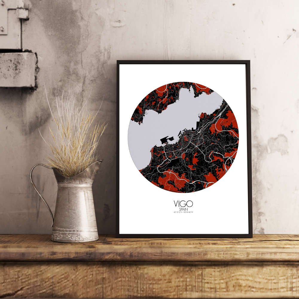
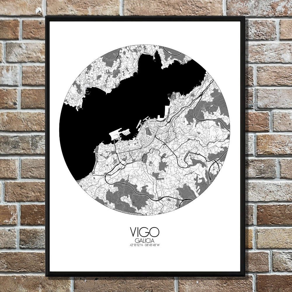
Poster City map of Vigo, Spain: discover a map that captures the essence of this coastal gem in Galicia, a unique blend of old and new, land and sea.
Between the hills of the Ría de Vigo and the Atlantic Ocean, the map beautifully highlights the city’s dramatic topography. The landscape is defined by steep slopes and rugged hills that cascade down toward the shimmering waters of the bay, creating a dynamic and ever-changing view. To the north, the towering hills of O Castro offer a sweeping vista of the harbor and the surrounding islands, with Isla de Toralla and Islas Cíes just a stone’s throw away, as if placed there by the hand of a painter. These islands, part of the Atlantic Islands of Galicia National Park, are a paradise for nature lovers and evoke a sense of mystery and ancient legend. The map also draws attention to the city’s lush green spaces, which provide a delightful contrast to the surrounding coastline and urban bustle. The Parque de Castrelos is a prime example, with its grand tree-lined avenues, serene ponds, and stately manor… They also tell stories of Vigo’s past, where fishermen, traders, and adventurers once roamed, looking out over the waters that would shape their livelihoods. The iconic Plaza de la Constitución lies at the heart of the city, where locals and tourists alike gather to experience the vibrant energy of this maritime hub. From here, the map traces the narrow, winding streets that lead to the Porto de Vigo, one of Spain’s most important harbors, still busy with fishing boats and ferries carrying visitors to the nearby islands. The map also highlights the city’s Iglesia de Santa María—a beautiful blend of medieval and Baroque architecture—and the Museo de Arte Contemporáneo (MARCO), which stands as a modern testament to Vigo’s growing cultural scene.