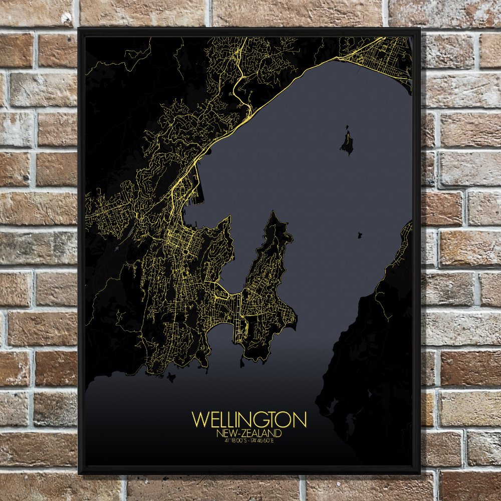
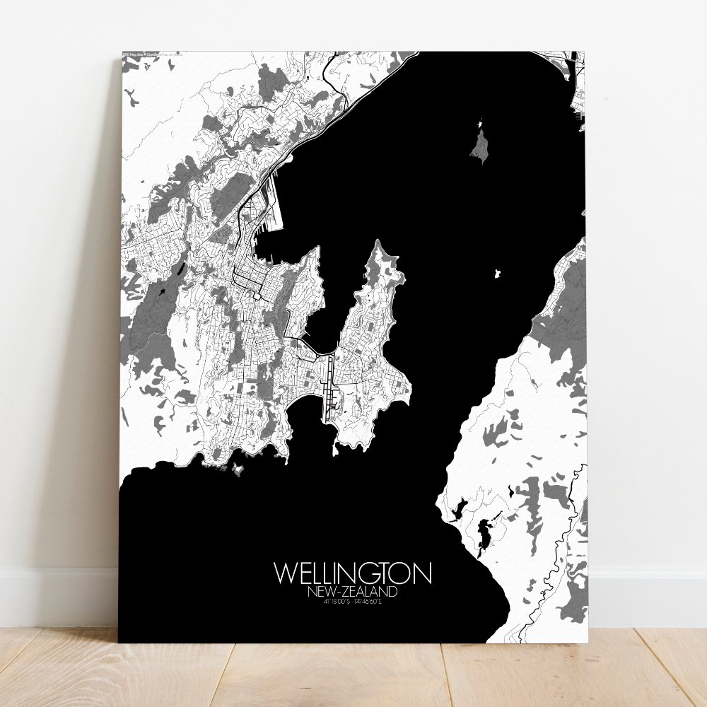
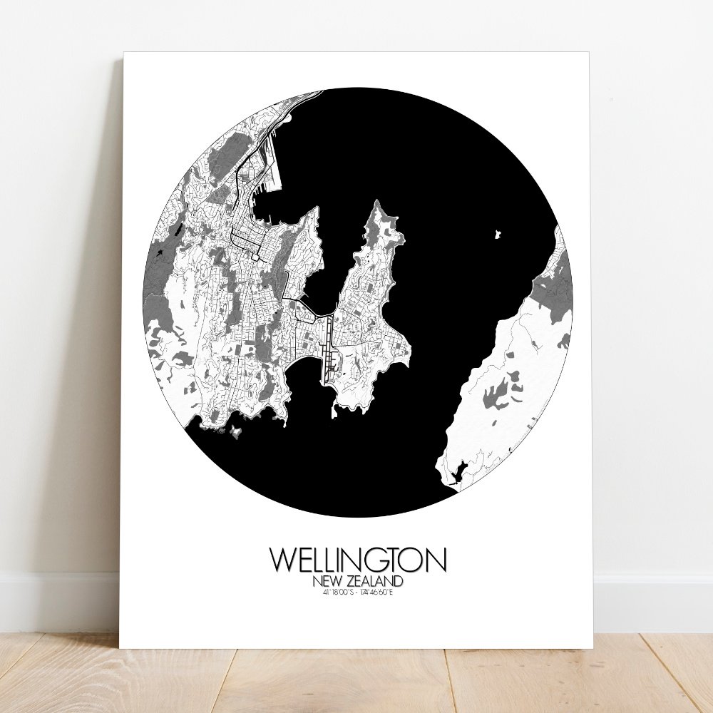
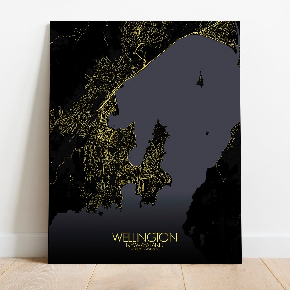
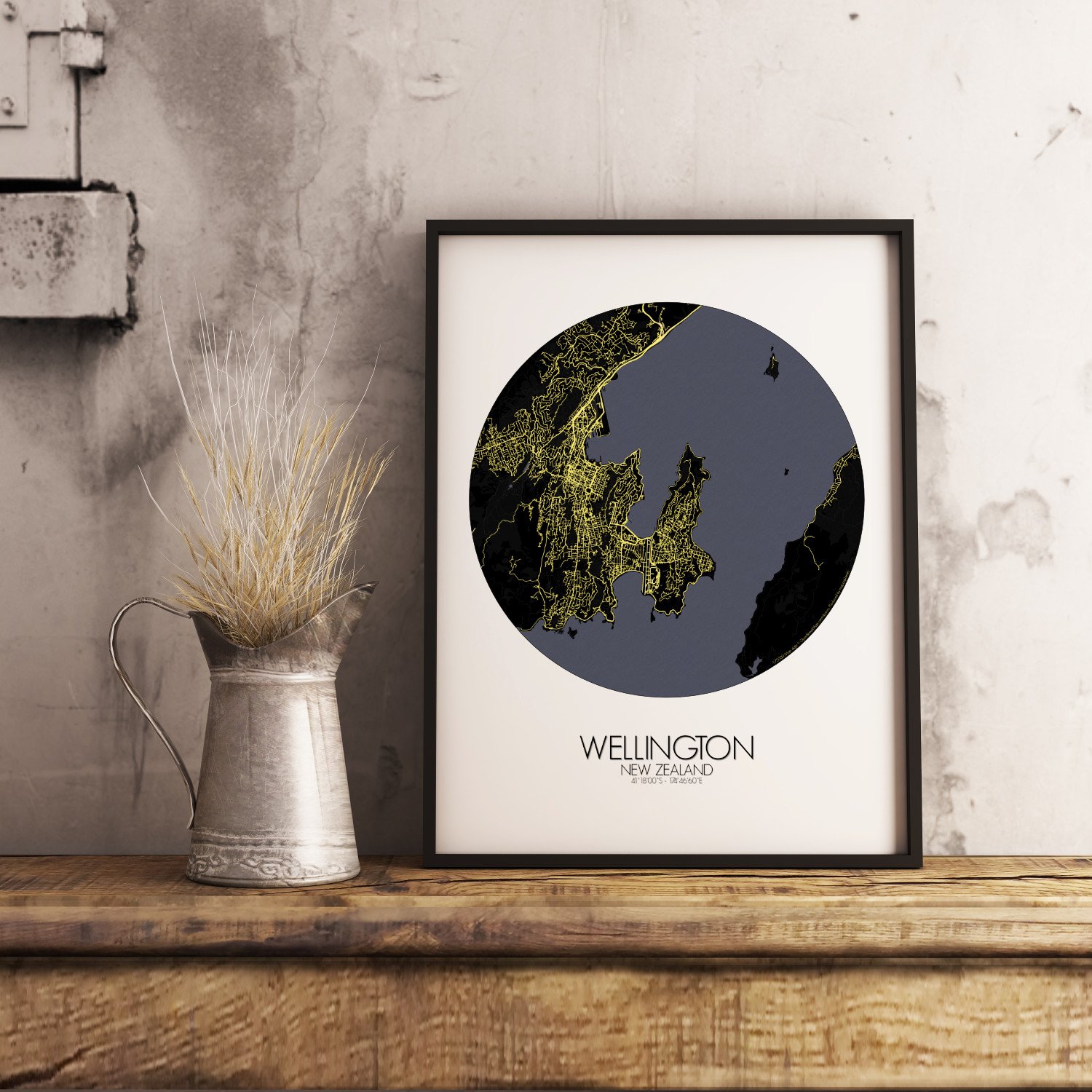
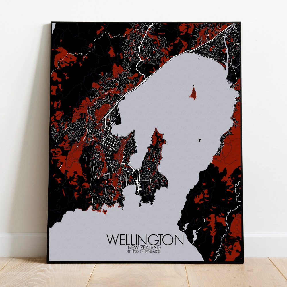
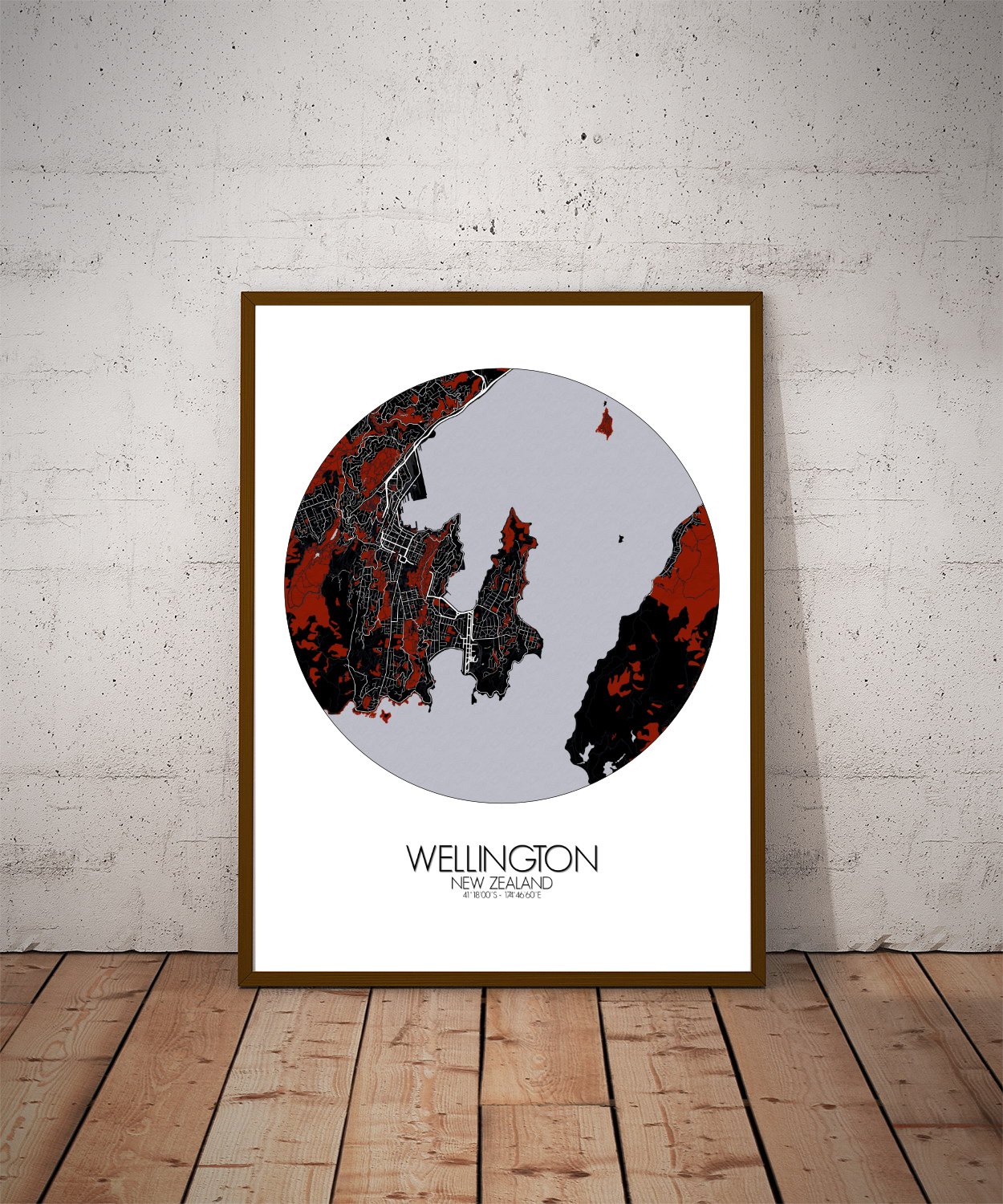
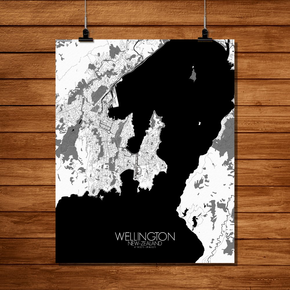
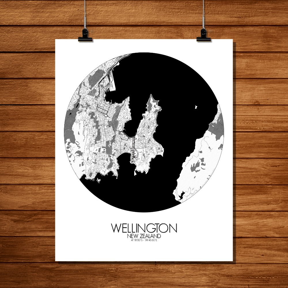
Poster City map of Wellington, New Zealand: Perfect for hanging on the wall of any wanderer, thinker, or wind enthusiast.
Perched at the edge of the world, where hills lean into the sea and the wind has a personality of its own, Wellington unfolds like a natural amphitheatre carved by time and tectonics. This city map captures the bold topography that defines New Zealand’s capital—a cradle of steep slopes, hidden valleys, and a harbour so blue it looks like it was painted in a moment of optimism. The terrain is no idle backdrop here. It shapes everything—from the crooked charm of hillside houses that cling on like determined goats, to the winding roads that seem to be having second thoughts about where they’re headed. Mount Victoria rises to the east, offering a fine perch for those who like their sunsets dramatic and their cityscapes earned by foot. Meanwhile, the Tinakori hills and the green spine of the Town Belt wrap the city in a patchwork of bush, as if nature never quite left the meeting. This map draws out the city’s rhythms—Te Aro’s gridded heart, the snaking coastline of Oriental Bay, and the leafy fingers of Botanic Garden stretching out from the heights of Kelburn. Spot the shape of Zealandia, the urban sanctuary where birds have louder opinions than most politicians, and the Parliament buildings just down the slope, including the infamous Beehive—proof that architecture too has a sense of humour. Wellington’s story is stitched into the land itself. Māori legends speak of the taniwha who carved the harbour, and more recent tales echo from the days of whalers, gold rushers, and filmmakers with elves and orcs in their casting calls.