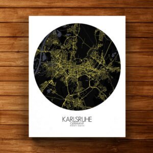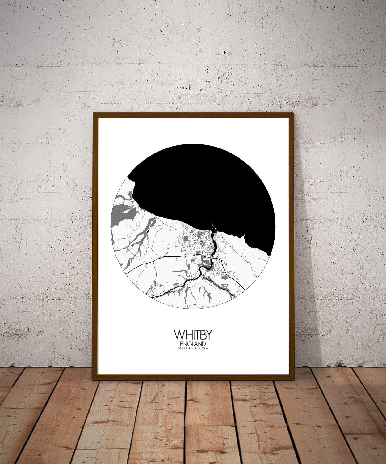

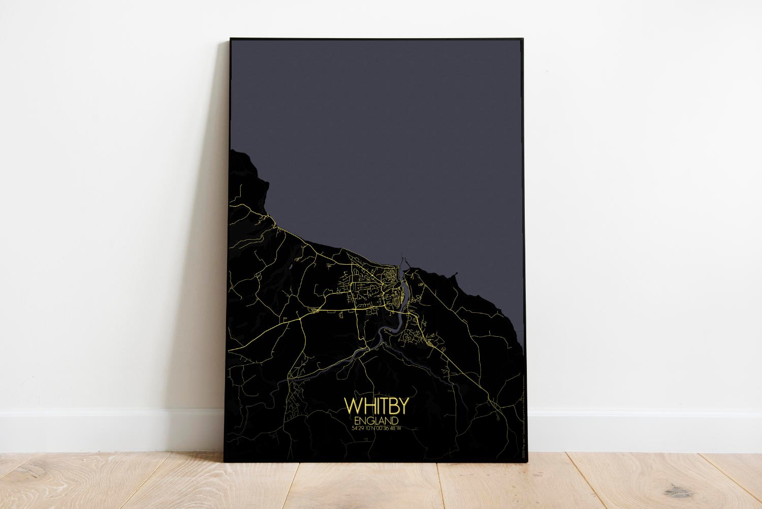
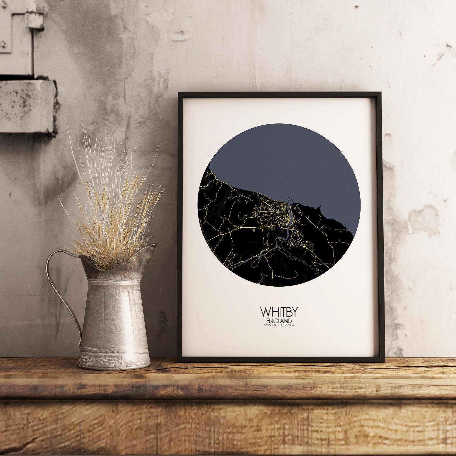
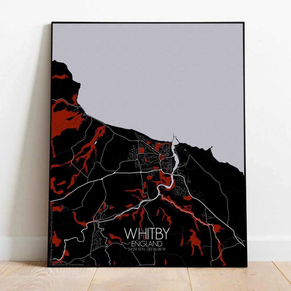
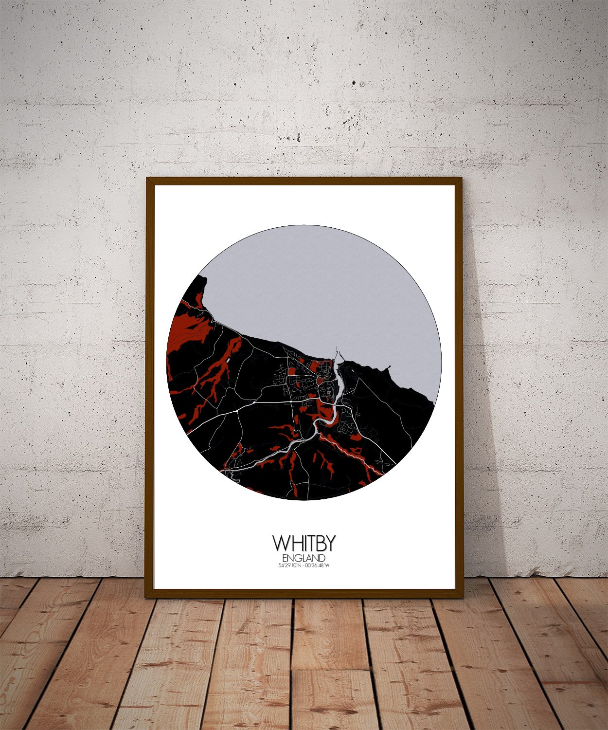
Poster City map of Whitby, England, UK: The North York Moors brush the map’s edge, all heather and hidden trails, promising adventure to anyone who tires of fish and chips. And the sea itself? A constant presence. Sometimes calm, sometimes roaring, always there—just like the stories Whitby keeps telling.
Perched where the North York Moors meet the North Sea, is a town shaped by cliffs, tides, and tales that linger like sea mist. This map lays it all bare—the winding River Esk cutting through the middle like a calm, determined sailor heading to port, and the town unfolding on either side, as if reluctant to leave the shelter of the land. The land here doesn’t lie still. Hills rise gently behind the rooftops, old tracks curve along the contours, and the coastline isn’t content with straight lines. On the east side, the headland stands proud, crowned by the haunting remains of Whitby Abbey—a landmark as famous for its silhouette as for its starring role in Dracula. Even from above, you can almost hear the pages turning. Down below, the harbor cradles boats of all sorts, from weathered fishing vessels to weekend wanderers, and the piers stretch out like arms to sea, guiding ships safely home or gently urging them on. Look closely, and you’ll spot the 199 Steps—yes, all of them—climbing from sea level to the clifftop, a path that’s equal parts pilgrimage and leg workout. To the west, the town spreads comfortably, its rooftops hugging the hills, while the sweep of West Cliff opens up into green space above the beach—a fine place for a promenade or a picnic under the gaze of Captain Cook’s statue, who keeps one eye on the sea and the other, presumably, on New Zealand.