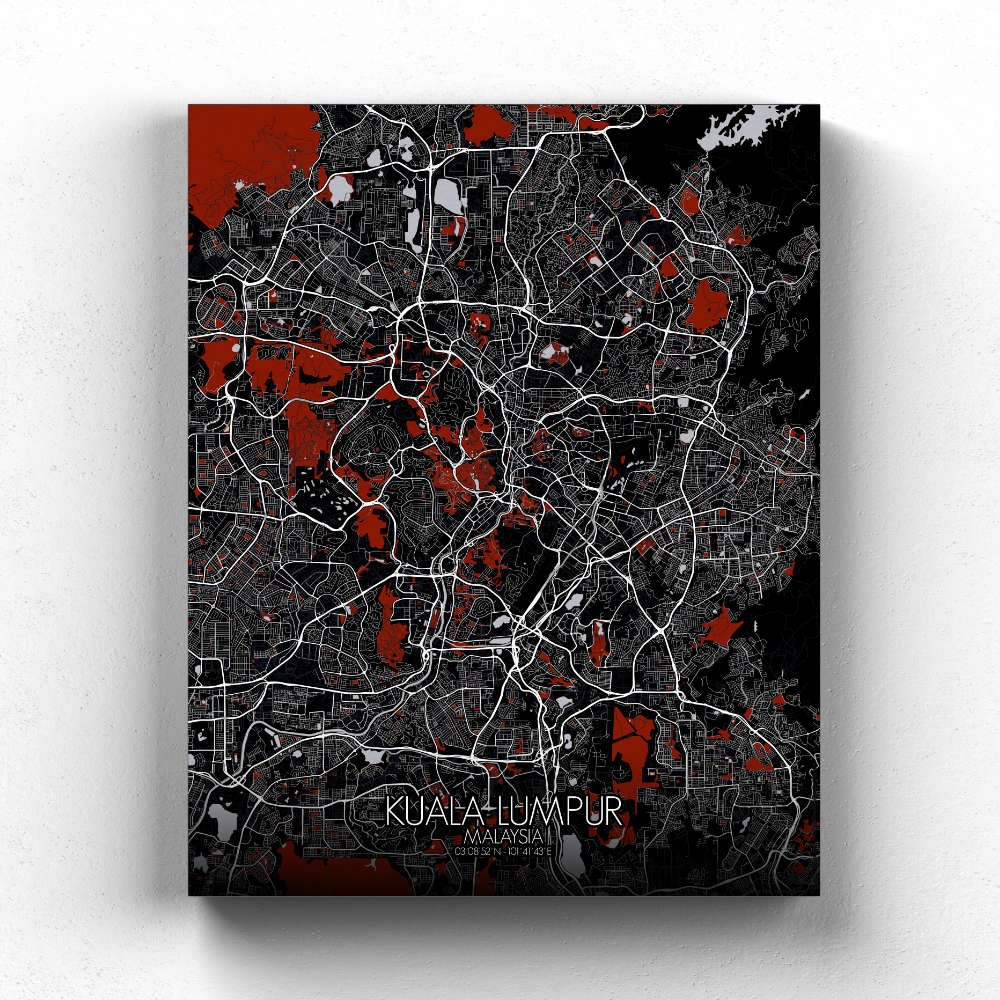
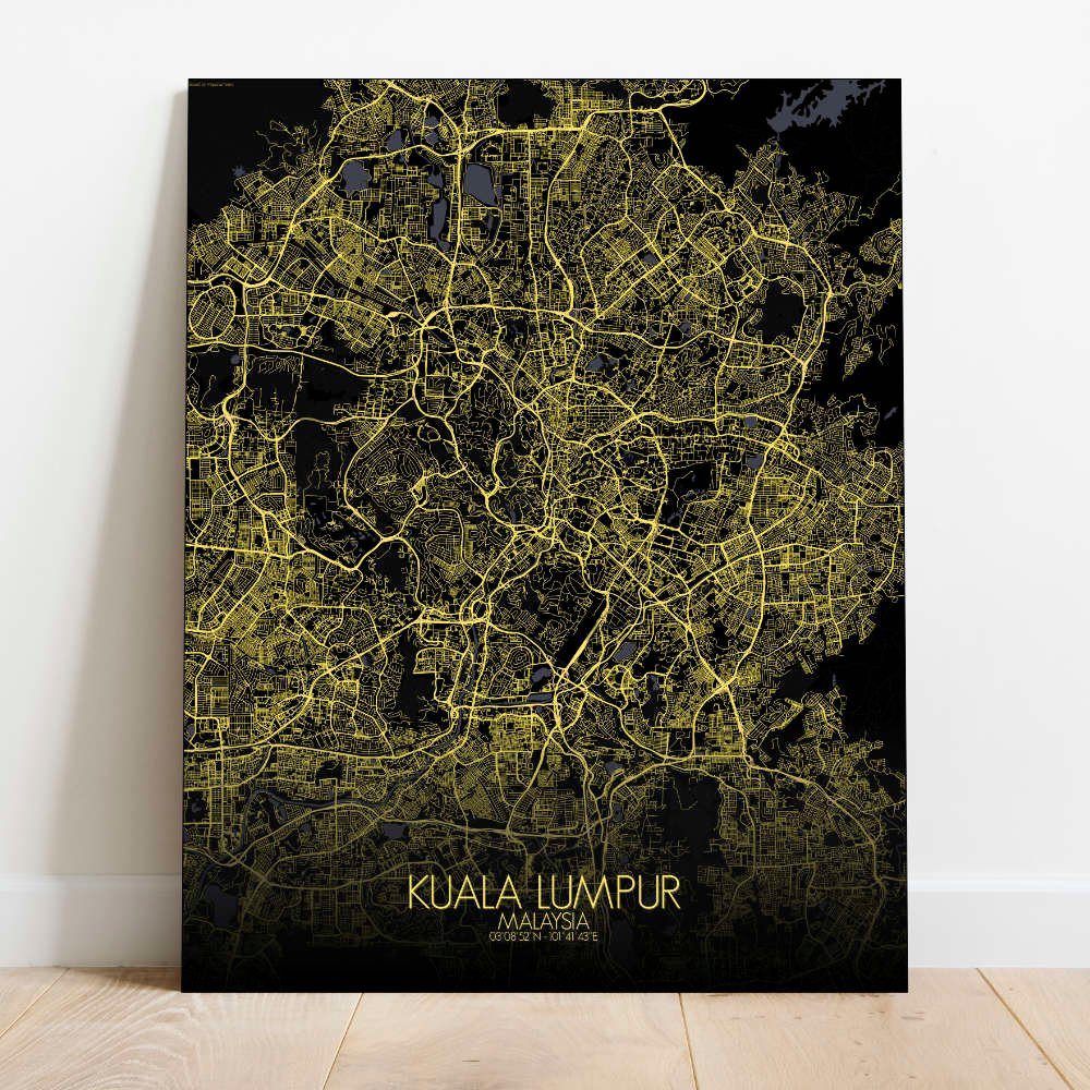
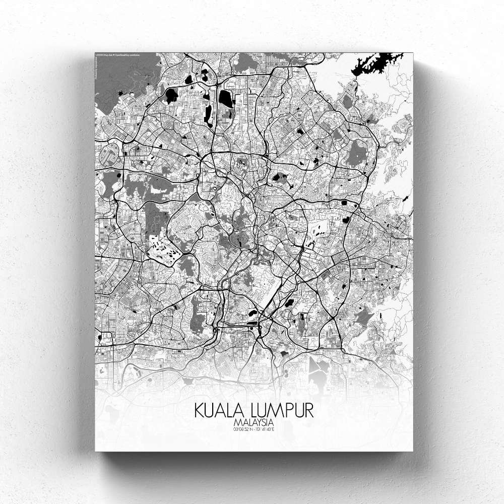
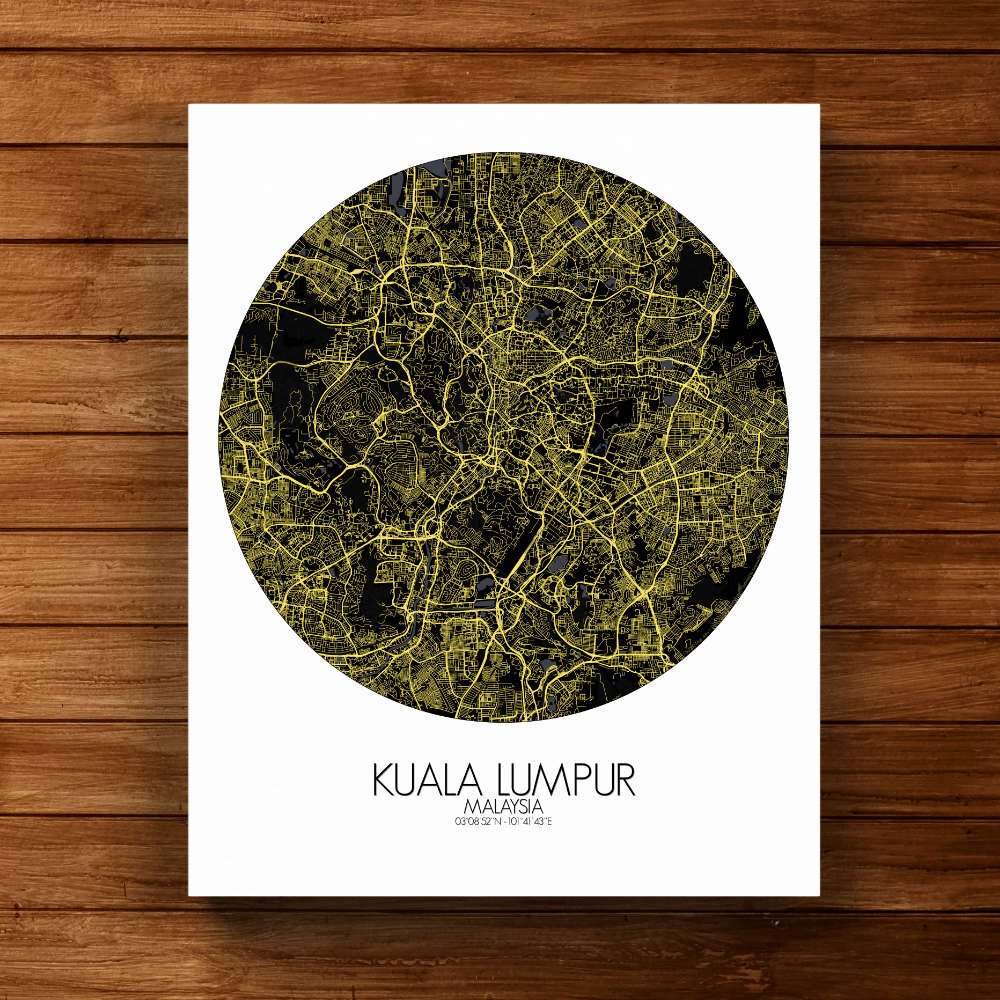
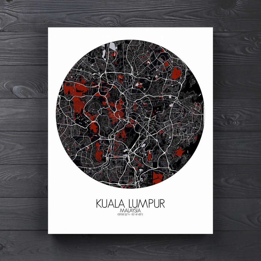
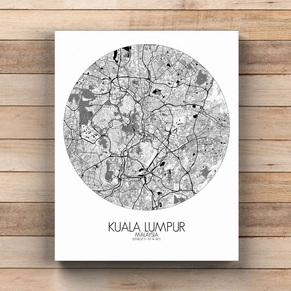
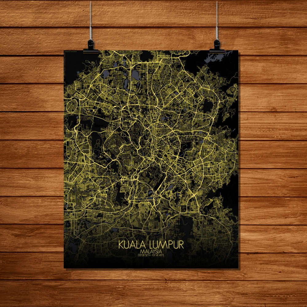
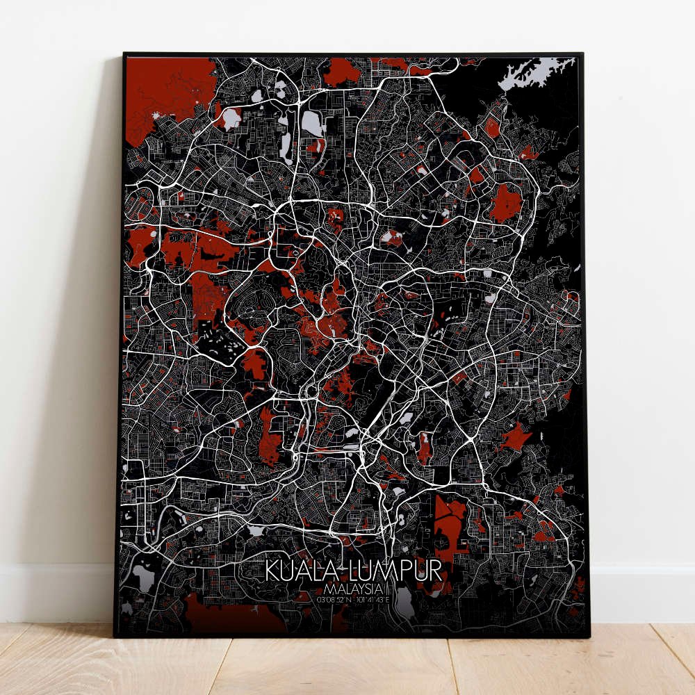
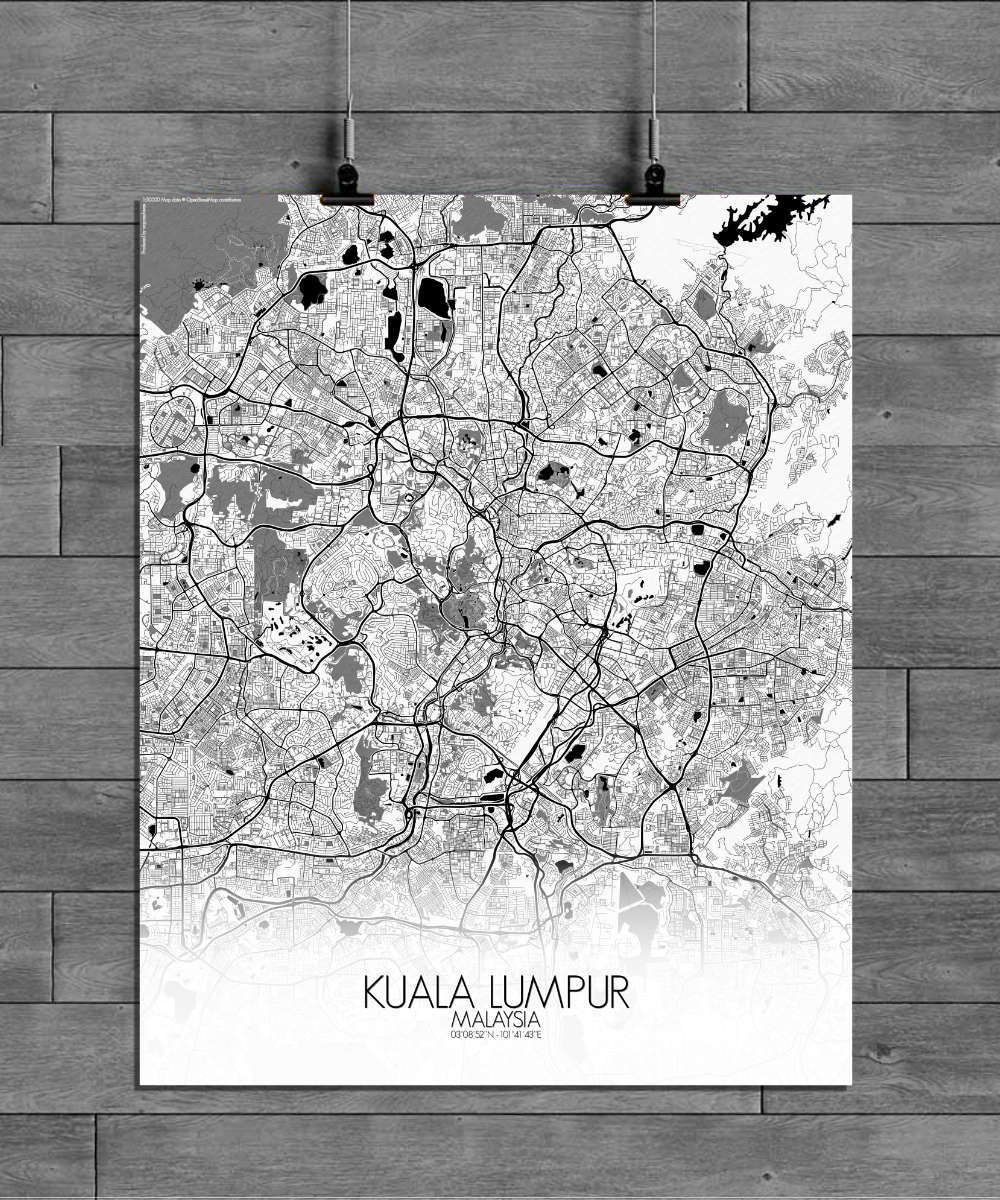
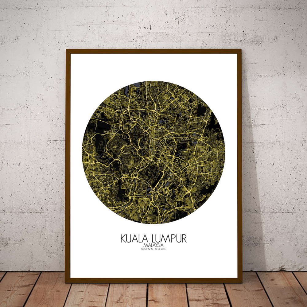
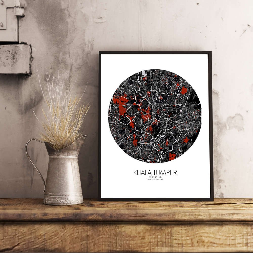
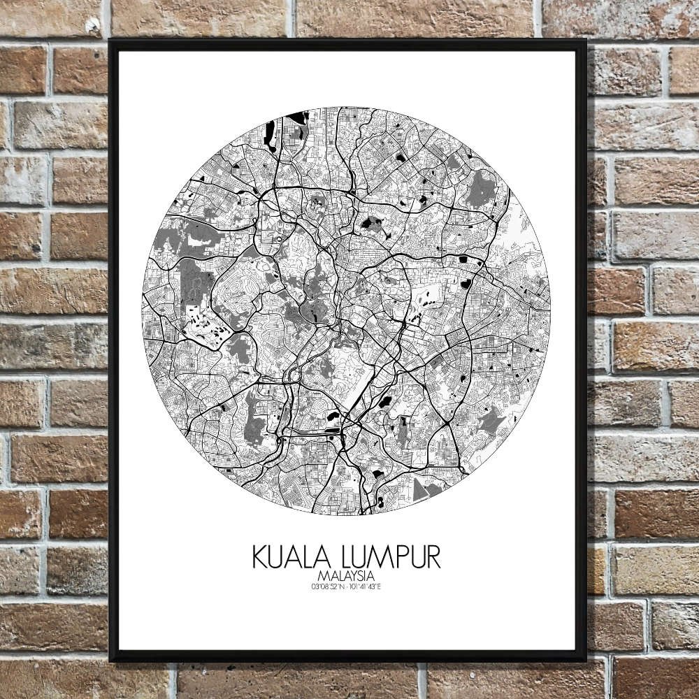
Poster City map of Kuala Lumpur, Malaysia: This map offers a snapshot of a city always evolving, with every curve and landmark telling the tale of a young but proud metropolis that never forgets its roots.
Geographically, Kuala Lumpur sits nestled in a valley between the Titiwangsa Mountains to the east and the limestone hills to the west. The map beautifully highlights the winding rivers that once shaped the city—chiefly the Klang and Gombak rivers—which meet at the very heart of the urban sprawl, where the iconic Petronas Twin Towers now rise above. The city’s terrain is a mix of urban development and surprising greenery. Amidst the skyscrapers, lush parks like the Lake Gardens (or Taman Tasik Perdana) offer a peaceful escape, with its tranquil lakes and shaded pathways. The map showcases these green pockets, providing a balance to the city’s rapidly growing skyline. In the distance, the Bukit Nanas Forest Reserve stands as a reminder of the tropical jungle that once covered the land, now preserved amidst the urban buzz. One cannot miss the towering presence of the Petronas Towers on the map, standing as a symbol of Malaysia’s rise as an economic powerhouse.